The location of a country greatly affects its environment, capability to produce certain crops, import and export efficiency, climate, and how the people live in general.
So what does being at the center of the earth mean, and which country holds that position?
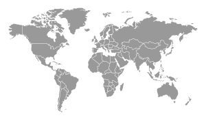
The center of the earth is 0°N 0°E, and the only thing positioned there is Null Island, an imaginary place that scientists use as a reference.
However, the closest country is Ghana, in Africa, with its most southern peninsula Cape Three Points being the nearest land area to the earth’s center.
Table of Contents
What exactly is the center of the earth?
The center of the earth is the point where the Equator (running east to west) meets the Prime Meridian line (running north to south). Since there is no actual landmass there, geologists and scientists had to name it.
The name agreed upon was Null Island.
The name indicates the fact that it is not a real place. However, it is the “landmark” used when measuring the distance of anything or anywhere from the Earth’s center point.
Cape Three Points happens to be the closest actual place to that point.
The junction of 0 degrees latitude and 0 degrees longitude sits roughly 380 miles to the south of Ghana, approximately 670 miles to the west of Gabon.
All of this is in the Gulf of Guinea, a region of warm waters located in the eastern section of the Atlantic Ocean.
Who owns Null Island and what represents it?
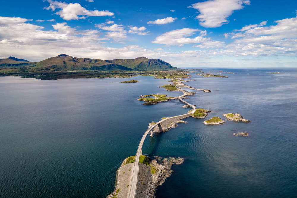
Null Island is located in international waters in the Atlantic Ocean, roughly 600 km off the coast of West Africa, in the Gulf of Guinea.
The exact point, using the WGS84 datum, is marked by the Soul buoy (named after the musical genre), a permanently moored weather buoy.
A tiny islet just off Achowa Point between Akwidaa and Dixcove Ghana (Cape Three Point) is the closest landmass.
The Soul buoy floats above an ocean floor depth of nearly 5,000 meters.
The moored weather and sea observation buoy is part of the PIRATA system operated jointly by Brazil, France, and the United States.
Is Cape Three Points Populated?
The village of Cape Three Points has 450 to 500 people. On the map, you’ll see one tip, but when you climb the eighty-four-year-old lighthouse at the Cape, you’ll see something else!
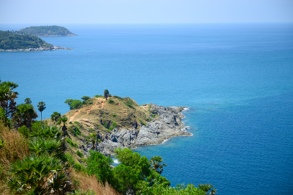
The village of Cape Three Points is the southernmost community in Ghana, and its beach is one of the most beautiful along Ghana’s West Coast.
Surrounded by Ghana’s single oceanfront rainforest conservation and several adjoining highlands, the area also has various allures, like leisure, seashore and beach activities, hiking, and exploration of its cultural present and colonial past.
The drive to Cape Three Points takes visitors through several rural communities.
It continues through oil palm plantations and an extensive rubber plantation originally planted by Ghana’s first president some fifty years ago.
You will view first-hand how fresh rubber is collected from the rubber trees before being part-processed in Ghana and shipped to Europe.
While viewing all the crops on the farms, you could come upon some monkeys frolicking. However, even if you don’t, you have all flora and fauna around you to enjoy, including the beautiful butterflies that occupy this region.
Cape Three Points has a Tourism Development Committee and several trained local tour guides.
How do Cape Three Points’ residents make a living?
Tourism and agriculture are the two primary sources of income for residents of Cape Three Points. The main crops produced in the area are vegetables, palm oil, cassava, and maize.
The roads are rough, but the beach is fantastic, and so, tourists continue to flock to Cape Three Points. Activities that visitors and locals alike participate in include:
- Local excursions
- Surfing
- Bodyboarding
- Swimming
- Sun-Bathing
- Village Life
Most people like to go there for its proximity to Null Island. In this way, they can jokingly say they visited the “land next to nowhere.”
As for farming, residents plant and export a wide array of goods. Many of the farms’ produce is used locally as well.
When is the best time to visit Ghana?
The climate in Ghana is affected by wind and rain, and due to its location near the equator, it doesn’t see large temperature variations.
Ghana is best to visit during the dry season, from October to March.
It’s easy to travel across Ghana during the rainy season because of its well-maintained roads, but it’s still rainy and humid in summer, so don’t plan on having a nice trip.
Mole National Park is a great place to watch elephants during the dry season, from December to March. From December on, be on the lookout for the arid harmattan wind, which comes in from the Sahara.
A guide to visiting Cape Three Points and when not to go
The driest period of the year, from November through April, is the best time to visit.
In the drier months of January, February, and March you won’t have to worry about flooded roads. Also, wildlife will congregate around the few ponds that collect, making them easier for you to view.
Saharan winds sweep from November through March, bringing with them the harmattan wind.
Be prepared for extreme dryness; pack moisturizer and lip balm (or stockpile up on local shea butter!) and expect a scratchy throat.
Photographers must be prepared for foggy photos and avoid changing lenses outside, while contact lens users could carry glasses or eye drops in the event of sensitivity.
Planes can be canceled due to low visibility caused by these winds, especially in Tamale, on occasion.
April, May, and June are the wettest months of the year in the central and southern regions of Ghana. September, October, and the first part of November are the drier months.
March to September are the rainy months in the north, where there is a desert climate. Nonetheless, when rain does fall in the north, it can bring massive flooding and clogged highways.
What are some fun activities to do at Cape Three Points?
The Dipo festival is a great way to soak in the culture and have some fun. It takes place on a specific date each year in Ghana (see below). Others, like the Ashanti Akwasidae celebrations, take place regularly. Sundays are the day of the week for them.
What is Ghana’s ecosystem like?
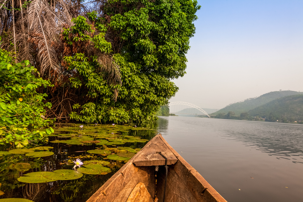
Ghana’s west coast is a haven for nature lovers.
The village has many highlands, gorges, evergreen woodlands, bamboo forests, preserves, conserved marshlands, forested islands, lakes, lagoons, ponds, swamps, ocean, beaches, coves, bays, rocky peninsulas, rock formations, monkey sanctuaries, and bird sanctuaries.
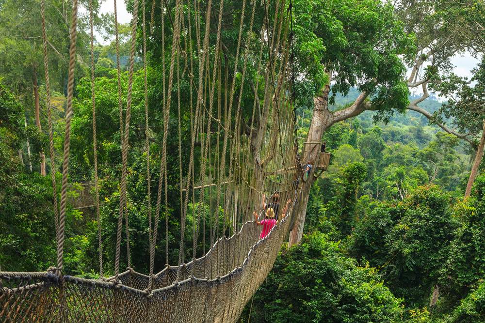
Throughout Ghana’s wettest region, the vegetation is lush and green year-round. Cape Three Points Forest Reserve, West Africa’s last remaining coastal rainforest, is there as well.
Cape Three Points Forest Reserve
Cape Three Points Forest Reserve has an abundance of tropical plants to see, with more than 800 varieties of ferns, lilies, and Amansuri floating grass. Medical experts and locals use many of the plants for medicinal purposes.
Various crops are grown commercially here as well, so there are many plantations for palm oil, coconut palm, rubber, and cocoa, in the area.
There are also numerous smallholder farms for nurturing corn, cassava, sugarcane, pineapple, tomatoes, and peppers.
What animals can you see in Ghana?
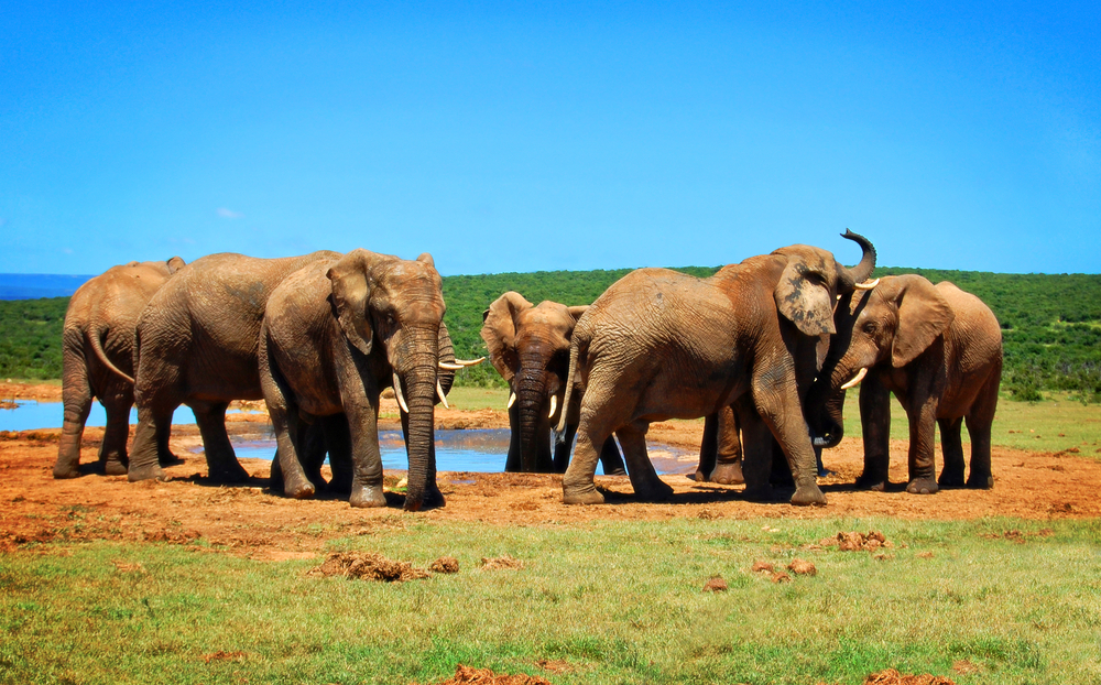
Explorers will come upon various animal species in Ghana’s West Coast region, including elephants and crocodiles.
Many different kinds of monkeys, such as the Campbell’s Monkey and the Spot-nosed Monkey, may be found in this area as well, which is home to over 48 different types of mammals.
In addition, there are over 200 different types of birds (which include the Crowned Eagle and Spot Breasted Ibis).
Kingfish, Cassava Fish, Tuna, Swordfish, Barracuda, and shrimp are just a few of the many varieties of fish and shellfish living in Ghana’s waters.
You can find Green, Leatherback, and Olive Ridley turtles along Ghana’s west coast from August through March.
From October to February, sightings of dolphins and whales (comprising sperm and humpback whales) are not uncommon.
How do you get to Cape Three Points?
By car:
You can reach Cape Coast and Takoradi by the roadway that connects Accra with the capital city. Takoradi is a four-hour drive from Accra and a one-hour drive from Cape Coast, respectively.
Make the very first right turn at the Kwame Nkrumah Roundabout on the suburbs of Takoradi (adjacent to Goil Station).
On this stretch of road is the Agona-Tarkwa-Elubo highway. After half an hour of straight driving, you’ll come to the Agona roundabout.
For exact routes to your desired location, check www.ghanawestcoast.com or inquire at Agona.
Both Cape Coast and Takoradi are accessible from Kumasi through Yamoransa, or you can travel straight to Takoradi via Tarkwa as well as Bogoso.
Using mass transit:
First, you’ll need to get to Takoradi from Accra. On Ring Road West, just outside Kwame Nkrumah Circle, visitors should take an STC bus, or at Kaneshie Market, one could hire a private minivan or coach.
The cost of a one-way trip to Takoradi is around GH 7.00, and the journey takes approximately four hours to complete.
There are two ways to get from Kumasi to Takoradi: STC bus or train
At the Kwame Nkrumah Roundabout (commonly called as “Agip” roundabout) or West End (outside Tarkwa metro, towards the STC bus depot) upon reaching Takoradi.
Request for a “tro-tro” (minibus) to get you there.
Takoradi has an airport for anyone traveling by plane.
There is a 50-minute plane ride from Accra to Takoradi, from where you can either take a leased car or use public transportation to continue your tour.


