When you think of rivers in North America, you probably think of rivers like the Mississippi, Missouri, and the Rio Grande. Although these rivers do indeed constitute a great part of America’s river systems, they’re only a few of many.
In fact, there are several major rivers extending through the US, Canada, and Mexico, contributing to ecosystems and serving as the lifeblood of their local communities.
Currently, North America has 250,000 rivers. Here are the 30 longest rivers.
Table of Contents
The Longest Rivers in North America
Number
River
Length (miles)
Length (kilometers)
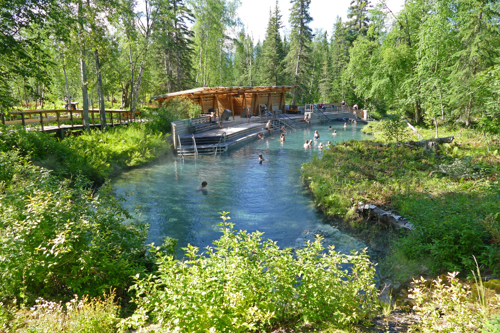
1
Missouri River
2,341
3,768
2
Mississippi River
2,202
3,544
3
Yukon River
1,979
3,190
4
Rio Grande
1,759
2,830
5
Colorado River
1,450
2,330
6
Arkansas River
1,443
2,322
7
Columbia River
1,243
2,000
8
Red River
1,125
1,811
9
Mackenzie River
1,080
1,738
10
Snake River
1,040
1,674
11
Churchill River
1,000
1,609
12
Ohio River
979
1,575
13
Colorado River of Texas
970
1,560
14
Tennessee River
935
1,504
15
Canadian River
906
1,458
16
Brazos River
860
1,390
17
Fraser River
854
1,374
18
North Saskatchewan River
800
1,288
19
Ottawa River
790
1,271
20
Athabasca River
765
1,231
21
Green River
760
1,230
22
St. Lawrence River
744
1197
23
Pecos River
730
1,175
24
White River (Arkansas)
720
1,159
25
James River
710
1,140
26
Kuskokwim River
702
1,130
27
Cimarron River
698
1,123
28
Cumberland River
696
1,120
29
Liard River
693
1,116
30
Yellowstone River
678
1,091
1. Missouri River: 2,341 miles (3,768 kilometers)
Draining one-sixth of the US and covering 529,350 square miles, the Missouri River is the country’s longest.
The river starts at the junction of the Gallatin, Madison, and Jefferson rivers in the Rockies at Three Forks, Montana, ending at its junction with the Mississippi River at St. Louis Missouri.
A once meandering river, the Missouri is channeled in its lower part and has 6 dams in its upper parts. Its water flow is regulated by the US Army Corps of Engineers.
Ten million people from ten US states (including Missouri, Colorado, Nebraska, and North Dakota), a small portion of Canada, and 28 Native American tribes call the Missouri River basin home.
Because the river, prior to its development, carried high amounts of sediment, it earned its nickname “Big Muddy.”
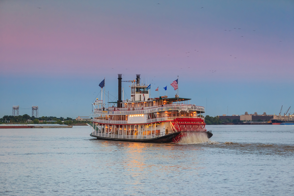
2. Mississippi River: 2,202 miles (3,544 kilometers)
Perhaps the best-known river in the US, the Mississippi River makes a great part of the fabric of America, from its history to its literature to its present-day economy.
Even American laureate Mark Twain noted the Mississippi’s diverse landscape, saying, “Along the Upper Mississippi every hour brings something new. There are crowds of odd islands, bluffs, prairies, hills, woods, and villages…Few people ever think of going there, however…We ignore the finest part of the Mississippi.”
Considering the fact that the Mississippi, the second-longest river in the US, runs through 10 US states (including Mississippi, Illinois, and Louisiana), it’s easy to see what the legendary writer meant.
The river drains 41% of mainland US, carrying more water than any other river in the country. Furthermore, 25% of all North American fish species can be found in the Mississippi River basin.
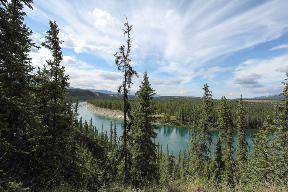
3. Yukon River: 1,979 miles (3,190 kilometers)
Known as the longest river in the Yukon Territory and Alaska, the Yukon River flows northwest from the Coastal Range Mountains in the north part of British Columbia. It runs through the Yukon Territory and the state of Alaska before emptying into the Bering Sea.
The Yukon was used as a primary means of transportation during the Klondike Gold Rush in the late 1800s. People continued traveling along the river using paddle-wheel riverboats until the 1950s when the Klondike Highway was finished.
Yukon means “Great River” in Gwich’in, a Native American language. In the past, the river was called Kwiguk, which means “Large Stream,” by the Yupik. Currently, the river is referred to as Chu Nínkwän by the southern Tutchone.
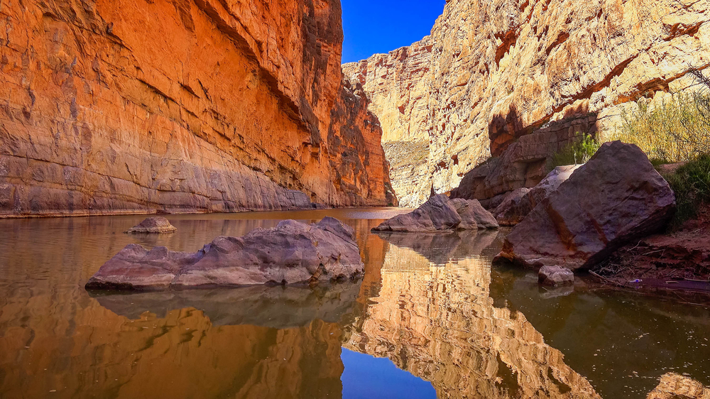
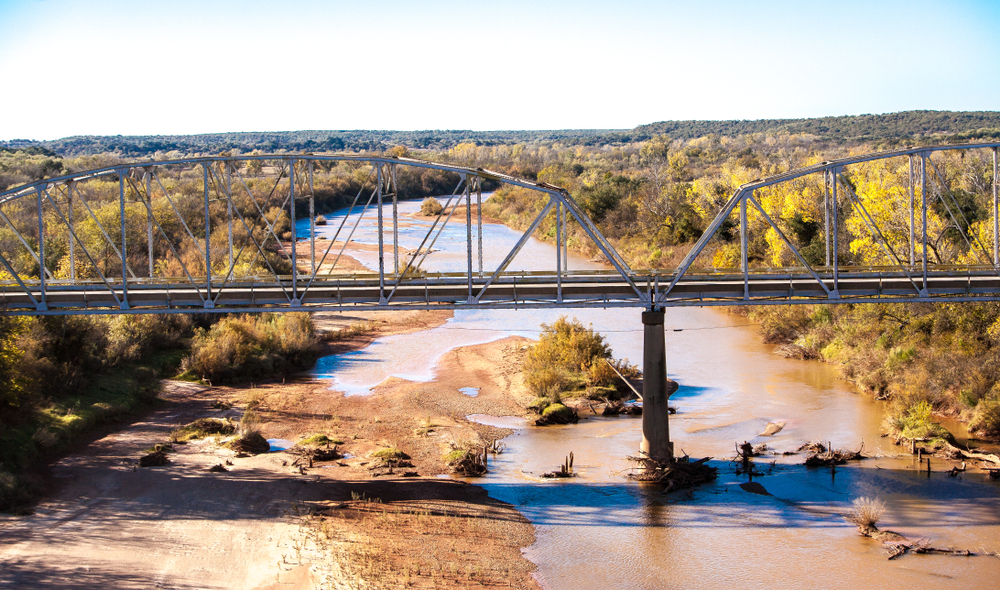
4. Rio Grande: 1,759 miles (2,830 kilometers)
The Rio Grande, which drains 11% of mainland US (much of which is drought-prone land), has become increasingly dry in recent years. This is mostly due to irrigation efforts and the building of dams along the stream.
In 2001, the river failed for the first time to reach the Gulf of Mexico, and it happened again in 2002.
However, parts of the Rio Grande are, to this day, spectacular sights to behold. These include the National Wild and Scenic Rivers System, two national monuments, and a national park. Additionally, the river cuts through canyons made of the volcanic rock of New Mexico’s Taos Pueblo, which happens to be a UNESCO World Heritage Site.
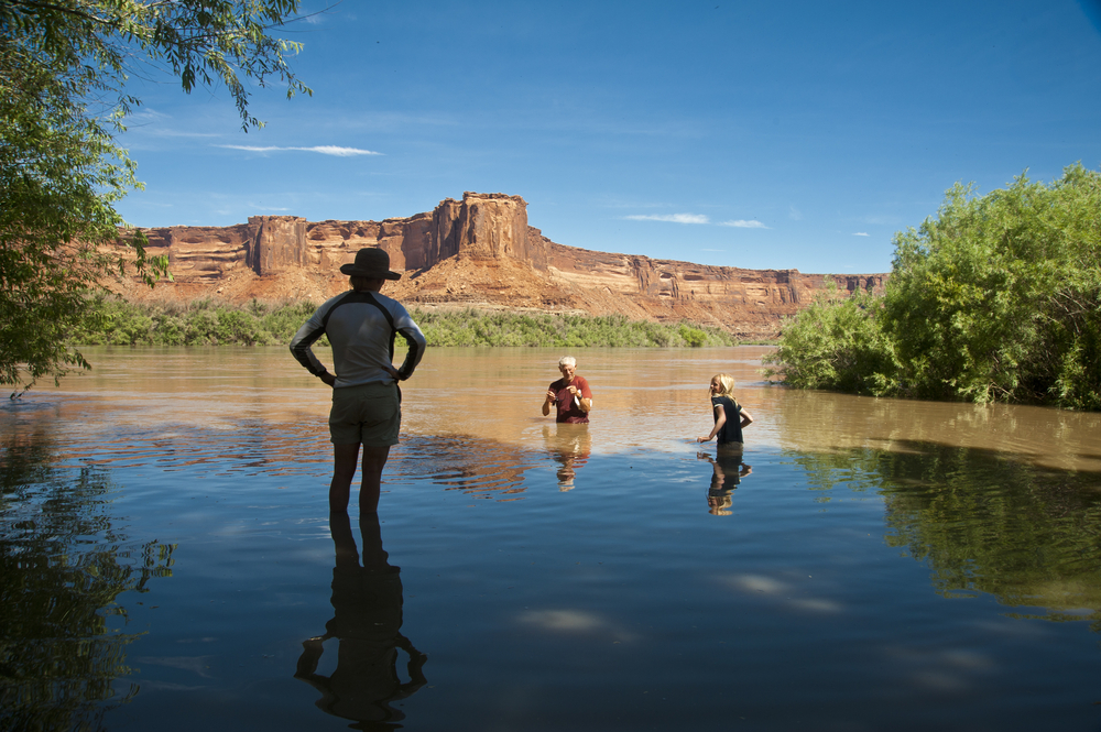
5. Colorado River: 1,450 miles (2,330 kilometers)
The Colorado River, formerly known as the Grand, originates from La Poudre Pass Lake in the Rockies of Northern Colorado, carving through various American landscapes ranging from canyons to buttes to mesas.
Once a mighty river, it now ends only a few miles away from the Gulf of Mexico.
Passing through 11 national parks and monuments, including the Grand Canyon, the river has long been utilized for industry and agriculture in both the US and Mexico.
Although it took a long time for the river and its attractions to gain national recognition, the river eventually became a hub for hydraulic-engineering projects, which today provide drinking water for around 36 million people.
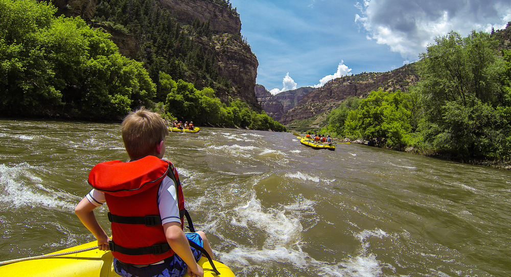
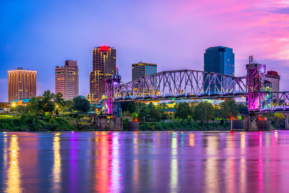
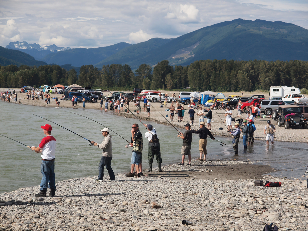
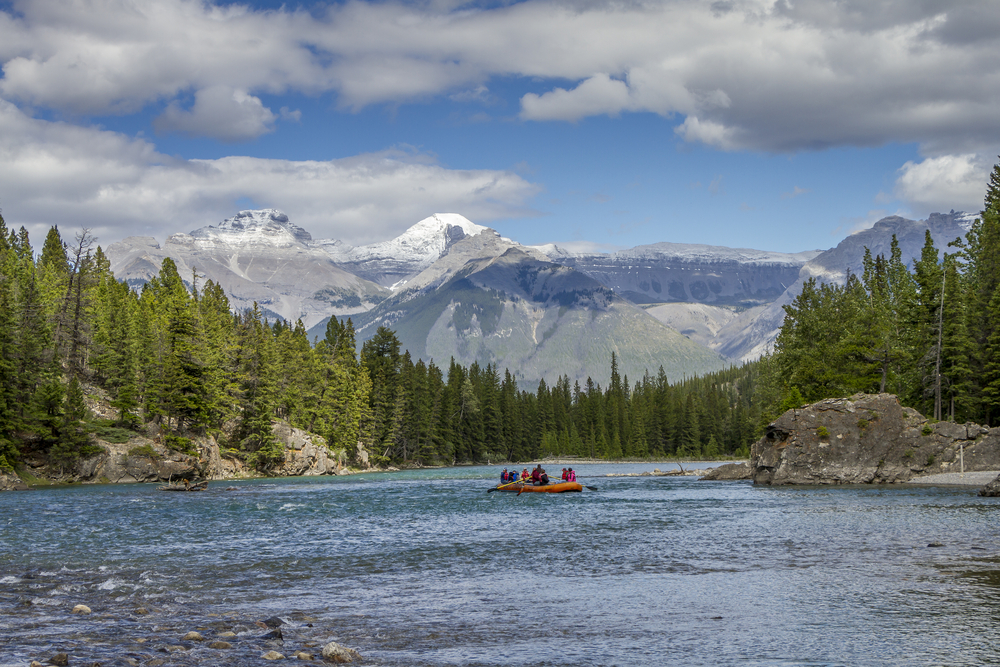
6. Arkansas River: 1,443 miles (2,322 kilometers)
Beginning in the Rockies near Leadville, Colorado, the Arkansas River passes through the cities of Pueblo, Wichita, Tulsa, Fort Smith, and Little Rock before reaching its mouth in Napoleon, Arkansas.
Most of the river’s headwater comes from snow in the Sawatch and Mosquito Mountain Ranges, increasing in elevation from 55 feet to 2,753 feet.
The river’s drainage discharge encompasses 161,000 square miles, with an average discharge of 41,000 cubic feet per second.
Activities on the Arkansas River include whitewater rafting (especially at Browns Canyon and the Royal Gorge), hiking, rock climbing, camping, wildlife watching, and panning for gold at different points along the river.
Visitors can also take a trip to the Arkansas Riverwalk in Pueblo. There they can shop, eat, view art, and take a boat cruise through the channel.
7. Columbia River: 1,243 miles (2,000 kilometers)
With a basin that covers 258,000 square miles, the Columbia River runs through 4 mountain ranges before draining into the Pacific Ocean. In fact, this river drains more water into the Pacific than any other river in North or South America.
In addition to providing drinking water for several communities throughout its course, the Columbia River irrigates 600,000 acres of land.
Although the river’s 19 dams have provided roughly half of the region’s electricity and aided in flood control, they’ve also contributed to the decline of the many salmon and steelhead populations. The Columbia River, which used to produce the earth’s largest salmon runs, now has 13 stocks that are officially considered endangered species.
Pacific lamprey and sturgeon have also been affected, and the construction of the dams has led to a reduction in water quality.
8. Red River: 1,125 miles (1,811 kilometers)
Named for the reddish color that comes from it flowing through red-bed country, the Red River forms the boundary between Texas and Oklahoma.
Once a Mississippi River tributary, it’s now a tributary of the Atchafalaya River. Visitors can stand atop a bridge overlooking the river and take in its breathtaking scenery.
Because of its abundance of flora and fauna, the river is a popular tourist destination.
Migratory fowls that can be found around this river include belted kingfishers, ducks, geese, hawks, falcons, Great blue herons, golden eagles, and bald eagles.
Visitors can catch glimpses of rare animal species in the region, such as blue catfish and striped bass.
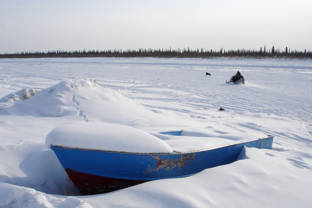
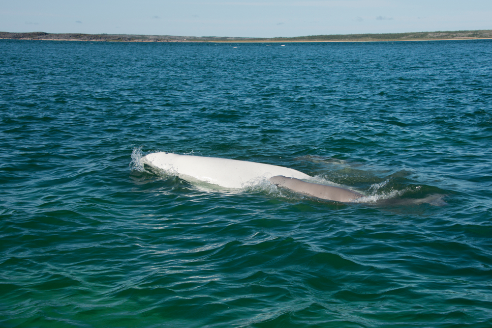
9. Mackenzie River: 1,080 miles (1,738 kilometers)
Famed for being Canada’s longest river, the Mackenzie River starts in Great Slave Lake, located in Canada’s Northwest Territories, flows north, and empties into the Arctic Ocean.
The river, along with its tributaries, drains 696,992 square miles and has an average discharge of 342,552 cubic feet per second.
Its large marshy delta makes it an ideal habitat for tundra swans, snow geese, brant, and other waterfowl. The river’s estuary serves as a calving place for beluga whales.
Because the river stays frozen from October to May, the river is only navigable for about 5 months of the year. During the winter, parts of the river are used as ice roads.
Named after Alexander Mackenzie, who navigated the river in hopes of reaching the Pacific Ocean, the river is referred to as Deh Cho in the Dene languages.
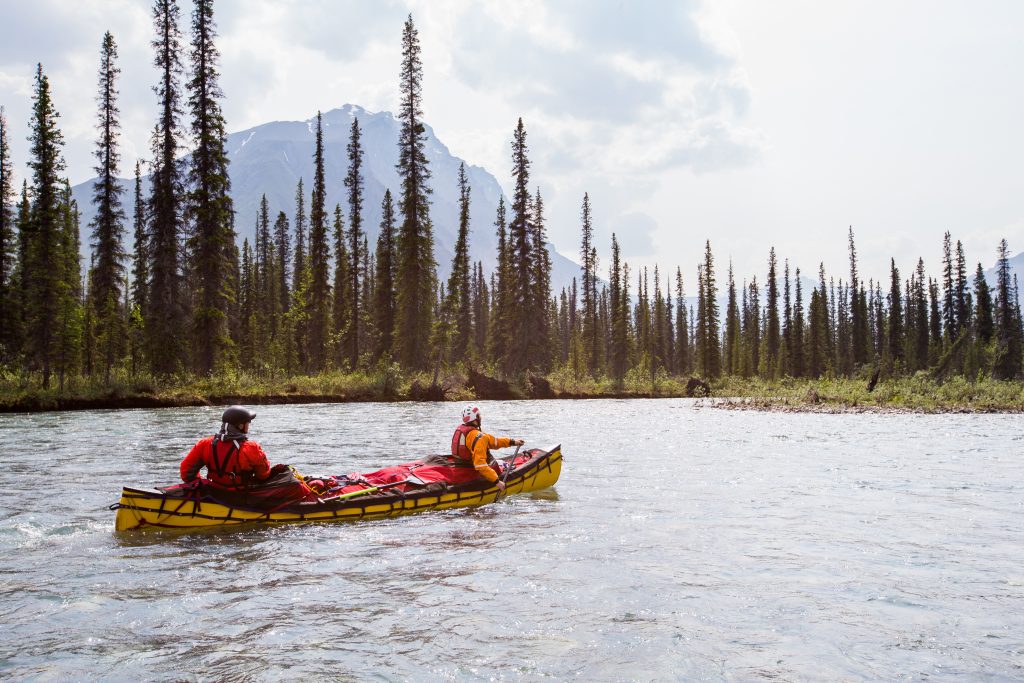
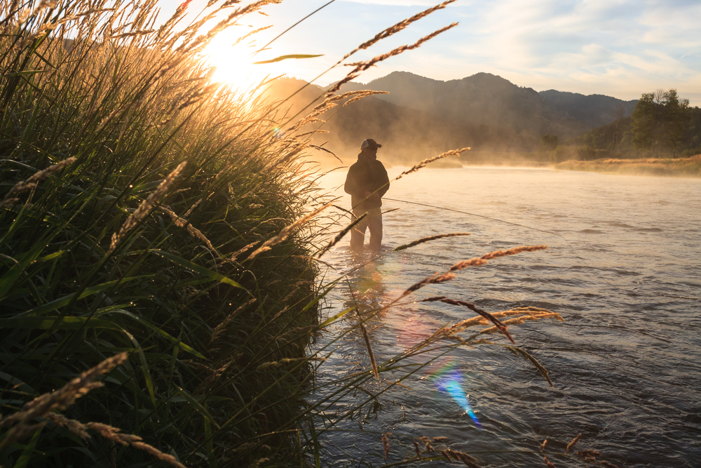
10. Snake River: 1,040 miles (1,674 kilometers)
The Snake River’s name comes from its meandering course.
It rises in the mountains of the Continental Divide in the southwest part of Yellowstone National Park in Wyoming and cuts through Idaho’s Snake River plain. It then passes through Hells Canyon and the Palouse Hills before flowing to the Columbia River.
The river has 20 primary tributaries, which include Salt River, Henry’s Fork, Weiser River, Clearwater River, Boise River, Hoback River, Malad River, Portneuf River, Payette River, Fraser River, and Palouse River.
As the Columbia River’s largest tributary, it serves as a significant irrigation water source for crops like potatoes and sugar beets.
11. Churchill River: 1,000 miles (1,609 kilometers)
The Churchill River originates from Churchill Lake in northwestern Saskatchewan and flows in a generally eastward direction across northern Saskatchewan and Manitoba before emptying into the Hudson Bay at Churchill, Manitoba.
Named after John Churchill, who was the governor of the Hudson’s Bay Company between 1685 and 1691, the river is also known as Missinipi, which means “Great Waters,” among the Cree Native Americans.
The river supplies electricity to Flin Flon, Manitoba’s mining region via a hydroelectric station. Due to the Churchill’s drastic reduction in water flow, fur-bearing animals, waterfowls, shorebirds, and fish populations have seen a decline in their populations.
12. Ohio River: 979 miles (1,575 kilometers)
Flowing from the state of Pennsylvania to the Mississippi River in southern Illinois, the Ohio River forms the boundary of the Midwestern and Southern United States.
It provides the Mississippi River with the most water out of all the tributaries and drains 203,900 square miles of land.
Tributaries of the Ohio River include Big Sandy, Cumberland, Tennessee, Muskingum, Miami, Scioto, and Kanawha
In the past, the river served as a boundary between British towns in Kentucky and Native Americans in Ohio. While the British mostly settled in regions south of the Ohio River, the Native Americans settled north of the river.
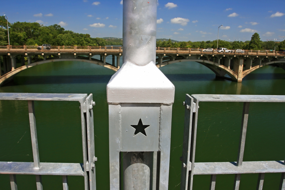
13. Colorado River of Texas: 970 miles (1,560 kilometers)
Not to be confused with the Colorado River, which originates in the state of Colorado, the Texas Colorado River, located in Texas, is one of the longest rivers in the US to start and end in the same state.
It’s long been an important part of Texas’ economy, environment, industry, and agriculture, as well as Texan people’s livelihoods.
Beginning in northwest Texas, the river flows in a southeast direction and empties into the Gulf of Mexico at Matagorda Bay. Throughout its course, it serves as the lifeblood of many communities and ecosystems.
It even flows through downtown Austin, which happens to be the country’s fastest-growing metropolitan area.
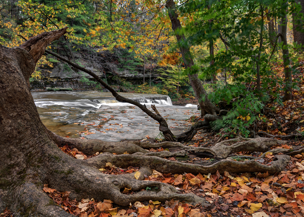
14. Tennessee River: 935 miles (1,504 kilometers)
Formed by the confluence of the Holston and French Broad rivers, the Tennessee River is the Ohio River’s largest tributary.
Its headwaters begin in Knoxville, Tennessee, flowing southwest toward Chattanooga and cutting the Cumberland Plateau into the state of Alabama. From there, it continues on before joining the Ohio River at Paducah, Kentucky.
The Tennessee Valley Authority (TVA) has built 9 dams and locks along the river’s course, including the Fort Loudoun and Watts Bar dams.
Fishing and paddling are very popular pastimes on this river, and people also visit the river to canoe, kayak, and paddleboard across its picturesque waterways.
15. Canadian River: 906 miles (1,458 kilometers)
The Canadian River is the Arkansas River’s largest tributary. It runs through New Mexico, Colorado, Texas, and Oklahoma and has a wide elevation range, from as low as 466 feet to as high as 9,500 feet.
The river begins right above the Colorado-New Mexico border, flowing south into the state of New Mexico before heading east across the state. Then it turns south at Interstate 25, continuing further in that direction.
It runs near the Maxwell National Wildlife Refuge and the Ute Reservoir and passes the Gene Howe Wildlife Management Area before joining the Arkansas River.
People visit the Canadian River for camping, white water rafting, and fishing. In Spring Canyon, visitors can go scuba diving in addition to other water activities.
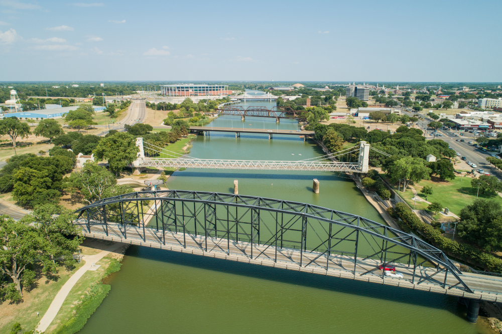
16. Brazos River: 860 miles (1,390 kilometers)
The Brazos River was originally called the Rio de Los Brazos de Dios, which means “The River of the Arms of God,” by Spanish explorers.
It’s the longest river in Texas. Its headwaters begin at the head of Blackwater Draw in Curry County, New Mexico, and the river ends at the Gulf of Mexico.
The river is one of the highlights of downtown Waco, Texas, passing through this city and later through Baylor University as it continues further south.
Athletes swim through its waters for the annual TriWaco triathlon. It’s also a popular spot for fishing (for catfish), and sightseers like to visit this body of water to watch and feed the mud ducks that are found in the river.
17. Fraser River: 854 miles (1,374 kilometers)
Also known as Salmon River, Fraser River is located in Canada’s British Columbia.
The river is home to millions of salmon. These fish are born in the river before swimming out to the ocean. After 4 or 5 years in the ocean, they return to the river, where they spawn and die.
Named after the explorer Simon Fraser, the Fraser River begins in a dripping spring at Fraser Pass in the Canadian Rockies. The river passes through Fraser Valley, which is an expansive lowland valley, and then flows for more than 370 miles in a northerly direction. It’s in this part of the river’s route that the popular Hell’s Gate can be found.
Fraser River, which drains approximately 2,000,000 square feet of land, ends at the Strait of Georgia at Vancouver.
18. North Saskatchewan River: 800 miles (1,288 kilometers)
One of the important tributaries of the Saskatchewan River, the North Saskatchewan River starts at the Saskatchewan Glacier in Banff National Park in the Rockies and empties into Hudson Bay.
Its flow depends on the time of year, reaching its peak in July and its lowest elevation around February.
From the end of the last Ice Age all the way to the mid-1900s, the river served as an important source of transportation.
Today, the river serves as the lifeblood of many of its surrounding communities, but unfortunately, environmental problems abound due to human activity in the region.
Some present-day concerns include increasing contamination of the river, which is due to urbanization and agriculture, and reduced water flow, which is due to decreased winter snowpack caused by global warming.
19. Ottawa River: 790 miles (1,271 kilometers)
The Ottawa River is the chief tributary of the St. Lawrence River.
Starting in the Laurentian Mountains, it flows in a westward direction before turning southeast and forming part of the Ontario-Quebec border.
Traditionally a territory of the Algonquin Native Americans, the Ottawa River served as a primary means of transportation in the fur trade and saw a timber boom in the 1800s.
The Ottawa, which has been an integral part of Canada’s history and economy, has a diversity of ecosystems where many conservation efforts are currently underway.
Besides supporting plant and animal life, the river also supports urban areas in its region, the biggest one being the Ottawa-Gatineau area.
20. Athabasca River: 765 miles (1,231 kilometers)
The Athabasca River is Alberta, Canada’s longest river.
It begins at its source in the Rockies, flowing to the Peace-Athabasca Delta before ending at Lake Athabasca. From there, the water flows for another 2,500 miles or so, eventually emptying into the Arctic Ocean.
Geologic activity over the course of hundreds of millions of years has led to the development of diverse landscapes, unique geological features, impressive water systems, thriving ecological communities, and abundant resources near this river.
The Athabasca River basin, which covers approximately 50,000 square miles of land, includes diverse landscapes ranging from snow-capped mountains to agricultural plains to boreal forests to wetlands and urban centers.
21. Green River: 760 miles (1,230 kilometers)
Traveling through three states (Wyoming, Colorado, and Utah), the Green River, a tributary of the Colorado River, is known for being lengthy, as well as wide during many parts of its course.
Varying in width from 100 feet to 1,500 feet, the river has depths ranging from 3 feet to 50 feet.
Archeological excavations around the river have provided clues about the history of the Fremont people who lived in the region between the 7th and 13 centuries. The Ute and Shoshone tribes are also known to have lived there several centuries after the Fremont.
The river begins in Wyoming’s Bridger-Teton National Forest, traveling north before turning southwest. It passes through Daniel, La Barge, James Town, and Green River before crossing Utah’s state line at the Flaming Gorge National Recreation Area.
After passing through Utah and entering Colorado, it flows through the Dinosaur National Monument and Browns Park National Wildlife Refuge.
It then travels back to Utah before joining the Colorado River.
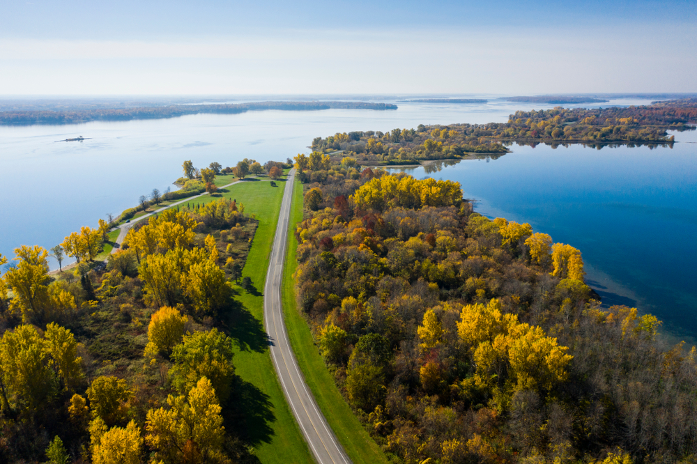
22. St. Lawrence River: 744 miles (1197 kilometers)
The St. Lawrence River is known for being the outflow for all of the Great Lakes, a system that holds 20% of all the fresh water in the world.
The river starts at Lake Ontario and ends at the largest estuary in the world, the Gulf of St. Lawrence. Only 114 of the river’s 744 miles are located in the state of New York.
At its deepest point, the river is 250 feet.
Because it flows through both Canada and the US, the St. Lawrence River provides drinking water to communities on both sides of the river.
The river, which has a discharge rate of 347, 849 cubic feet per second, also contributes to local towns’ tourism-based economy.
23. Pecos River: 730 miles (1,175 kilometers)
One of the Rio Grande’s main tributaries, the Pecos River passes through New Mexico and Texas before emptying into the Rio Grande close to Del Rio, Texas.
Known for its frontier folklore, the river flows through the Pecos Wilderness, entering granite canyons and high-mountain meadows throughout its long journey.
Its headwaters begin near Pecos, New Mexico, flowing through eastern New Mexico and then through Texas before ending at the Rio Grande close to Del Rio.
The river derives its name from the Spanish, who came up with “Pecos” from the Keresan Native Americans’ name of the Pecos Pueblo.
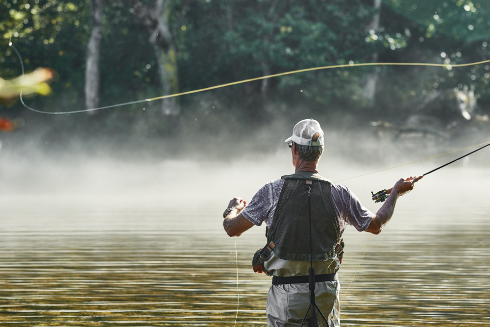
24. White River (Arkansas): 720 miles (1,159 kilometers)
Beginning in northwest Arkansas’ Boston Mountains, the White River flows northward through the southern part of Missouri before returning to Arkansas. There it flows in a southeast direction before joining the Mississippi River.
One of the best places in the world for trout fishing, the White River is also home to bass, catfish, sunfish, and walleye. Due to its abundance of fish, anglers from all over the world visit the river for spearfishing, fly fishing, or fishing from jon boats.
25. James River: 710 miles (1,140 kilometers)
Originating in the Appalachian Mountains, the James River flows for hundreds of miles to the Chesapeake Bay.
Known as America’s “founding river” and the longest river in the state of Virginia, the James River passes through the historic cities of Jamestown and Williamsburg, as well as Richmond, the state’s capital city.
The river was also the site for important battles during the Revolutionary and Civil wars.
One-third of all Virginian people live in the river’s watershed and depend on the river for drinking water, electricity, and commerce.
26. Kuskokwim River: 702 miles (1,130 kilometers)
The Kuskokwim River flows through Southwest Alaska in the US.
It’s the longest river system in the US that starts and ends in the same state.
Formed by the confluence of East Fork Kuskokwim River and North Fork Kuskokwim River, the river flows in a southwest direction into Kuskokwim Bay on the Bering Sea.
Due to its broadness and flatness throughout its course, the Kuskokwim River is often used as a transportation route for watercraft and even road vehicles during the winter months when the river is frozen.
27. Cimarron River: 698 miles (1,123 kilometers)
The Cimarron River originates in northeastern New Mexico, traveling east before flowing into the Canadian River.
It extends for hundreds of miles across the states of New Mexico, Oklahoma, Colorado, and Kansas, with no major cities along the river’s route.
The Cimarron River, which derives its present name from its early Spanish name (Río de Los Carneros Cimarróndrains, which roughly translates to “River of the Wild Sheep”), drains an 18,927-square-mile basin.
28. Cumberland River: 696 miles (1,120 kilometers)
One of the major waterways of the Southern US, the Cumberland River drains approximately 18,000 square miles of the southern part of Kentucky and the north-central part of Tennessee.
It originates in the Appalachian Mountains and ends at its confluence with the Ohio River close to Paducah, Kentucky.
Major tributaries of the Cumberland River include the Caney Fork, Obey, Red, and Stone rivers.
Its basin is mostly rural, but there are large cities, such as Nashville and Clarksville, that are situated along the river.
The river system has been impounded with major dams and developed for flood control.
29. Liard River: 693 miles (1,116 kilometers)
The Liard River, which constitutes part of the North American boreal forest, flows through Canada’s British Columbia, Yukon, and Northwest Territories.
Starting in the Saint Cyr Range of the Pelly Mountains in the southeastern part of Yukon, the river flows in a southeast direction through British Columbia. It then turns northeast back into Yukon and the Northwest Territories before emptying into the Mackenzie River at Fort Simpson, Northwest Territories.
The river drains about 107,000 square miles of muskeg and boreal forest.
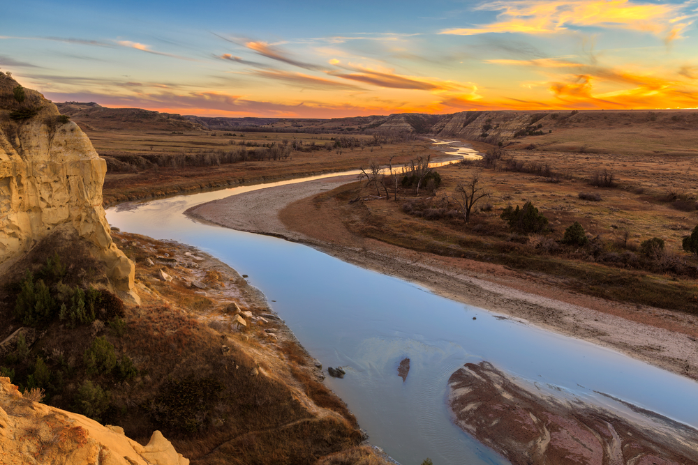
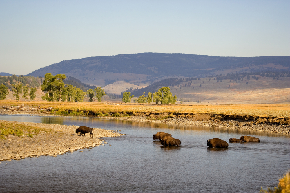
30. Yellowstone River: 678 miles (1,091 kilometers)
A tributary of the Missouri River, the Yellowstone River drains an extensive amount of land, from the Rockies at Yellowstone National Park all the way to the mountains and plains of northern Wyoming and southern Montana.
North of Yellowstone National Park, the river cuts through the awe-inspiring Paradise Valley, where many people flock to enjoy floating, fishing, and other water activities.
Wildlife throughout the river’s corridor includes bald eagles, elk, black and grizzly bears, whitetail deer, cutthroat trout (native to Yellowstone), and more.
The plethora of recreational activities available at the Yellowstone river brings millions of visitors to the region each year, bringing hundreds of millions in revenue.