Southwest Asia, often colloquially referred to as the Middle East, is home to many countries.
These countries include Iraq, Jordan, Azerbaijan, Cyprus, Armenia, Iran, Georgia, Lebanon, Israel, Oman, Palestine and the Israeli Occupied Territories, Syria, Saudi Arabia, Turkey, the United Arab Emirates, and Yemen.
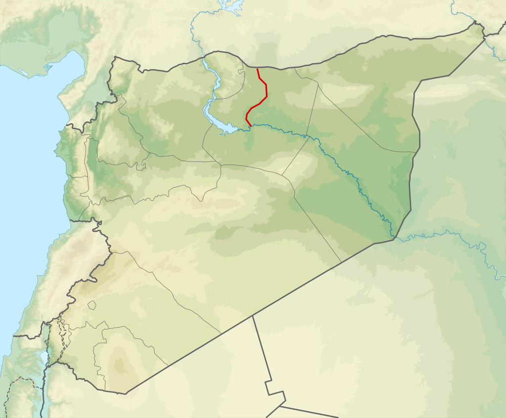
There are many major rivers that flow through this region, such as the famous and celebrated Tigris and Euphrates rivers.
But besides the Tigris-Euphrates river system, there are also the Jordan, Karun, Shatt Al-Arab, and Aras rivers (to name just a few), all significant ecosystems feeding the “cradle of civilization.”
Below you’ll find in-depth information about these major Southwest Asian rivers.
From their physical features (length, tributaries, surrounding terrain, etc.) to their place in human civilization and the natural world, you’ll learn everything you need to know about these wondrous bodies of water.
Table of Contents
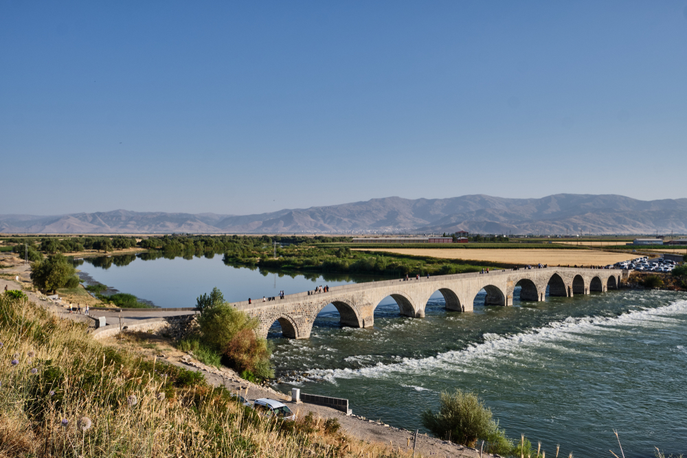
1. Euphrates River: 1,740 miles (2,800 kilometers)
The Euphrates, which is 1,740 miles long, is the longest river in Southwest Asia.
It starts at the Karasu and Murat Rivers, also in the Taurus Mountains in eastern Turkey.
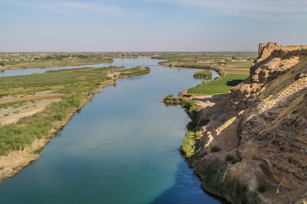
It runs southeast through the countries of northern Syria and Iraq. In Iraq, it joins the Tigris River, creating the Shatt Al-Arab waterway.
The land surrounding the Tigris and Euphrates is dry and hot. But, due to irrigation methods and the plentiful supply of water from the Tigris and Euphrates, farmers can grow crops there.
Although Mesopotamia is no longer the “green,” vegetation-rich region it once was, the Tigris-Euphrates river system still serves as a major source of power and life-sustaining waters, supporting the many people that live in the Fertile Crescent.
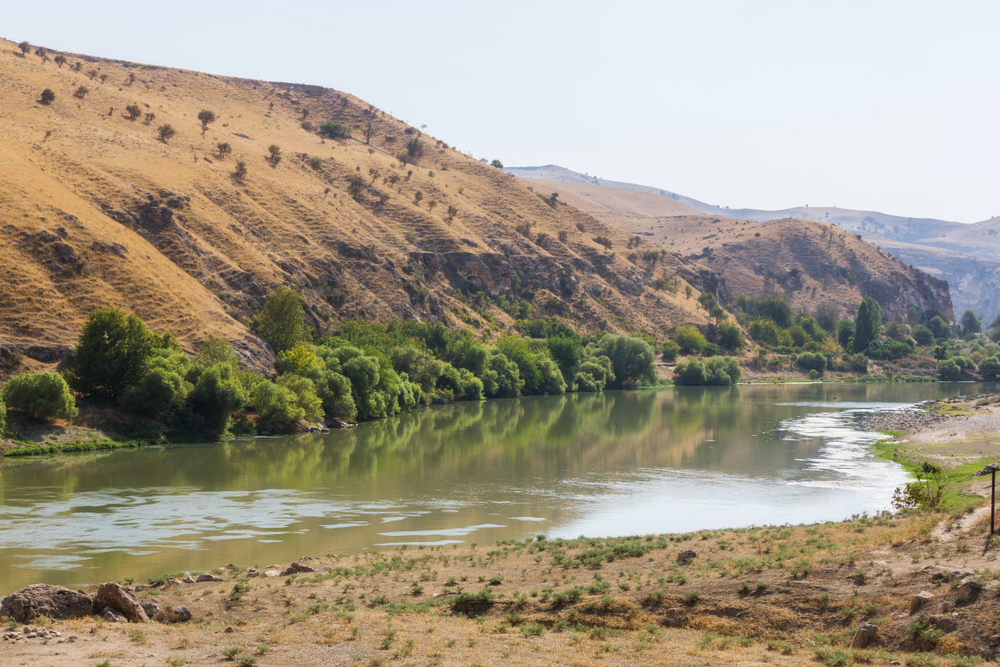
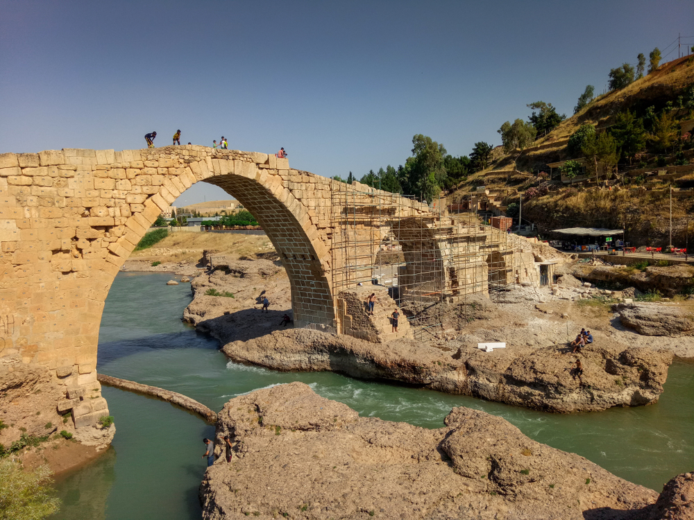
2. Tigris River: 1,180 miles (1,899 kilometers)
The 1,180-mile-long river starts at Lake Hazar in the Taurus Mountains in eastern Turkey and crosses Syria’s northeastern border.
It’s when the Tigris River crosses Iraq that it joins the Euphrates River. Together, they make the Shatt Al-Arab, a waterway that empties into the Persian Gulf.
3. Aras River: 666 miles (1,072 kilometers)
The Aras River is 666 miles long, about 275 miles of which form the boundary between Armenia and Azerbaijan to the north and Iran and Turkey to the south.
Below Armenia’s eastern boundary, the river enters a wide valley before crossing the Mugan Steppe, a plain in northwestern Iran and southern Azerbaijan.
At its end, the river joins Azerbaijan’s Kura River.
4. Karun River: 515 miles (829 kilometers)
A tributary of the Shatt Al-Arab, the Karun River is located in southwestern Iran. It generally flows in a southwestern direction, rising in the Bakhtiari Mountains and following a meandering course.
The river is 515 miles long, although the actual distance from its source at the Zard-Kuh subrange in the Zagros Mountains to its end at the Shatt Al-Arab is only 180 miles.
Its catchment basin is fairly large, with an area of 22,069 square miles, 7,000 miles of which belong to the Dez, its primary tributary. Most of this area is composed of mountainous terrain, creating part of the Zagros Mountains.
5. Murat River: 449 miles (723 kilometers)
Known as the Euphrates River’s main headstream, the Murat River used to be referred to as the Arsanias River.
Rising north of Lake Van, which is near Mount Ararat, the 449-mile-long river flows westward through mountainous terrain.
It ends when it joins the Karasu Çayı, creating the Upper Euphrates.
6. Khabur River: 302 miles (486 kilometers)
One of the main tributaries of the Euphrates River, the Khabur River originates at the karstic springs near Ras al-Ayn in Turkey, flowing southeastward through Syria.
There, it meets its main tributary, known as the Jaghjagh, before heading south to join the Euphrates.
The Khabur, which means “Source of Fertility,” is 302 miles long.
7. Diyala River: 275 miles (443 kilometers)
A key tributary of the Tigris River, the Diyala River rises in the Zagros Mountains in western Iran, flowing westward through lowlands before joining the Tigris below Baghdad.
With a total length of 275 miles, the Diyala drains a significant portion of Iraq and Iran, and for roughly 20 miles it forms the boundary between the two countries.
After that, it runs through a rolling plateau, creating a portion of what is known as Assyria, and flows through the Hamrin Mountains before meeting the Tigris lowlands.
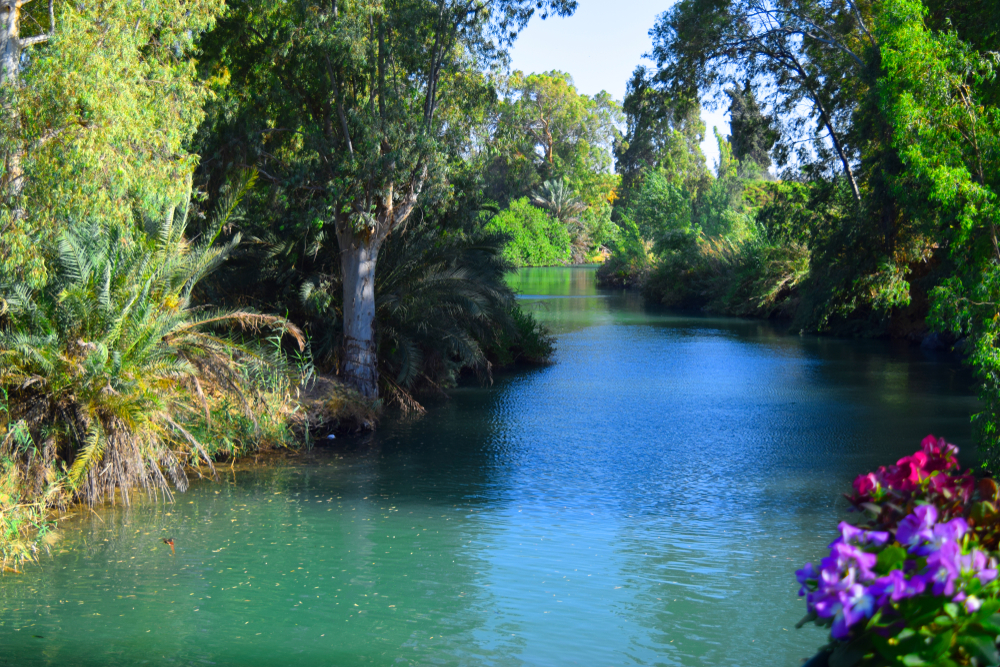
8. Jordan River: 223 miles (359 kilometers)
Flowing south through the Sea of Galilee and emptying into the Dead Sea, the Jordan River is bordered by the country of Jordan and the Golan Heights Border to its east and the country of Israel and the Israeli-occupied West Bank to the west.
Although the river is over 223 miles in length, the actual distance between the river’s sources and endpoint is only 124 miles long because of the river’s meandering course.
The Jordan River is located within a structural depression, making it the lowest elevated river in the world. In fact, the river’s surface level, with an elevation of 1,410 feet below sea level (as of the mid-2010s), is the earth’s lowest land point.
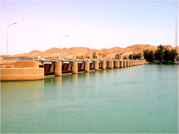
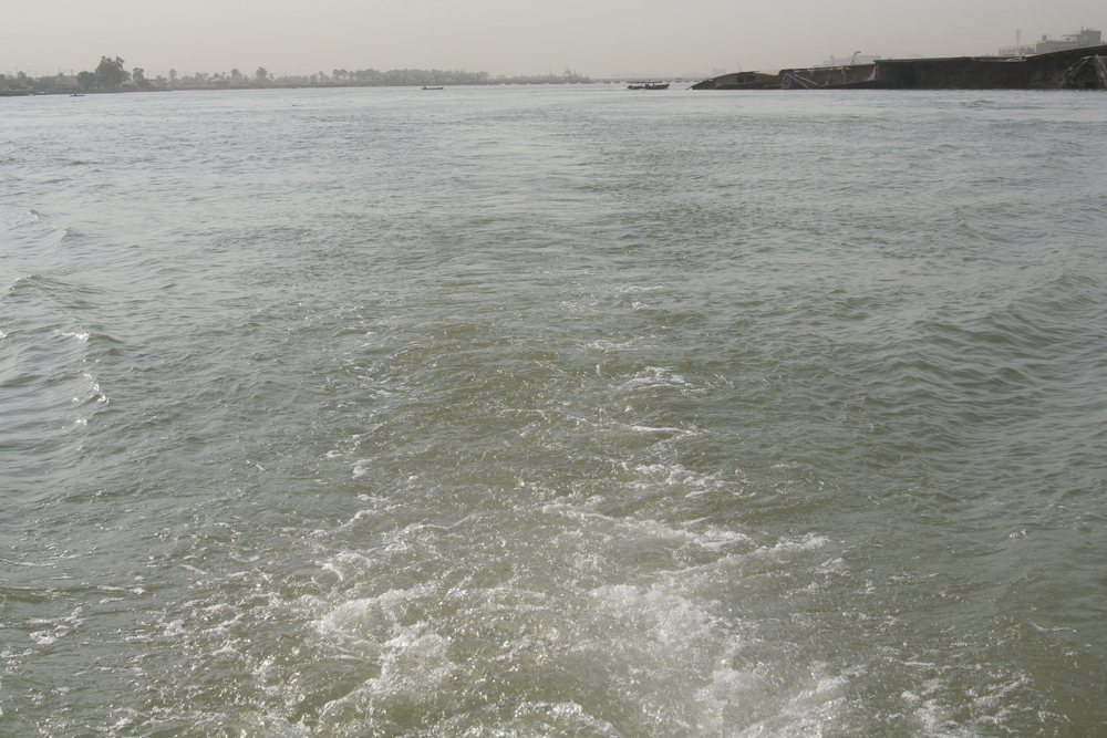
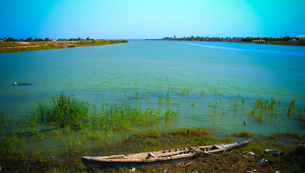
9. Shatt Al-Arab River: 120 miles (193 kilometers)
The Shatt-Al Arab, located in southeastern Iraq, is formed at the junction of the Tigris and Euphrates rivers.
This 120-mile-long river runs southeastward, passing through the Basra port in Iraq and the Abadan port in Iran before finally emptying into the Persian Gulf.
The width of the river grows to around 120 feet at Basra and shrinks back to 0.5 feet at the mouth.
10. Balikh River: 62 miles (100 kilometers)
Image: Wikimedia / Jcwf
The Balikh River starts in the Ain al-Arous spring by Tell Abyad in Syria. It flows southward, eventually joining the Euphrates River in Raqqa, Syria.
The Euphrates’ second-largest river (after the Khabur River), the Balikh River was recently canalized, allowing for transportation and commerce.
Frequently Asked Questions
Why are the Tigris and Euphrates rivers so important?
The Tigris and Euphrates were a source of water and a means of transportation for the people of ancient Mesopotamia, making the growth of civilization in the area possible.
Because it was easier during ancient times to travel by boat than over land, people often opted to travel by boat on the Tigris and Euphrates rivers.
Due to the length of the rivers (1,180 and 1,740 miles, respectively), people were able to travel great distances by boat alone.
The rivers also provided surrounding communities with fertile soil. With this soil, people irrigated and grew a variety of crops, including barley, millet, and emmer.
What are some of the biggest threats to the rivers in Southwest Asia today?
Rapid population and industry growth in cities has led to garbage and sewage build-up in Southwest Asia’s streams and rivers. People in cities lacking proper sewage systems have been known to directly dump their waste into rivers.
This poses a serious problem for the region since the rivers are a major source of drinking water.
Turkey has an advantage over other countries in the region due to its greater freshwater supply (the Tigris and Euphrates rivers meet in this country).
However, even Turkey has lately had to contend with the growing issue of water pollution.
Although dams have been instrumental in storing water, preventing floods, and providing electricity, they’ve also been a source of conflict among countries.
That’s because dams have reduced the amount of water that’s available to countries situated further downstream, exacerbating the already-serious water shortage issue.
How have people/countries addressed the water shortage problem?
On a local scale, some farmers have tapped into fossil water (water that’s been underground for several centuries) to irrigate their crops.
Other farmers have resorted to using very old irrigation tools, such as irrigation ditches and canals, water wheels, and animal power to haul water from wells.
In wealthier countries, more modern irrigation systems have been developed. In Israel and Saudi Arabia, for example, computerized drop irrigation systems have been used to measure the amount of water each plant has been receiving.
Additionally, efforts have been made to extract water from the ocean and desalinate the water for irrigation and drinking.
Despite the effectiveness of desalination (which is the process of filtering salt and other substances from salt water), it’s an extremely costly process that requires the development of complex technology.