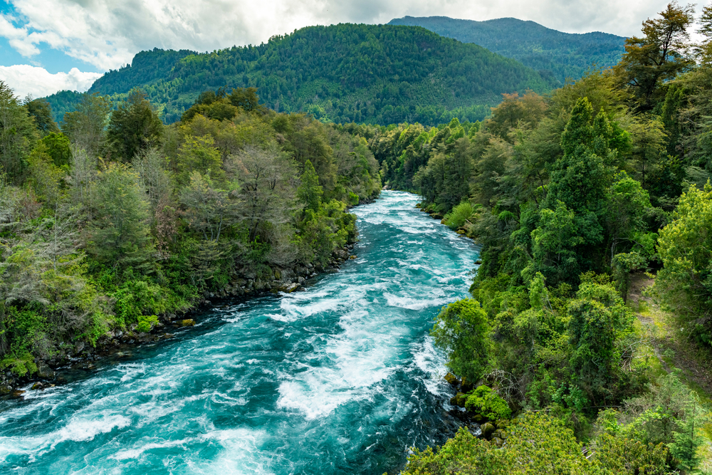
There are several rivers that flow from the Andes Mountains toward the Pacific Ocean. The waters from these rivers are essential to the communities that are dependent on them for drinking and irrigation.
Although most of these rivers cannot be navigated, they still function commercially for purposes such as providing the hydroelectric power that supplies the mines and other nearby countries with electricity.
Although Chile has so many rivers, they are threatened by deforestation and damming. Producing hydropower decreases the amount of water as well as pollutes the rivers the plants are built on.
Although Chile has around 568 rivers, we have narrowed down the list to the 11 most important and beautiful rivers in the country.
Table of Contents
1. The Lao River
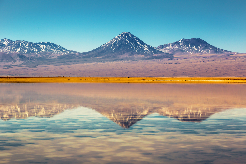
Atacama Desert
This river is the longest in Chile at 440 kilometers (approximately 273 miles). It starts in the Andes Mountain range and winds through the Atacama Desert, finally dumping into the Pacific Ocean.
The Salado River, San Pedro de Inacaliri, and San Salvador Rivers are all tributaries of the Lao River. It serves as a vital source of water for the people living near and around the river.
Several aquatic species call this river home, including fish and shrimp. For this reason, pollution has been a primary concern because it compromises the usage and quality of water.
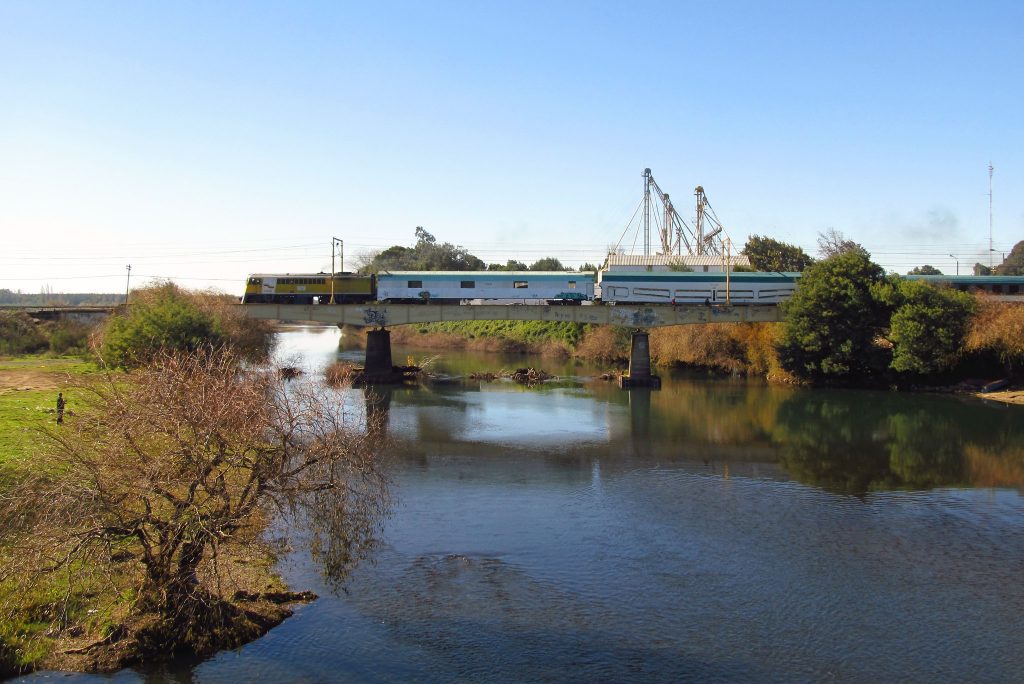
2. The Biobio River
This river is the second-longest river in Chile and covers a distance of 380 kilometers or approximately 236 miles.
Flowing through the Andean Valley, it starts from the Icalma and Galletue lakes before dumping in the Pacific Ocean.
This river is navigable on lower courses with tributaries such as the Tavolevo, Laga, Rele, Bureo, and Malleco rivers. Unfortunately, negative effects created by deforestation have led to the siltation and erosion of its riverbanks.
The building of the Pangue dam has also displaced the Pehuenche people who used to live beside the river.
3. The Maipo River
The Maipo river is 250 kilometers long or about 155 miles and is the third-longest in Chile.
Starting at the Maipo volcano in the Andes Mountain range, this river flows through the Maipo valley and eventually drains into the Pacific Ocean.
The Riverine communities depend on the river as their major source of water and use it for domestic as well as irrigation purposes.
One of the Maipo River’s primary tributaries is the River Mapocho. The building of the AltoMaipo hydroelectric system is a major threat to this river and its communities.
4. The Niblinto River
This river is in the southern part of Central Chile in the Nuble Region. The Niblinto River is a major tributary to the Cato River.
The Niblinto River runs best during the Chilean winter from July to August. It is a class 2 to 3 tributary to the Malleco River.
The Niblinto River is a river of small volume, with water that is crystal-clear. The water streams from Chile’s 9th area are known as the Reserve Nacional Malleco.
The river is surrounded by hills covered in heavy vegetation and native forest land. It is an ideal place to go camping, with several lovely campsites set up along its shores.
A combination of crystal-clear water and forest makes this river an ideal location to visit.
5. Río Amargo
The Rio Amargo is a great river for kayaking, especially in the spring. Make sure, however, you have a strong crew and plan on spending the day setting up safety precautions and scouting.
When kayaking on the Rio Amargo, it is recommended to wear body armor and a full facial mask – the ride can get a little bumpy.
This river in Chile drops into a canyon that has vertical walls. It gets more difficult as the river continues its course. Every seven feet or so the path is marked alongside the river to help kayakers keep track of their location and be aware of difficult areas ahead.
6. Río Renaico
Image: Flickr / Sebastián Betancourt
This river straddles the border amidst the La Araucania and Bio Bio regions in Chile. The Renaico River is known for its length among other things.
It ascends up the Cordillera de Pemehue on the northwest side. Then, it continues north of the Tolhuaca volcano and a spur to the west of the Andes.
The Rio Renaico continues on its upper course and becomes parallel to the Malleco National Reserve on the east and northern borders.
Finally, about seven miles later, the river ends in the City of Renaico. It is here that it combines with the Vergara River.
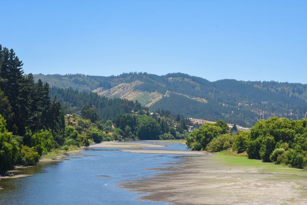
7. The Maule River
This river is one of the most essential of all the rivers in Chile. The Maule River, the Rio Maule, has an inextricable tie to the country prior to the Incas.
It dates back to a pre-colonial period, before the conquest of the country and its later independence.
The southern limitations placed on the Incan Empire are marked by the Maule River. Throughout the history of Chile, there have been several famous women and men born in this region where the Maule flows.
The Maule River has shared its name with an area of Chile called the viticultural region. This is also referred to as the appellations.
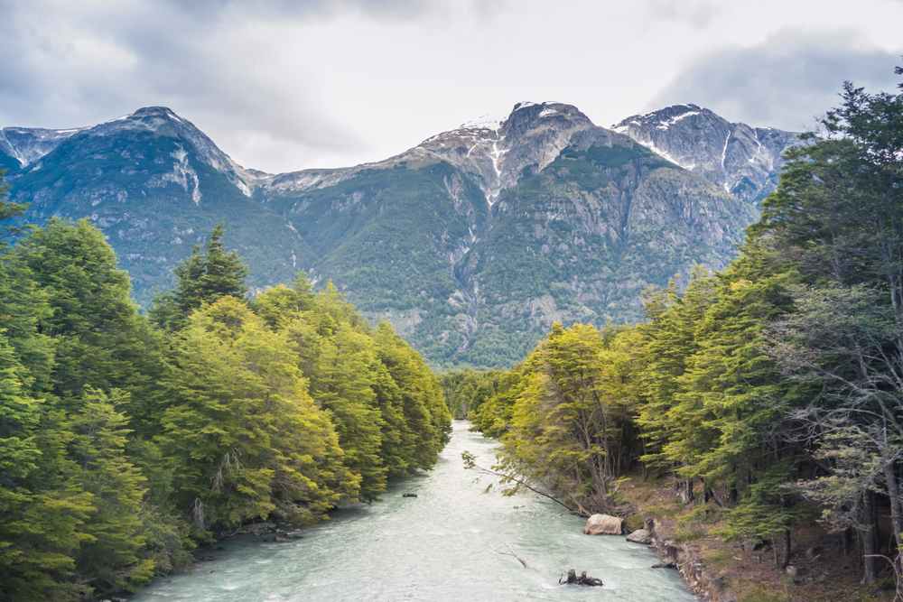
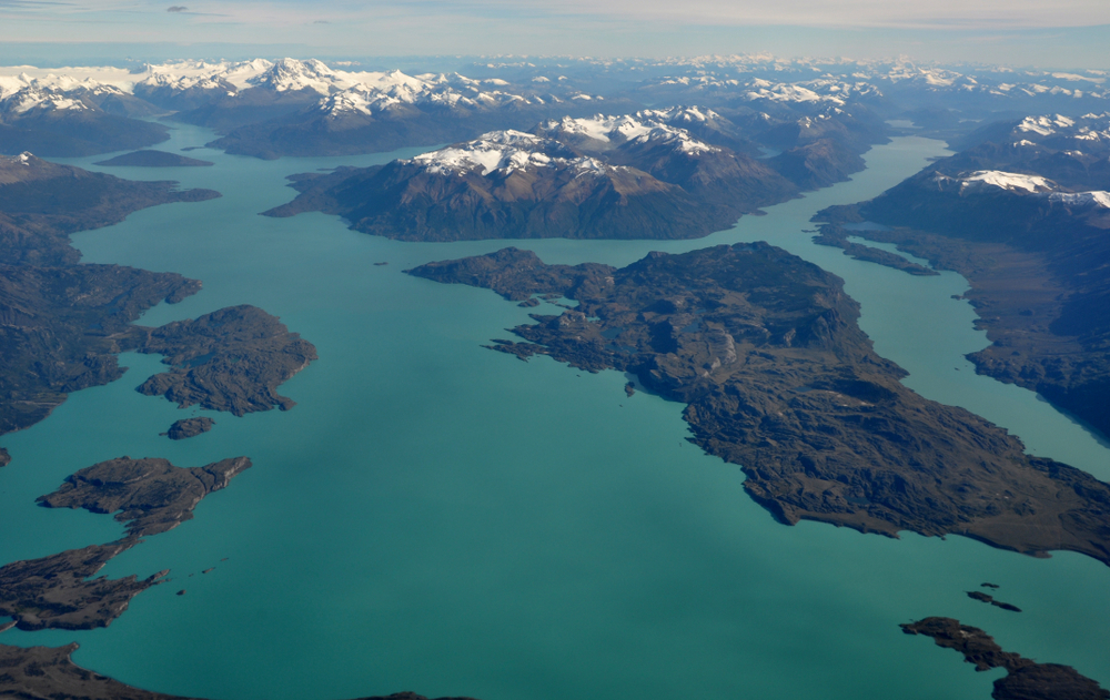
8. The Baker River
This river is part of the Chilean Patagonia, Aysén del General Carlos Ibanez del Campo Región. When measuring water volume, the Baker River is the largest river in Chile.
Its flow exits Bertrand Lake, which is fed by General Carrera Lake. Then, it runs along the eastern edge of the Northern Patagonian Ice Field and finally, close to Caleta Tortel, it dumps into the Pacific Ocean.
The Baker River divides itself into primary arms and forms the shape of a delta. Only the section to the northern region is navigable.
This lake is unique because of its distinguished turquoise-blue water. This distinct coloring is due to a deposit of glacial sediments.
Much controversy has arisen over Baker River regarding a major hydroelectric project – one that has five dams and will become the largest in Chilean history.
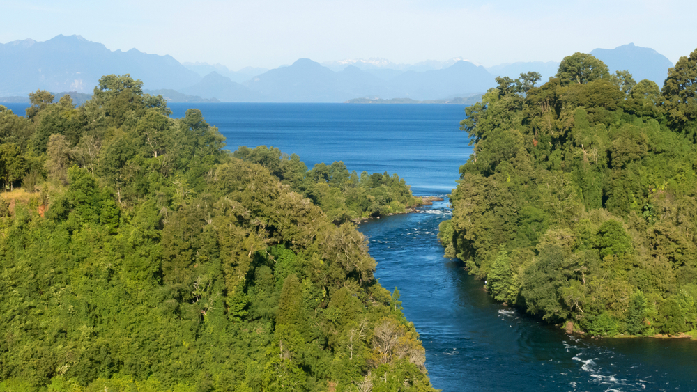
9. The Bueno River
In Southern Chile, you will find the Bueno River. It starts out in the Ranco Lake and, like most all other Chilean rivers, empties out into the Pacific Ocean. The Bueno River empties at the Valdivian Coastal Reserve on its southern border.
The Battle of Rio Bueno took place along the Bueno River’s shores in 1654. It was fought between the local Mapuche-Huilliches and a Spanish slave-hunting expedition.
The Spanish were defeated in this battle, which left their pontoon bridge in ruins and heavy casualties for the Spanish. The Franciscan Mission was founded after this battle, along with a fort that was built beside the river.
The Bueno River is what identifies the northern border of the territory of the indigenous Huilliche, also called Futahuillimapu. It also goes through the commune of Rio Bueno, from which its name derives.
The Bueno River has major tributaries, such as the Rahue and Pilmaiquen Rivers, each connecting to it on the south. The Pilmaiquen is the Puyehue Lake’s outlet, and the Rahue is an outlet of Rupanco Lake.
11. The Pascua River
Lake O’Higgins
This is a river found in Chile’s Aysen del General Carlos Ibanez del Campo Region of Chile.
Despite the fact the Pascua River is short, it has the seventh-largest drainage basin in Chile – a result of its primary source, the O’Higgins/San Martin Lake.
In 1898, the Pascua River was “discovered” by the German explorer, Hans Steffen, around Christmastime.
Although pascua is often associated with Easer, Chilean Spanish often describes Christmas with the word, thus, the origin of the river’s name.
The northwest extension, in the northern region of the river, is Lake O’Higgins. It appears as a small stream, with mountainous steeps over 3,000 feet high. The glaciers on the mountains spill into the river or lake below.
The Pascua River travels for a little over 68 miles before it comes to an end in the form of a wide delta. The river then dumps itself, after rushing through the region previously of rapids, into the Baker Channel.
How Chilean rivers are exploited
An ongoing conflict between the government and locals is the way the rivers in Chile are being exploited. These rivers suffer exploitation due to the construction of hydroelectric energy complexes and damming.
These projects pose a primary threat to the continuity of the rivers as well as make them vulnerable to climate change. Both of these can have devastating effects on the people and habitats that depend on these rivers.
Frequently Asked Questions
How many major rivers are there in Chile?
There are approximately 568 rivers in the Bio Bio Region. Chile has some major rivers that run north to south. These include the Aconcaguaa, Biobio, Maipo, Maule, and Loa rivers.
Most of these rivers are imperative because of the hydroelectric energy and irrigation they provide for the locals. The southern district of Chile is a scenic area that is also home to several major lakes.
Is Chile located on the ocean?
Chile is located in the southern region of South America. It borders the South Pacific Ocean and a small section of the South Atlantic Ocean. Chili has one of the world’s most unusual territorial shapes – it is incredibly long and skinny.
What makes some rivers appear turquoise in color?
When there are a lot of limestones (made up of calcium carbonate) in the water, the process of this rock breaking down forms small crystals. These crystals attract the sunlight, and a beautiful blue color reflects off of them.
How many lakes are there in Chile?
In Chile, there are 12 primary lakes. There are also many more that dot the entire landscape. Chile is home to several lakes, waterfalls, rivers, forests, thermal hot springs, the Andes Mountains, and six volcanos.
What are some major lakes and rivers in Chile?
Here is a list of the largest lakes in Chile:
General Carrera Lake – both Chile and Argentina share this lake
Lake Llanquihue
O’Higgins Lake
Ranco Lake
Presidente Rios Lake
Of the above lakes in Chile, which one is the largest?
In the southern region of Chile is Lake Llanquihue. This is the biggest lake in Chile, along with the neighboring lake of Todos Los Santos. Lake Llanquihue is 330 square miles (or 860 square km).
The length of this lake is 22 miles (35 km), and it is 25 miles wide and 5,000 feet (1,500 miles) deep.
What is the world’s deepest river?
The world’s deepest river is the Congo River. It is 720 feet (or 220 meters) in its deepest sections. This depth is too deep for any light to get through.
According to theNew York Times, the Congo River is also second place in length regarding African rivers. The Congo River is about 2,920 miles long (4,700 km).
What factors change the color of a river?
When a river is exposed to various amounts of algae, pollutants, organic matter, or sediment, it will adapt a certain hue. Some common shades of rivers are yellow, green, and blue.
When algae begin to bloom, it will generally give the river water a greenish tint. An excellent example of a blue-colored river is the Baker River in Chile, which is a brilliant shade of blue caused by glacial sediments.
Another reason for water appearing in different hues is the sunlight. The light is filtered by water in ways that absorb and reflect certain reds and blues.