There is always strong debate about which state is most northerly, southerly, eastern, or westernmost.
Understandably, some states are off the mainland. There are fifty states, and they all have their different unique positions and offerings.
However, which is the northernmost state in the US?
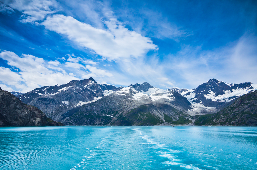
Alaska is the most northern state in America and also has the most westerly point. The North Slope Borough’s center, as well as its biggest city, Utqiavik, was originally known as Barrow.
It can be found a few hundred kilometers above the Arctic Circle.
Let’s take a more pointed look at Alaska and its environs.
Table of Contents
When Did Alaska Become a US State?
Alaska, the 49th state to join the union, is the country’s biggest state by land area and is nestled in the far northwest of the United States.
In 1867, the region was nicknamed “Seward’s Folly” after William Seward, the U.S. Secretary of State, who organized to buy the territory from Russia.
However, the finding of gold there in the 1890s caused a surge of fortune seekers as well as inhabitants, and many of the opponents of the purchase changed their minds.
Aside from that, it is bordered by Canada’s Yukon Territory as well as the Bering Strait, the Pacific Ocean, the Gulf of Alaska, and British Columbia.
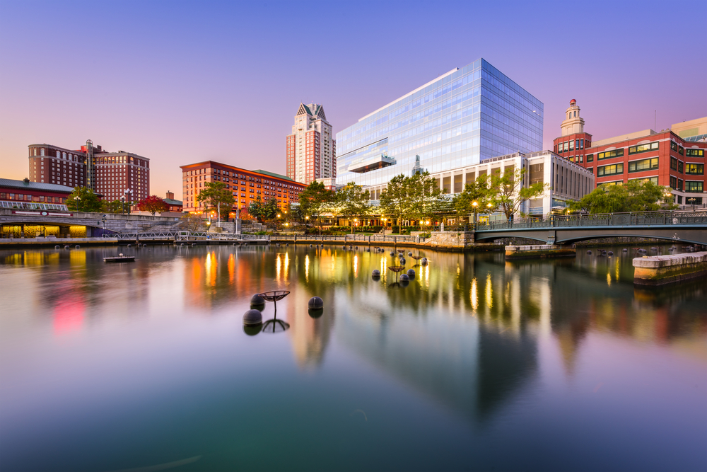
Juneau is the state’s capital.
How big is Alaska?
Alaska has a total area of 664,988 square miles and has a populace of around 710,231. The state is about 2.5 times the size of Texas, making it the largest in the union by a wide margin.
Alaska, on the other hand, seems substantially larger on most two-dimensional maps. In several map projections, Alaska seems to double the dimensions of the bottom 48 states.
However, the continental United States is 4.7 times larger than Alaska.
Where Do Most Alaskans Live?
Kenai Peninsula and Anchorage areas are home to over three-quarters of Alaskans. Colder climates, closeness to the oceans, ice-free ports, along with the production of natural gas and petroleum are all hallmarks of this part of the country.
Alaska’s largest banks and enterprises, along with state and federal entities, have their main offices here, as well as the hub for rail, road, and air transportation across the state.
Over a quarter of Alaskans reside within the Greater Fairbanks region, which includes Delta Junction.
The railway between Fairbanks and Seward ended here, making it historically significant as a center of gold mining.
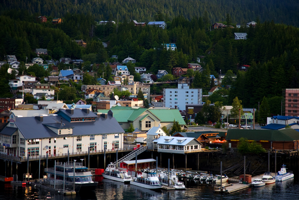
Juneau, Sitka, Petersburg, and Ketchikan are major angling and tourism hubs within the Gulf of Alaska islands.
Also, the archipelago along the southern coastline is home to a sizable share of Alaska’s people.
Why Do Some Maps Show Alaska to Be Larger than the rest of the U.S.?
For the sake of more ideal contour and display, many map projections, including Google’s Mercator, compromise an accurate portrayal of size.
Because of these contortions, we require specific mapping software that would let us move a sketch of Alaska into a two-dimensional diagram, modifying its dimensions and form to make up for the distortions.
Important Facts About Alaska
In 1867, State Secretary William Seward paid $7.2 million for the whole state of Alaska, or approximately two cents per acre, which Russia had held since the late 1700s.
The Japanese seized two Alaskan islands, Kiska and Attu, for more than a year, throughout World War II.
Of the country’s 20 tallest mountains, you’ll find 17 in Alaska. North America’s highest peak, Denali rises to a height of 20,320 feet.
Annually in Alaska, there are over 5,000 earthquakes. In 1964, on March 2, the most powerful earthquake ever to strike in North America struck Prince William Sound.
During the most intense eruption of the twentieth century, the Novarupta Volcano in Katmai National Park created the Ten Thousand Smokes Valley.
A -80°F temperature was recorded in 1971 at Prospect Creek Camp.
If Rhode Island were an Alaskan city, it would fit there more than 400 times.
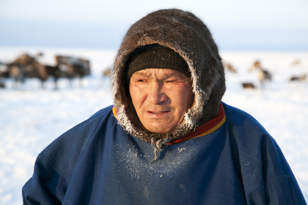
Alaska has been inhabited since at least 10,000 BCE. Migration to East Alaska from Siberia was common during the period because of a land bridge that connected the two regions. In Alaska, the Haida, Tlingit, Yupik, Inuit, Aleuts, and Athabaskans are the only migrant tribes that have stayed behind.
How Vast Is Utqiagvik?
Situated just above the Arctic Circle, it’s among the globe’s northernmost villages and cities as well as the northernmost in the U.S.
As per the U.S. Census, the metropolitan area has a land area of 21 square miles (54 square kilometers), of which 3.0 square miles (7.8 square kilometers) are submerged (14 percent of the whole region).
Up to 1300 feet of permafrost underlies tundra that covers a large portion of Utqiagvik.
Understanding the Utqiagvik Divisions
The state of Alaska’s Petroleum Reserve surrounds Utqiagvik. NARL, Browerville, and Utqiagvik are the names given to the city’s three sectors, which can be categorized as southern, central, and northern.
The Southern Part
Downtown is located in the southernmost area, formerly known as the “Barrow side,” which is the oldest as well as second-largest.
Several schools, from elementary to high school, and Memorial Airport are all located in this neighborhood.
You’ll also come across a city hall police precinct and a Wells Fargo bank along with several residences.
The Central Part
Browerville is the name given to the major area of the center region. The city has always used this region as a residential neighborhood.
However, many new enterprises have recently popped up or relocated here.
A collection of lagoons separates Browerville from the rest of the city, with two dirt roads linking the two sections.
Additionally, there are two supermarkets, a hotel, as well as two eateries in this region.
The Northern Part
Since the Naval Arctic Research Lab used to be located in the northern part, it is the tiniest and most remote of all the sections.
Just Stevenson Street, a roadway comprising two dirt lanes, connects it to the core part.
The federal government switched the NARL site to the North Slope Borough. That move repurposed it as Isaak College.
The college students also manage a minor radio station in this location. Near Utqiagvik, you’ll find Avak, an old crater with a diameter of 8 kilometers (5 miles).
Balancing Conservation and Development in Alaska
Since the dawn of the twentieth century, conservationists have struggled to strike a balance between growth and preservation on vast swaths of land.
Decisions on key issues have had to be made by Alaskans, the state, and the federal government.
Some of these include non-commercial whaling, national parks, and wildlife refuges, Alaska Natives’ property claims, Indigenous peoples, and other related problems.
Alaska’s Most Intense Battles
Conservators and oil firms clashed over the projected Trans-Alaska Pipeline during the late 1900s, which today connects the North Slope of Alaska, rich in oil, with the southern port of Valdez.
The oil spillage that happened on the Exxon Valdez tanker in 1989, which spilled more than 250 thousand barrels of crude into Prince William Sound, sparked a national conversation.
In the 80s, the two sides fought over whether to allow drilling to occur within the Wildlife Refuge area.
For instance, questions over drilling in the state’s Petroleum Reserve situated on the continental shelves of both the Chukchi and the Beaufort Sea continental shelves became a hot-button topic in the early 2000s.
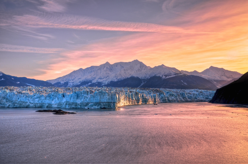
Are There Any Permanently Frozen Places in Alaska?
While the Brooks Range separates the Arctic coastal plain from the North Slope, the North Slope has a semi-permanently frozen terrain and an eight-month-long freeze on the seas, making it a true polar region.
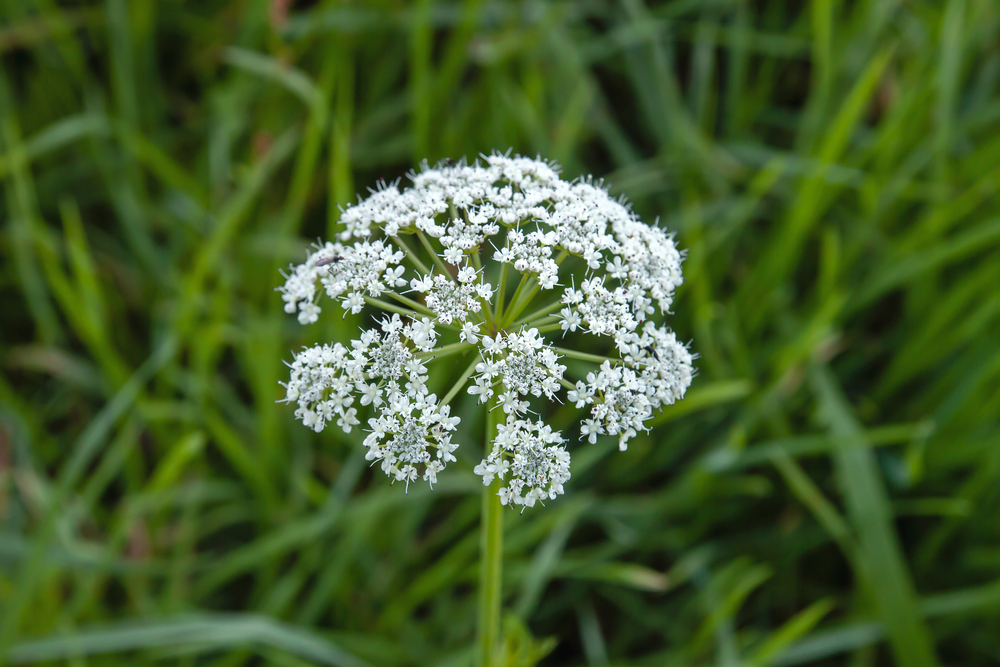
In the summer, the flowers of the arctic-alpine along with grasses bloom in this area, which has no trees.
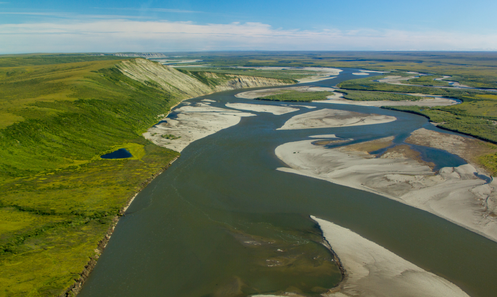
The eastern border of the NPR is bordered by the Colville River, which runs through the heart of the area.
The state of Alaska had originally planned to use the area for oil exploration. To Colville’s east is the National Wildlife Refuge.
Sitting between these reserves is Prudhoe Bay, a major oil-drilling hub.
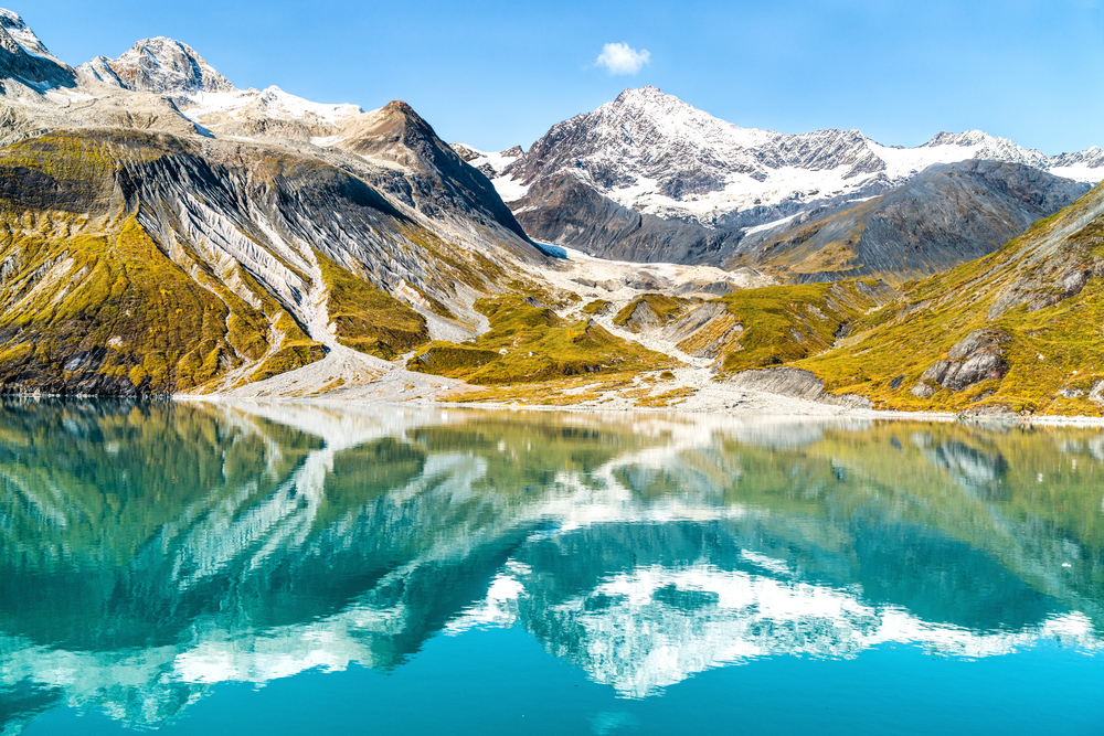
The Climate of Alaska
Ocean currents influence the climate in Alaska, which is recognized for its varying conditions. The Alaska Current flows along the western shores.
As it moves north and west around the southern Aleutian Islands, it transports rather warm Pacific waters.
The Bering Sea is fed by warm ocean currents, which move eastward across the Aleutian Islands’ northern coast.
It is believed that the Aleutian Low formed as a result of warm waters from the Gulf of Alaska interacting with cold waters from the Bering Sea.
But on the other hand, a frigid ocean current flowing westward bathes the Alaskan Arctic coast.
Alaskan Flora and Fauna
Evergreens blanket the southern islands as well as the panhandle, including Alaskan cedar, hemlock, Sitka spruce, and other species.
It is conquered by black and white spruce. This comprises the inner climax forest (a dependable forest population that has adjusted to its normal succession within its environment).
Within the interior, you’ll see a lot of aspen, willow, and birch trees. This unique Arctic maritime habitat is represented by the Bering Sea islands, namely St. Matthew, Pribilof group, Nunivak, and St. Lawrence.
Overwintering populations of sea otters, seals with fur, walrus, and sealions, find refuge on these islands.
Nunivak Island is home to a protected population of musk oxen.
Are There a Lot of Animals in Alaska?
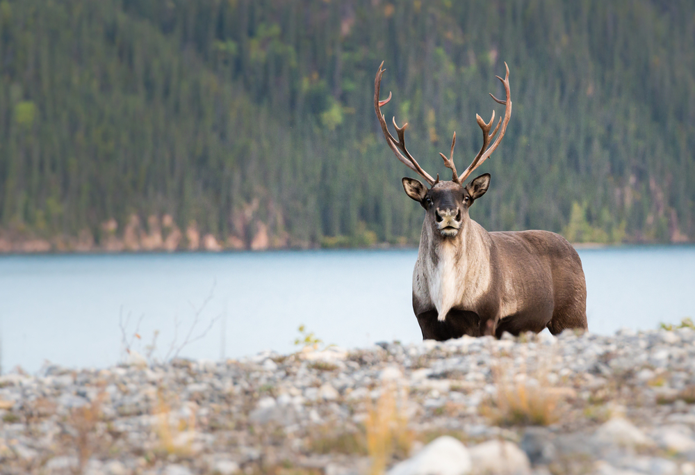
Grizzly and brown bears as well as caribou along with wolves populate the preserve at Denali National Park in the interior of Alaska.
During the summertime, enormous herds of caribou can be found on the North Slope.
To breed, those caribou move to the coastal plains of the Arctic from the southern area of the Brooks Range.
That’s where strong winds keep insects at bay and allow the caribou to observe its main predator, the wolf, from a significant distance.
The coastal and inner Arctic plains are also home to various migrating birds.