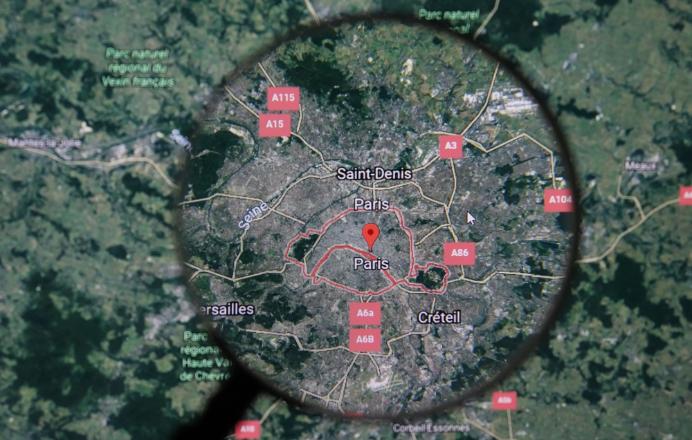
Over the years, the availability of satellite images via Google Earth and Maps has probably elevated the blood pressure of some security professionals.
Some sensitive areas cannot be photographed from the air or by satellite because of restrictions imposed by local legislation; Google receives imagery from commercial or government sources that are pre-blurred.
However, why is Google Earth blurry when I zoom in?
It’s possible to zoom in on Google Earth and get finer resolution imagery as you do so. The margins between pixels are blurred as you zoom in on high-resolution photographs, which is a result of the software.
The photographs appear hazy because they don’t have enough fine detail to make them clear.
Some of the fuzziest areas, especially in distant shots, are merely the result of a dearth of high-quality aerial photographs, according to Google.
This means that “censored” locations may become clearer when Google gets better pictures in future software updates.
Table of Contents
What does Google Earth do?
With Google Earth, you can view a 3D model of the earth created mostly from satellite imagery.
GIS data and satellite photos are superimposed onto a 3D planet, enabling users to view towns and landscapes from different perspectives.
Using a keyboard or mouse, users can access the planet by entering locations and addresses.
You can use a touch screen or even a stylus to explore the app on a tablet or smartphone.
Keyhole Markup Language can be used by users to contribute their data, which can then be uploaded via a variety of means, including discussion boards or blog posts.
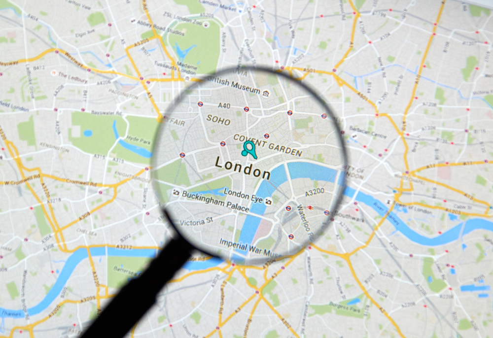
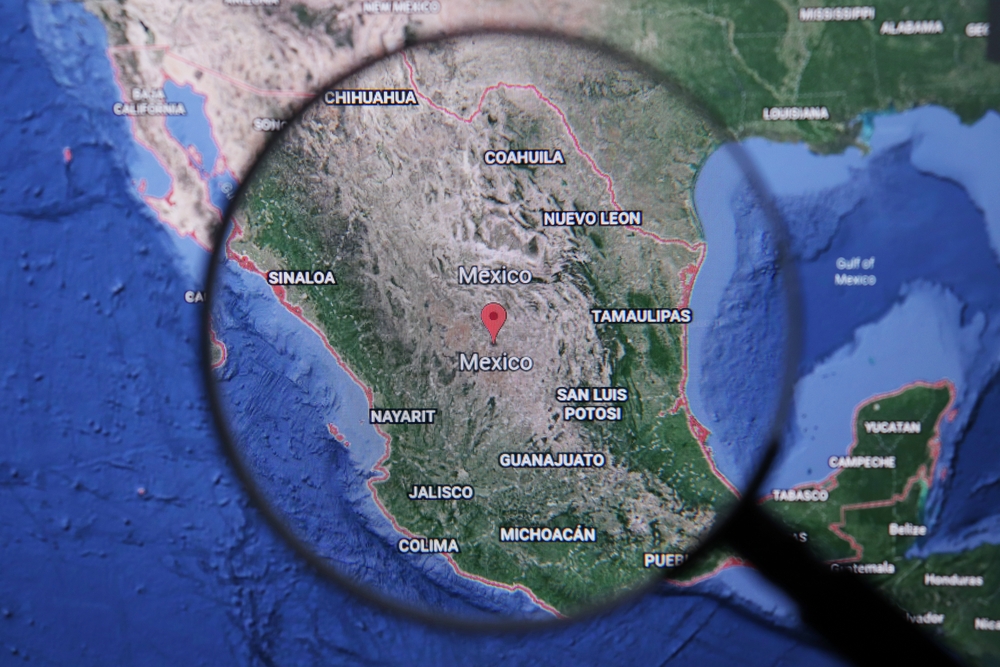
Exactly how much of the world can Google Earth show us?
As a client of the Web Map Service, Google Earth is capable of displaying a variety of images superimposed on the earth’s surface.
Google Earth now contains millions of miles of Google Street View images and spans 98% of the globe’s land surface, according to a 2019 announcement from Google.
Is Google Earth a national security risk for countries across the globe?
At one point or another, governments from throughout the world have asked Google to pixelate photographs of sensitive areas in their nations.
At first, Google cooperated with a few of these demands.
Alternative sources of data and changing rules have allowed Google to slowly remove the cover of many of these once-secretive sites.
Here are three locations that are still hidden from prying eyes on Google Earth, including government buildings, military installations, and industrial sites.
Is there a way to fix the blur on Google Earth?
More than one billion people across the world have used Google Earth, which provides maps, 3-D models, and historical photos of the whole planet.
To maintain the maximum possible resolution, the photographs are on average between one and three years old.
There are several things you could do to improve low-resolution or blurry photos triggered by settings, including cache upgrades.
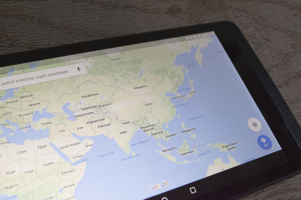
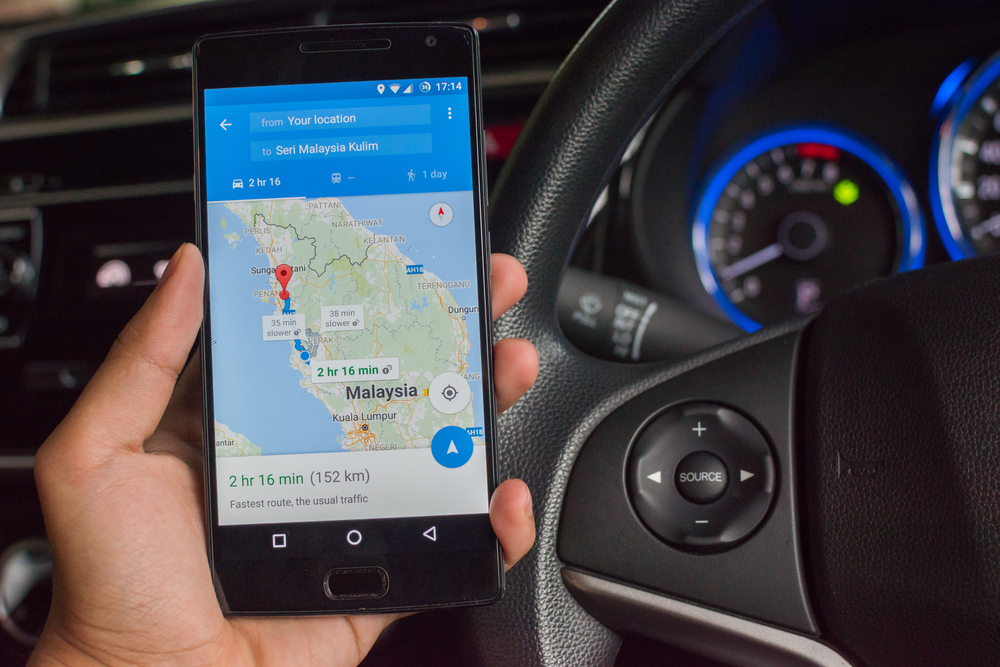
How can Google Maps help resolve my Google Earth issues?
Match your Google Earth image to a Google Maps snapshot of the same area. Choosing “View” and “Historical Imagery” from the drop-down menus on Google Earth will give you the highest quality image.
Alternatively, you can see a more recent image by selecting the clock symbol in the toolbar.
There are times when high-resolution photos are unavailable, or cloud cover obscures them.
What are some of the quickest ways to fix a problem in Google Earth?
There are a few simple modifications you can do if you observe that Google Earth displays a lower-quality image.
The Places Panel’s layering, as well as anisotropic filtering settings, can muddle your photographs, so disable them there completely.
To disable anisotropic screening, go to “Tools,” then “Options,” then “3D View.”
Can clearing my cache make my Google Images clearer?
Cache upgrades may be to blame if the Google Earth image is still smeared. Click “File” then “Server Log Out” to exit Google Earth.
Google Earth’s “Tools,” “Options,” and “Cache” options can be used to clear the cache.
You can check how much data has been downloaded by looking at the bottom of the image.
Browse to the folder on the desktop, substituting “username” with the device’s username, to delete the cache quite forcefully.
Alternatively, you can insert the directory path into the “Start Search” chat box by clicking on the Windows globe.
Remove the “dbCache.dat” as well as “DB cache.data.index” files when Google Earth is still open. Open Google Earth, then log in.
Every data in the cache will be re-downloaded and the cleanest images available will be shown on Google Earth.
How effective is a reinstallation in resolving blurriness in Google Earth?
After cleaning the cache, some people have posted that Google Earth will not boot up. Uninstall and relaunch Google Earth only after physically clearing the cache and if all other options have failed.
The most recent version of Google Earth can be downloaded from the Google Earth site by pressing the “Download Google Earth” option.
Who owned Google Earth’s technology initially?
In the late 1990s, Intrinsic Graphics developed the underlying technology for Google Earth.
At the time, the company was working on 3D game software. 3D software developers produced a spinning globe that could be zoomed into as a demonstration of their 3D software.
The demo was well-received, but Intrinsic’s board of directors decided to keep the company’s focus on games.
As a result, John Hanke, the company’s CEO, founded Keyhole, Inc. in 1999. As a crucial aspect of the technology, Keyhole then invented a method to broadcast vast banks of mapping data to client software through the web, and it bought amalgamations of mapping data via authorities as well as other organizations.
“Keyhole EarthViewer,” a CD-based tool for property investment, urban planning, military, and intelligence, was marketed for an annual subscription cost.
The small entity, despite numerous funding arrangements with Nvidia and Sony, was unable to pay and keep its workforce.
How did the earth map first become widespread?
When CNN agreed to utilize the software for a discount in exchange for displaying the Keyhole logo when the map was shown, the company’s prospects took a turn.
Short, pre-recorded animation segments of up to 10 seconds were all Keyhole expected.
This technology allowed CNN and the millions of people who tuned in to monitor the war’s status in real-time throughout the 2003 Iraq invasion, thanks largely to Miles O’Brien.
Keyhole servers couldn’t keep up with the demand as the software’s popularity soared.
Did the government attempt to acquire earth technology before Google?
The CIA’s In-Q-Tel venture finance business, and their Geospatial entity, immediately approached Keyhole for usage in defense mapping systems, which provided Keyhole with a much-needed funding injection.
Vicarious Visions, the company that bought Intrinsic when its videogame libraries didn’t sell well, transferred the company’s primary group of engineers as well as executives to Keyhole alongside Hanke as CEO.
When was Google’s acquisition of Keyhole completed?
A quarter of Google’s searches at the time were geographic, including queries for maps and driving directions.
Google purchased Keyhole in October 2004 as a strategic instrument to best represent its consumers.
The layer feature of Google Earth was replaced in 2021 by a new one. Certain layers, as well as features, were merged, but others were deleted.
How does Google Earth function?
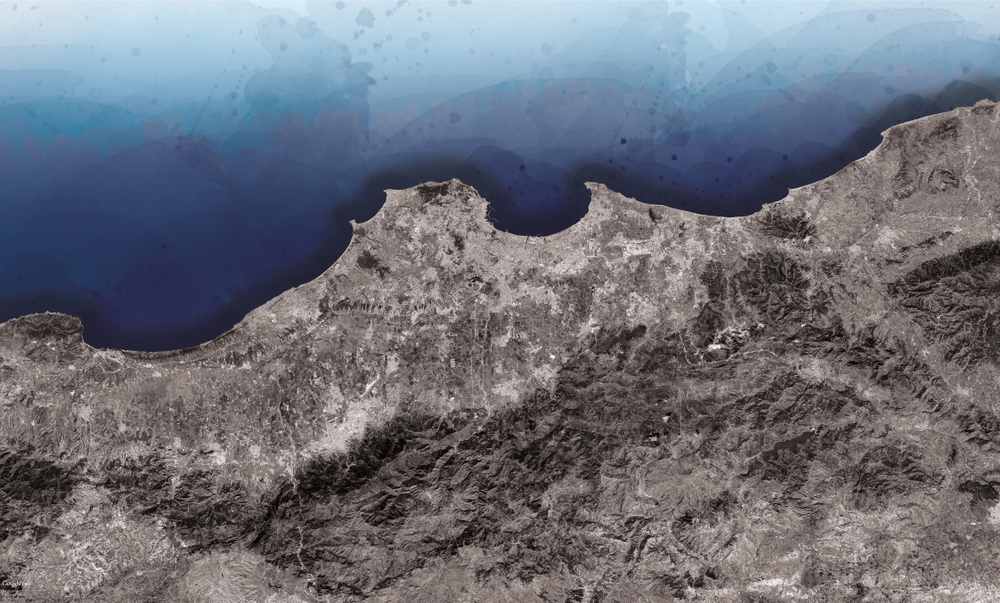
One overlayed image from a long way away shows the surface of the world in Google Earth’s imagery, which is viewed on a computer globe.
Images of the same region are shown in progressively smaller detail as you zoom in further.
The timestamp of each image varies depending on the location. Satellites or planes are used to collect the images.
What caused the initial problems with Google Earth?
Google depended on Landsat 7 imagery before the actual liftoff of NASA as well as the Landsat 8 satellite from USGS that had a technical problem that produced diagonal voids in pictures.
Google utilized data gathering in 2013 to fix the problem. As a replacement for the Blue Marble image, they presented a single huge picture of the overall earth.
Images obtained by Landsat 7 were combined to remove clouds as well as diagonal spaces, generating a single mosaic image that could be used for mapping.
Landsat 8 is now being used by Google to produce better-quality imagery at a higher frequency.
To use the images, you must have an Internet connection to access Google’s servers, where they are stored.
The range for imagery resolution spans between 15 meters and 15 millimeters in length. Much of Google Earth is based on data from the Topography Mission of NASA’s Shuttle Radar, featuring a digital elevation model.
Although the images are two-dimensional, this gives the sense of three-dimensional terrain.
Are Google Earth images copyrighted?
In Google Earth’s defense, the company claims that any image derived from the satellite data provided by Google Earth is a protected work of art.
Data on which Google asserts copyright under U.S. Copyright Law is the basis for any derivative work based on Google Earth.
Aside from non-commercial personal usage of the photographs (e.g., on an individual blog or website), that information is licensed by Google to enable copyright as well as an acknowledgment to be protected.
On the contrary, NASA’s worldwide software WorldWind uses photos from The Blue Marble, Landsat, or USGS that are all freely available to the public.
When was Google’s Street View feature launched?
In mid-2008, with the release of Google Earth version 4.3, Google completed the integration of Street View.
A 360-degree panoramic view of selected municipalities and their environs you may see on Street View.
The images were captured using cameras mounted on moving vehicles, and they can be viewed in a variety of sizes and perspectives, as well as having arrow icons superimposed on them for navigation.
Google Earth users have a plethora of historical landmarks at their fingertips.
Google Earth’s Street View allows users to visit and explore 30 UNESCO world heritage sites, each with a historical context and a pin for each location.
The Great Pyramid, the Taj Mahal, the Sagrada Familia, Great Sphinx, Kew, the Royal Botanic Gardens, the Dolomites are just a few of the places to visit on the itinerary.
Pixar Street View, a collaboration between Walt Disney World and Google, launched in 2019.
A special street view activity at Disney’s Hollywood Studios allowed visitors to look for concealed Toy Story Land Pixar Easter eggs.
When was Google Ocean launched?
As of Google Earth 5.0, the 3D bathymetry of the ocean may be viewed by zooming below the surface and using the Google Ocean feature introduced in 2009.
It features information from some of the world’s most renowned scientists and oceanographers.