In terms of land acreage, Pennsylvania ranks 32nd, with nearly a quarter of it being used for agriculture, according to a Penn State College Community Development report.
Farmland covers almost 7.3 million acres. The USDA categorizes this agricultural land into four parts: grazing land, woodland, cropland, and “other land” for farming purposes.
So, how many acres does Pennsylvania cover?
There are 28.8 million acres in Pennsylvania, according to the Congressional Research Service (CRS).
As of 2012, the federal government-owned 616,896 acres, or 2.14 percent of the total. Non-federal acreage covers more than 28.2 million acres in the state.
Table of Contents
In terms of square kilometers, how big is Pennsylvania?
According to the U.S. Census Bureau, Pennsylvania has an area of 119,283 square kilometers.
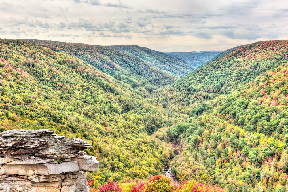
When viewed from above, the state’s terrain seems to be mountainous with many valleys interspersed throughout the landscape.
What kind of land is Pennsylvania located on?
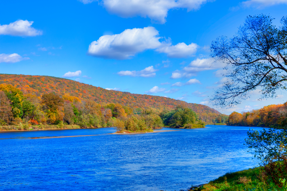
More than 60 percent of Pennsylvania’s territory is covered by woods, and this figure is expected to expand.
In terms of export-quality hardwood production, Pennsylvania tops all other states in the union.
Forest products are the second most popular export item, after food.
How much land does Pennsylvania have set aside for public use?
Pennsylvania has a never-ending supply of green spaces. Over two million acres of public property are safeguarded and set aside for the enjoyment of Pennsylvanians and visitors alike in the Pennsylvania Wilds.
Among the region’s many attractions are 29 state parks, eight state forests, and the only national forest in Pennsylvania, Allegheny National Forest.
The increasing cost of farmlands in Pennsylvania
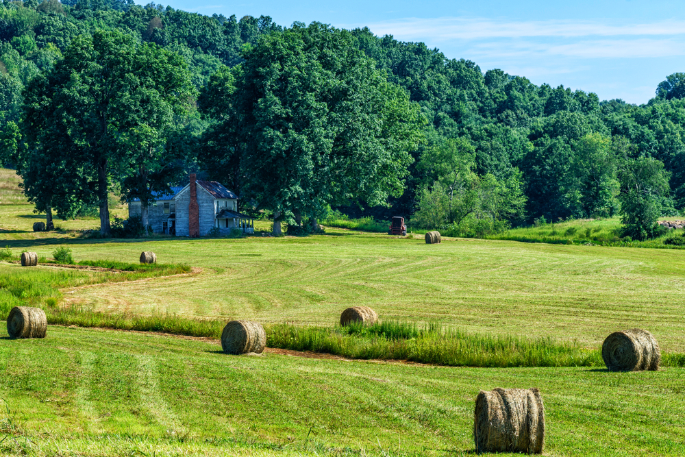
Cropland accounts for around 64% of Pennsylvania’s agricultural land, but as the state’s population grows, analysts fear that farmland will become less cheap and that tensions between farmers and their non-farm neighbors will worsen.
At a time when Pennsylvania’s top farming regions are seeing population development that may cause long-term issues for producers, the number of acres of farmland in the state decreased by 6 percent between 2012 and 2017.
The Center for Economic and Community Development at Penn State’s College of Agricultural Sciences came to this conclusion in the new research.
Agricultural economist Timothy Kelsey reported that in 2017, the state’s total farming acreage was six percent smaller than it had been in the 2012 agri-census.
Are farms decreasing in Pennsylvania?
There was also a 10 percent drop in Pennsylvania’s number of farms at the same time. This implies that some producers who left farming might have just sold their land to other farmers who kept it for farming,” the economist said.
Farmland acreage decreased more slowly than the number of farms because of this possible consolidation.
Philadelphia County’s agricultural land use was nearly zero, while Lancaster County’s agricultural land use was over 65 percent.
Farmers tend to be concentrated in the southern and southeastern parts of Pennsylvania, where population growth has also been strong.
The pressures of population growth on farming in Pennsylvania
There have been significant population pressures on Pennsylvania’s leading agricultural counties in the long term, according to Kelsey.
Increased traffic, increased property taxes, decreased affordability of farmland, and tensions between farmers and their nonfarm counterparts are all consequences of a population increase as well as land development.
A total of 64 percent of Pennsylvania’s acreage was used for crop production last year, making it the state’s most important crop.
From 2012 to 2017, only acreage devoted to crops increased by two percent, the study found.
20% of farmland is woodland, 10% is pastureland, and 6% is “other land,” which includes ponds, roads, barns, houses, and other infrastructure.
Between 2012 and 2017, the total number of acres dedicated to forest, pasture, and “other” agricultural land decreased by 18, 13, and 20 percent, respectively.
The impact of cropland loss statewide in Pennsylvania
Emily Ciganik, an undergraduate research associate in the Center for Economic and Community Development, co-authored a report that found that “most counties’ agricultural land-use patterns were similar to the statewide pattern.
“Pike County, in northeastern Pennsylvania, had nearly 86 percent of its farmland categorized as woodland.”
The paper highlights three USDA-designated land-resource zones, which cross state lines and are centered on climate, soil types, and geographic characteristics that might also affect where various types and sizes of farms exist.
The East and Central Farming and Forest Region cover a large stretch of Pennsylvania, from the southwestern portion to the north-central counties bordering New York.
The majority of this area is situated on the Allegheny Plateau.
Two regions are responsible for most of Pennsylvania’s agricultural production
One Penn University researcher explains that the southeastern portion of the state is part of the Northern Atlantic Slope Diversified Farming Region, which is also known as the “ridge-and-valley” region and encompasses over half the state’s agriculture.
Soil and climate are to blame for 73 percent of the region’s acreage being used for agriculture.
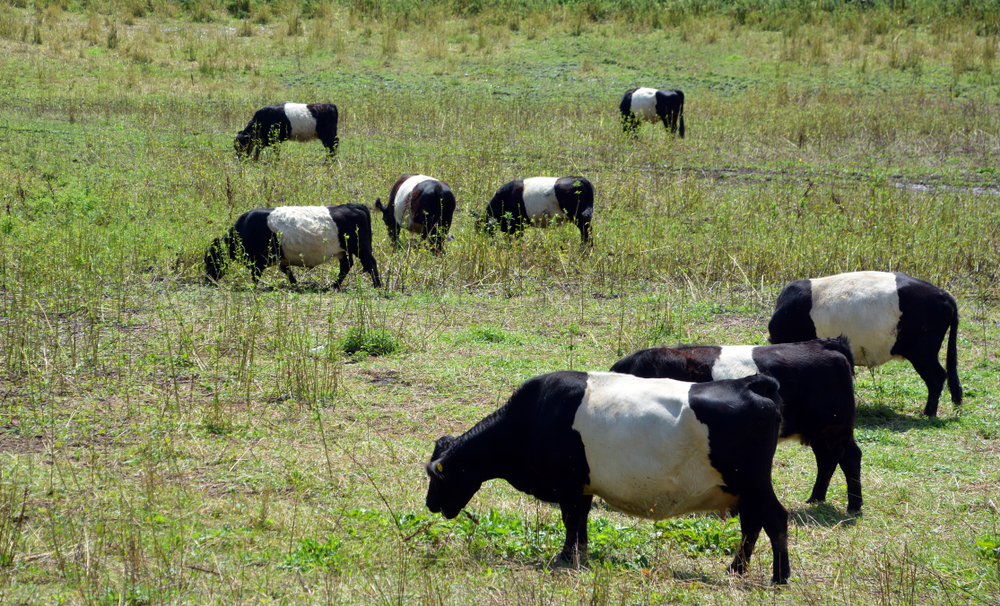
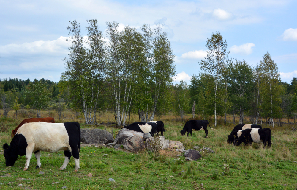
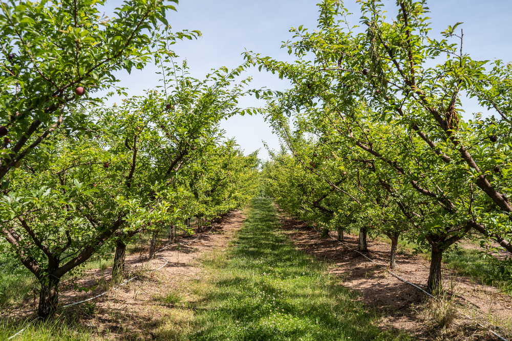
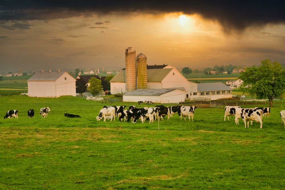
Beef and dairy cattle feed on hay, corn, and soybeans. Apples and peaches also play a significant role in the local economy.
Alyssa Gurklis, a report co-author and Center for Economic and Community Development program and project coordinator, said this region’s propensity for farming also makes it the main generator of Pennsylvania’s agricultural sector.
Farms in this region account for 55% of all farms in the state, which generates 82% of all agricultural sales, she said.
“The East and Central Farming and Forest region, on the other hand, had 25 percent of Pennsylvania’s agricultural acreage but only generated 9 percent of the state’s annual agricultural sales.
Similarly, only 9% of Pennsylvania’s annual fair was produced in the Northeastern Forage and Forest Region, which encompassed 20% of the state’s agricultural acreage.”
What type of forests are found in PA?
Pennsylvania’s southern two-thirds are covered with oak woodlands. Lower slopes of oak woods have a red oak-mixed hardwood type that includes red and white oaks, as well as tuliptree.
The rules governing fishing and hunting in Pennsylvania
Private property dominates the landscape of Pennsylvania. In most cases, hunters have the option of taking game they’ve shot on their private property without permission, or they can ask a landowner for permission to do so.
The state game areas in western Pennsylvania have several lakes and ponds where you can catch warm-water fish like catfish, northern pike, panfish, and bass if you’re willing to explore.
It’s not difficult to get to some of these places because they’re quite well-known.
Exactly how much money does Pennsylvania generate in a year?
With an annual mushroom production of more than 425 million pounds and a value of over $330.7 million, Pennsylvania is the leading U.S. producer.
Pennsylvania’s agriculture relies heavily on forest products. More than 60 percent of Pennsylvania’s territory is covered by woods, and this figure is expected to expand.
The ownership of forest land in Pennsylvania
Commercial forest land in Pennsylvania is owned by an estimated 490,100 private landowners.
As a group, they possess just 8 percent of the privately-owned forest acreage in the United States.
Twenty percent of the privately-owned commercial forest land is owned by another 600 individuals, each of whom owns 1,000 acres or more.
The average size of a private forest is 25 acres. As a result, the average size of land ownership grew to 63 acres.
Between the Southeastern and Allegheny Units, the average size of holdings varies greatly, ranging from 11 acres to 55 acres.
Individual ownership of acreage in Pennsylvania
Private forest property controlled by individuals in Pennsylvania makes up 69 percent of the privately-owned commercial forest land in the United States.
Forest land owned by corporations makes up 18 percent of the total private land in the United States.
Commercial forest land ownership in Pennsylvania
Commercial forest land controlled by partnerships, undivided estates, clubs, and associations makes up the remaining 12 percent of the total land area.
Business owners, executives, professionals, and white-collar employees hold 30 percent of Pennsylvania’s privately owned forest land (2 million acres).
Retired landowners in Pennsylvania
There are a large number of these proprietors in the Allegheny and North Central regions. There are a lot of retired people in Pennsylvania who own a lot of forest acreage.
An estimated 72,100 retirees possess 21 percent of the state’s privately owned forest acreage, according to a recent report.
Nearly half of the forest land is owned by people between the ages of 45 and 64, which is about what one could predict given the age of the forest landowners.
How much land do farmers own in Pennsylvania?
Pennsylvania’s 1.5 million acres of forest land are owned by farmers, who have seen their woodland area decline since 1959 (Gingrich 1978).
Our estimates of the number of farmers who own woodland are based on the primary occupations that respondents to our survey identified.
Owners who are part-time or retired farmers are not included in the “farmer” designation. More than 2 million acres of woodlands are owned by part-time and corporate farmers, respectively.
The population of Pennsylvania
Pennsylvania had approximately 13 million citizens in 2020, making it the fifth-most populated state in the United States.
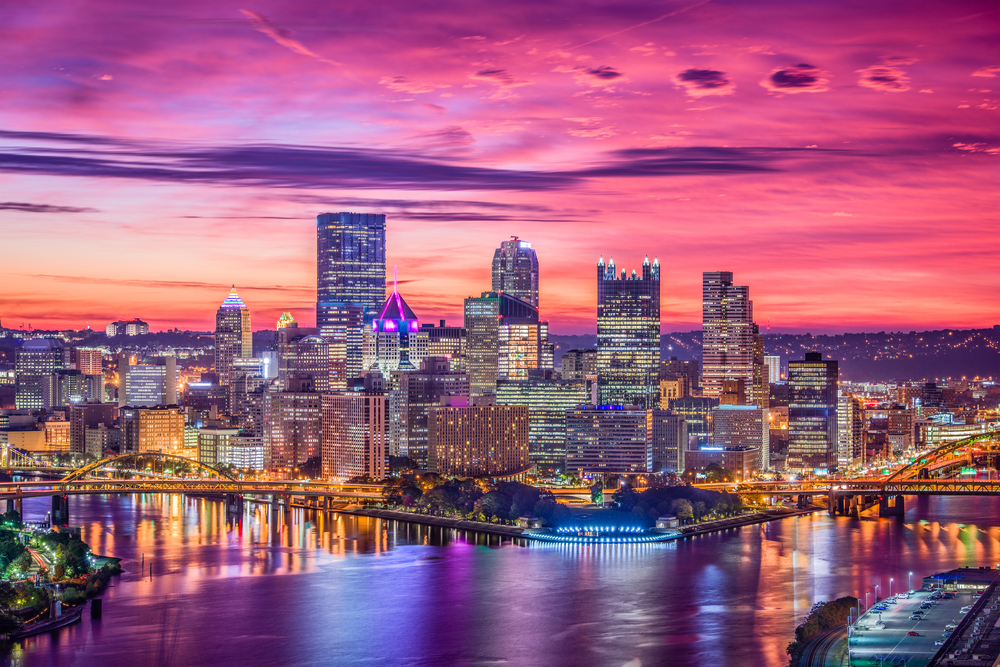
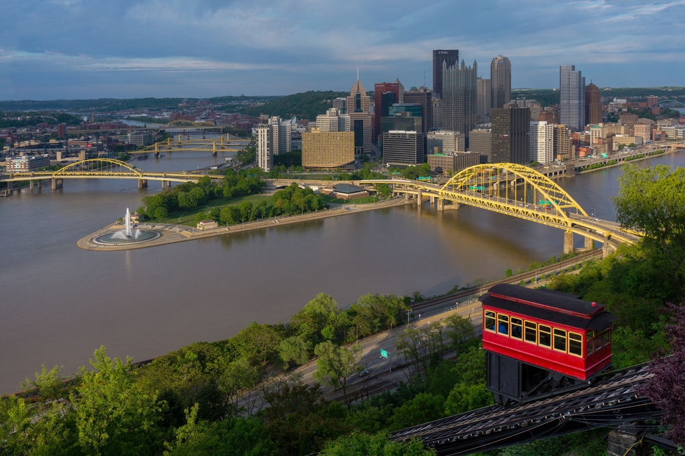
Nearly half of the state’s residents live in the southeast Delaware Valley, centered around Philadelphia (6.25 million), the state’s largest city; another third lives in the southwest, in the Greater Pittsburgh area (2.37 million).
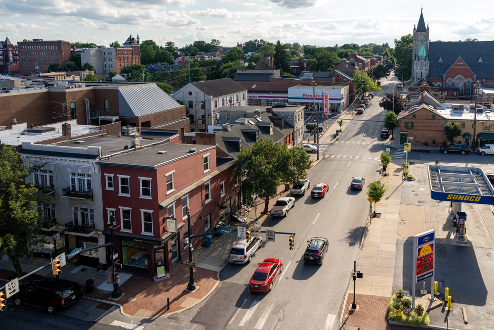
Other major cities in Pennsylvania include Scranton, Erie, Reading, and Allentown. The state capital and 15th-largest city is Harrisburg.
A large portion of Pennsylvania’s northeastern region is covered by the Allegheny and Pocono mountains, and the state’s central Appalachian Mountains run through it.
Nearly 60 percent of the state is forested. Pennsylvania has more navigable rivers than any other state, including the Pine Creek, Ohio, and Delaware rivers, despite only having 140 miles of waterfront along Lake Erie and the Delaware River.
Pennsylvania’s transition from colony to densely populated state
Thirteen colonies from Great Britain were destined to become the United States, and Pennsylvania was one of them.
By a royal land gift to William Penn, a son of the state’s namesake, it was established in 1681; the southeast quarter had previously been a New Sweden colony bearing the same name.
Tolerance for religious and political differences and plurality in administration made the Province of Pennsylvania a standout in the early American colonial era.
The Declaration of Independence and the Constitution of the United States were both drafted at Philadelphia’s Independence Hall.
The city also held the first and second Constitutional Conventions that paved the way for the Revolutionary War.
As of Dec. 12th of 1776, Pennsylvania was the second state to adopt the United States Constitution.