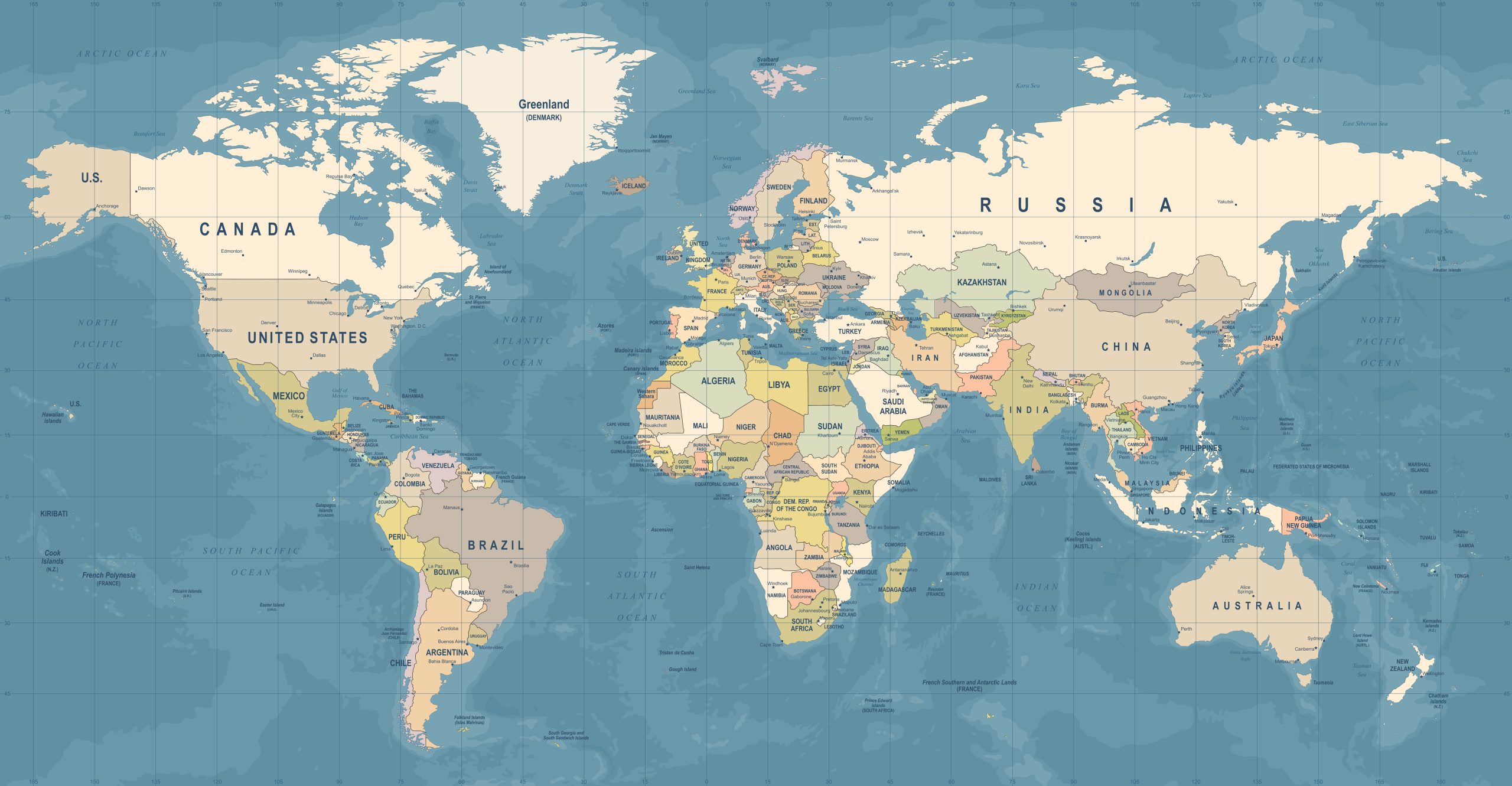
Maps are essential tools available to use digitally and in print. They have evolved a lot over the centuries, and now can be incredibly accurate.
The type of map you’re looking at determines which labeled parts it shows.
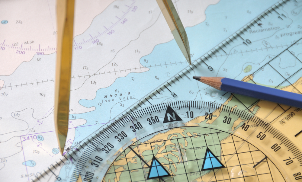
The different parts of a map include the title, compass rose, scale, key, and gridlines.
Table of Contents
How many parts of a map are there?
There are many different parts to a map, but the six essential elements are title, legend or key, compass rose, scale, latitude and longitude, and the data.
Maps use symbols and illustrations to provide visual representations of places and things. The mapmaker – or cartographer – will use their expertise to depict information in a readable and accurate way.
First Things First: The Title
At the top of the map usually is a descriptor so you can have the context to know what you are looking at.
This is the map’s title. The title is typically located in the top left or top right corner of the map and contains the name of the place or thing being mapped.
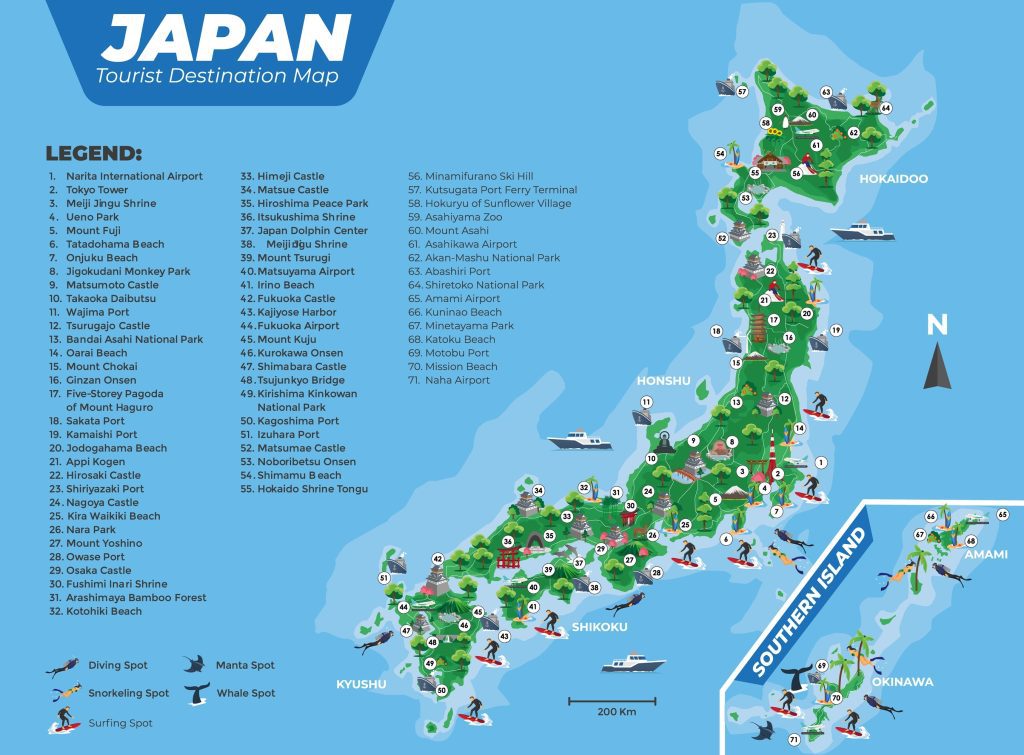
Legend or Key
The legend or key is usually located in the bottom right or left corner of the map. It contains all the symbols that are used on the map and their corresponding meanings.
This is important because it allows you to decipher what each symbol represents. The key might also include scale, which tells you how large or small something is in relation to real life.
What are some symbols you might see in a key?
Some symbols you might see in the key are:
A star might represent the capital of a country
A closed circle might represent a town or city
A triangle might represent a mountain peak
A squiggly line might represent a river
A triangle might represent a mountain
A dot might represent a small town
A line with arrows on both ends might represent a highway
A blue line might represent a coastline
Scale
Scale is located in the bottom right corner of the map, and it tells you how large or small something is in relation to real life.
This will come in handy when deciphering what different symbols on the map represent. For example, if a star is used to designate the capital of a country on the map, you can use the scale to measure just how large that country is.
Scale is useful if you are traveling, and you are trying to determine the distance you will travel.
It also helps you put into perspective the size and distance of things
What are some examples of scale?
Some examples of scale are:
1:24,000 means that 1 unit on the map equals 24,000 units in real life
1:50,000 means that 1 unit on the map equals 50,000 units in real life
1:63,360 means that 1 unit on the map equals 63,360 units in real life
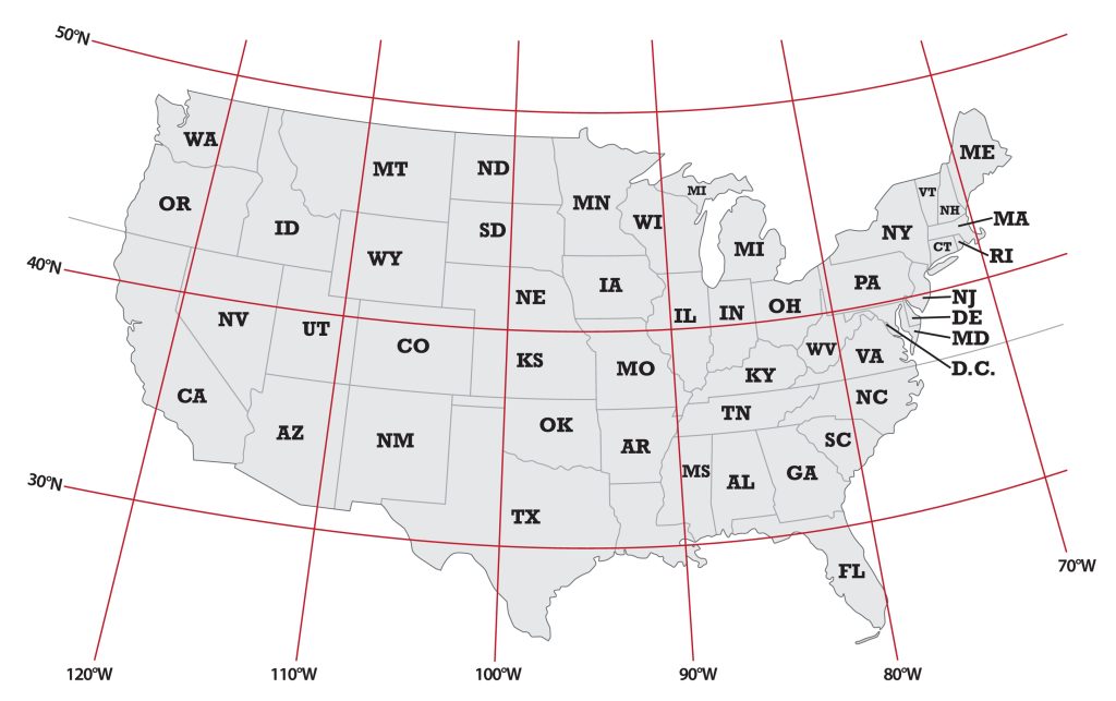
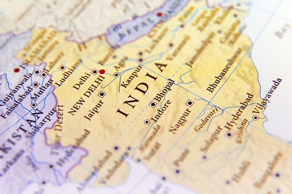
Latitude and Longitude
Latitude and longitude are two types of coordinates used to pinpoint a specific location on the map.
Latitude is a measure of how far north or south of the equator a location is and is measured in degrees.
Longitude is a measure of how far east or west of the prime meridian a location is and is also measured in degrees.
Coordinates can be written in two different ways:
-Degrees, minutes, seconds (41°24’12” N 2°10’26” E)
-Decimal degrees (41.403333, 2.173889)
How are Coordinates Written?
There are two ways to write coordinates:
-Degrees, minutes, seconds (41°24’12” N 2°10’26” E)
-Decimal degrees (41.403333, 2.173889)
Data
The data located at the bottom of the map usually tells you what type of map it is. For example, if the data says, “Topographic Map”, that means the map shows elevation changes in the landscape.
If the data says, “Administrative Boundaries”, that means the map contains information about political boundaries such as states or countries.
What does the data at the bottom of a map tell you?
The data at the bottom of the map usually tells you what type of map it is. For example, if the data says, “Topographic Map,” that means the map shows elevation changes in the landscape.
If the data says, “Administrative Boundaries,” that means the map contains information about political boundaries such as states or countries.
How is color used symbolically on a map?
Color is often used symbolically in a map to represent different features. For example, green might be used to represent vegetation, blue might be used to represent water, and brown might be used to represent land.
This can help you understand the map better and make it easier to decipher what different symbols mean.
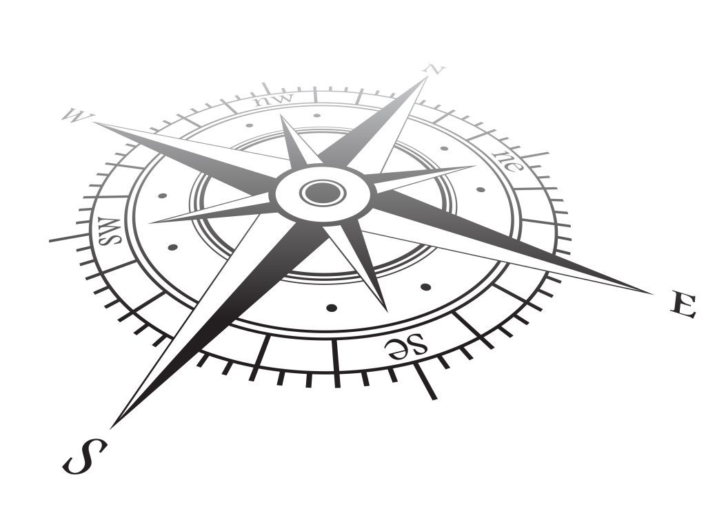
Compass Rose: Finding Your Way
The compass rose is usually located in the bottom right corner of the map and provides cardinal directions.
North, South, East, and West are typically represented by the initials N, S, E, W. The compass rose can also show intermediate directions, such as Northeast (NE) or Southwest (SW).
These intermediate directions are important because they help you orient yourself when looking at the map.
Why is it called a compass rose?
The compass rose gets its name because it looks like a rose, with petals pointing in all different directions.
What are cardinal directions?
Cardinal directions are the four main directions: North, South, East, and West.
What are intermediate directions?
Intermediate directions are directional terms that fall between cardinal directions. For example, Northeast (NE) is an intermediate direction between North and East, while Southwest (SW) is an intermediate direction between South and West.
How do you orient yourself when looking at a map?
Orienting yourself when looking at a map means figuring out which direction you are facing relative to the map.
To do this, you use the compass rose to find your cardinal directions and then use the map to find your location.
Once you know your location, you can orient yourself by turning the map until it matches the physical world around you.
What is a directional arrow?
A directional arrow is a small, usually blue, arrow that points in the direction you are supposed to be heading.
Directional arrows are found on most maps and are helpful when following a specific route.
Why is it important to know your location?
It’s important to know your location because it allows you to orient yourself relative to the map.
Once you know your location, you can figure out which direction you are facing and which way you need to go in order to reach your destination.
What are some other parts of a map?
Other parts of a map might include:
Gridlines: which help you locate places on the map
Gridlines are used with urban maps to explore streets and roads.
How are gridlines used?
By knowing the gridlines, you can pinpoint your exact location on the map.
Insets
An inset provides additional information relevant to comprehending the map. It typically contains the frame, scale bar, north arrow, and copyright information.
The inset may be placed anywhere on the map except over another inset or legend.
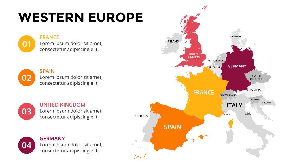
Types of Maps
For example, if you’re looking at a geographical map, the key and features it shows will differ from a road map.
A road map would show different labels than a topographical map.
There are different types of maps for different purposes, and each has its own unique benefits.
Whether you’re looking for directions, trying to learn more about the terrain around you, or just want to explore somewhere new, there’s a map that can help.
What is a road map?
A road map is a type of map that shows roads and other transportation features, as well as settlements and other points of interest.
They are used to help drivers navigate from one location to another. Road maps typically use a standard scale, so it’s easy to compare the distances between different locations.
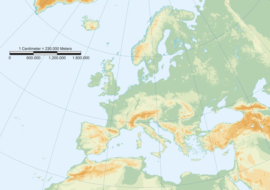
What is a topographical map?
A topographical map is a type of map that shows the natural features of an area, such as its relief (elevation), as well as man-made features like roads and buildings.
They are often used by hikers and other outdoor enthusiasts to help plan their routes and get an idea of the terrain they’ll be dealing with.
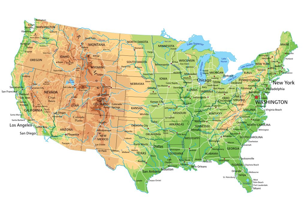
What is a geographic map?
A geographic map is a type of map that shows the physical features of an area, such as mountains, rivers, and lakes.
They are often used by scientists and other researchers to study the Earth’s surface.
What is a satellite imagery map?
A satellite imagery map is a type of map that uses aerial imagery to show the features of an area.
This type of map is useful for seeing changes in an area over time, such as how a city has developed or how a natural disaster has affected a region.
What is a historical map?
A historical map is a type of map that shows an area at a specific point in time. They can be used to study the history of an area or to see how it has changed over time.
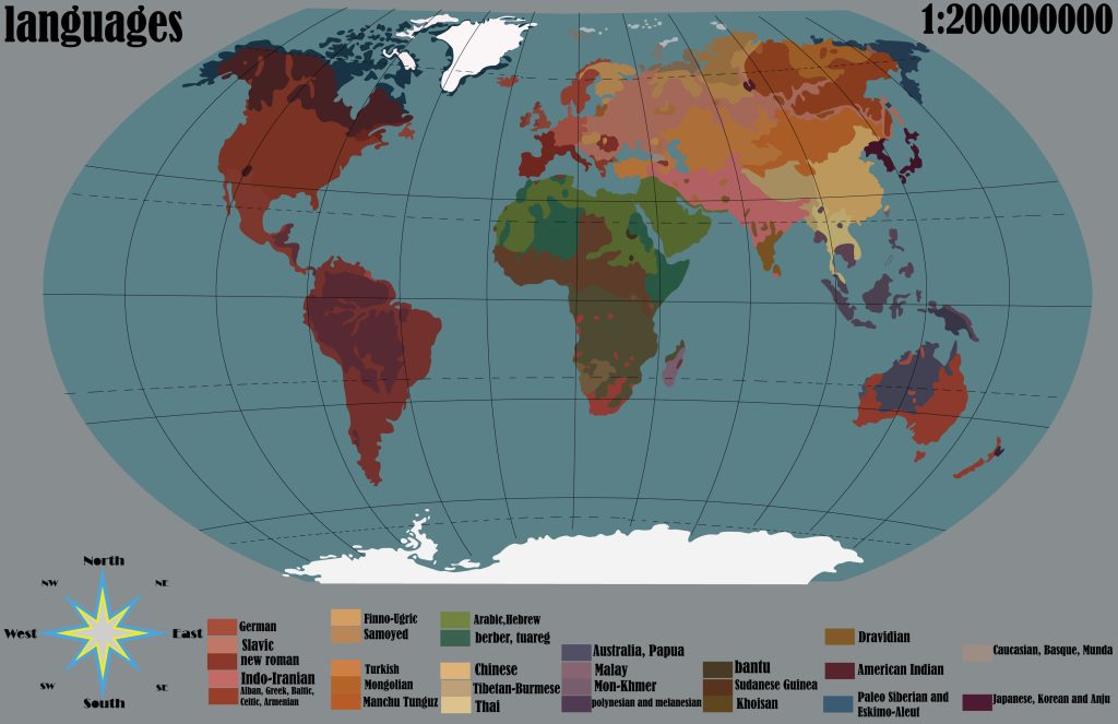
What is a thematic map?
A thematic map is a type of map that shows data about a specific subject or theme. For example, a thematic map might show the population density of an area or the types of crops grown in a region.
This type of map can be used to help visualize data and understand trends.
As you can see, there are many different types of maps available for different purposes. Whether you’re looking for directions, trying to learn more about the terrain around you, or just want to explore somewhere