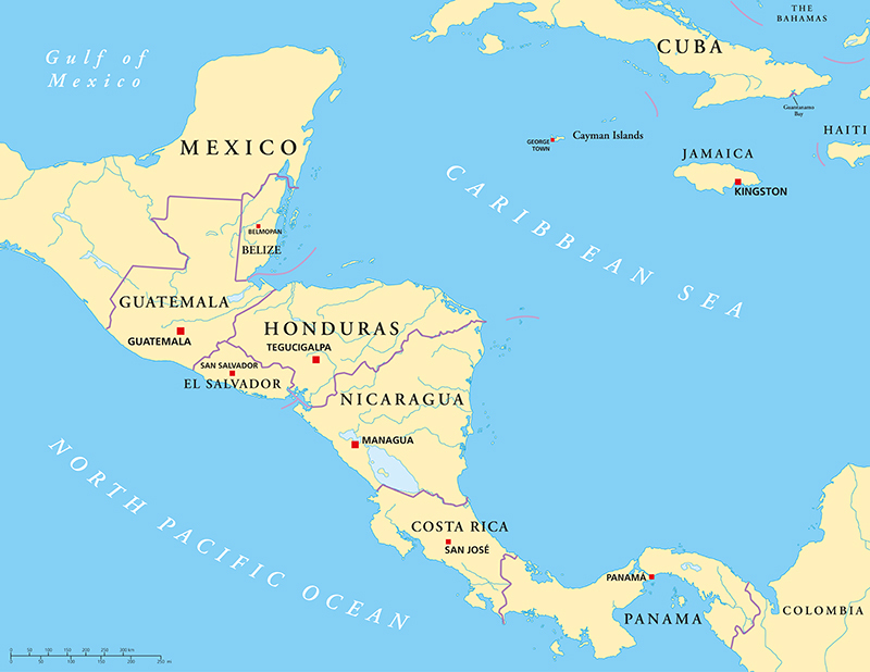
Consisting of 7 countries and an estimated population of 180 million people, Central America is rich in history, culture, biodiversity, and natural resources.
Although “Central America” can mean different things to different people, people agree that this region of the Americas is bristling with life and beauty.
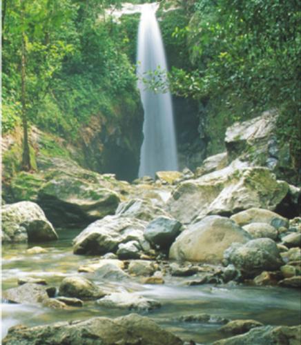
This is largely due to the region’s natural environment, which consists of breathtaking landscapes, mountains, lakes, and rivers – not to mention the abundant wildlife.
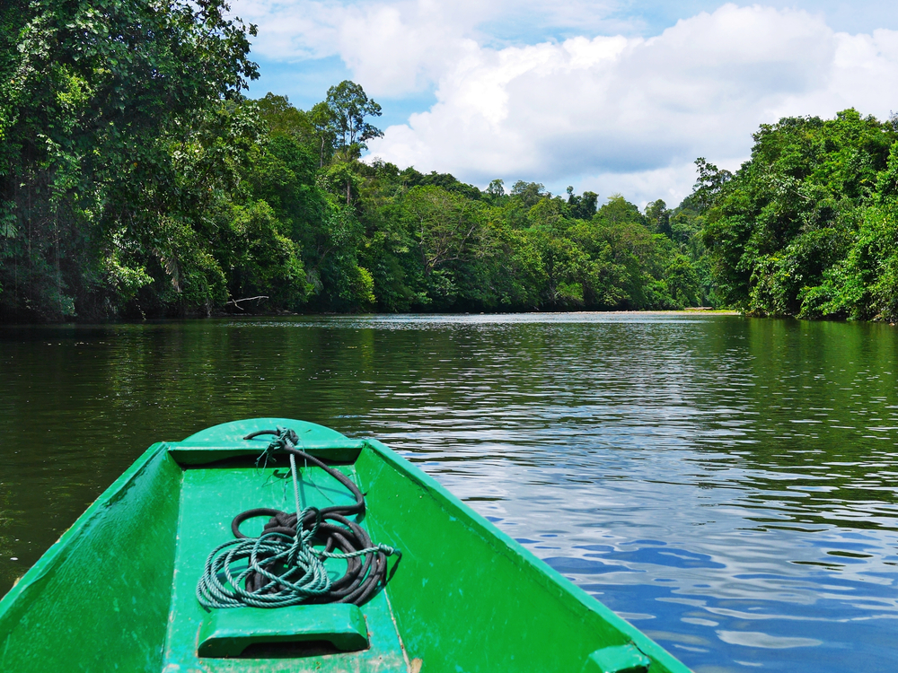
Rivers make up an important part of the fabric of Central America, contributing to the health of the ecosystems, animals, and human communities that call this region home.
They even play an important role in the global economy, irrigating crops, serving as a means of transportation, and contributing to global trade and commerce.
Here are the 15 longest rivers in Central America (which, by the way, are only a fraction of the rivers that are important to the Central American region).
Table of Contents
The Longest Rivers in Central America
Number
River
Length (miles)
Length (kilometers)
1
Paraná River
3,030
4,880
2
Usumacinta River
621
999
3
Coco River
523
842
4
Atrato River
466
750
5
Patuca River
311
501
6
Motagua River
302
486
7
Río Grande de Matagalpa
267
430
8
Lempa River
262
422
9
Choluteca River
217
349
10
Aguán River
149
240
11
Ulúa River
149
240
12
Chucunaque River
144
144
13
Tuira River
143
230
14
Chepo River
128
206
15
Chamelecón River
124
200
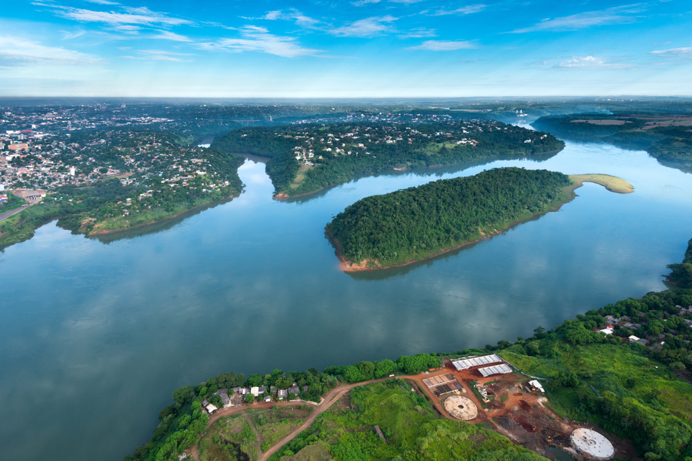
1. Paraná River: 3,030 miles (4,880 kilometers)
Formed by the confluence of the Grande and Paranaiba rivers in southeastern Brazil, the Paraná River flows for over 3,000 miles in a southwest direction into La Plata River.
It flows through Brazil, Paraguay, and Argentina, and its drainage basin covers Paraguay, southeastern Brazil, northern Argentina, and southeastern Bolivia, touching both Central America and South America.
Throughout its course, the Paraná joins many other rivers, creating some of the continent’s most breathtaking places.
One of those rivers is the Paraná. Together, the Paraná and Paraguay rivers create the Pantanal, the largest wetland in the world. They also form Iguazu Falls, known for being the second-largest waterfall on the planet.
With the Paranaíba River, the Paraná forms some of the continent’s largest semi-deciduous forests, which are home to an array of rare South American species, including the golden-rumped lion tamarin.
2. Usumacinta River: 621 miles (999 kilometers)
Located in northwestern Guatemala and southeastern Mexico, the Usumacinta River is formed by the junction of the Salinas River and the Pasión River.
The Usumacinta forms part of the border between the country of Guatemala and the Mexican state of Chiapas.
It then continues in a northwesterly direction, zigzagging through the state of Tabasco to the Gulf of Mexico. It’s in this state that the river flows across the ecological reserve of the Cañón del Usumacinta, carving impressive canyons along the way.
After flowing into the plain of Tabasco, the Usumacinta receives the Grijalva River. This confluence forms the Pantanos de Centla, a large wetland region.
3. Coco River: 523 miles (842 kilometers)
Situated in southern Honduras and northern Nicaragua, the Coco River rises west of San Marcos de Colón in Honduras by the border between Honduras and Nicaragua.
It flows in a generally eastward direction before turning northward near Mount Kilambé.
The Coco flows eastward for a great part of its middle and lower course. Along these sections, it forms a delta and then empties into the Caribbean Sea at Cape Gracias a Dios via 3 primary channels.
Although the river is 523 miles long, only the lower 140 miles are navigable by watercraft. Therefore, it doesn’t contribute much to the local economy.
However, there is some gold mining activity along the river’s course, and the river is used to float timber across the dense Caribbean lowlands.
4. Atrato River: 466 miles (750 kilometers)
The Atrato River, located in northwestern Colombia, rises in the Cordillera Occidental’s (Andes) western slopes.
It flows in a generally northward direction before emptying into the Gulf of Urabá of the Caribbean Sea.
Although the Atrato is only 466 miles long, it discharges an impressive 175,000 cubic feet of water per second, transporting a large amount of sediment that’s quickly filling the Gulf of Urabá.
With its relatively calm, peaceful waters, the river is mostly navigable, with small boats sailing as far north as Quibdó.
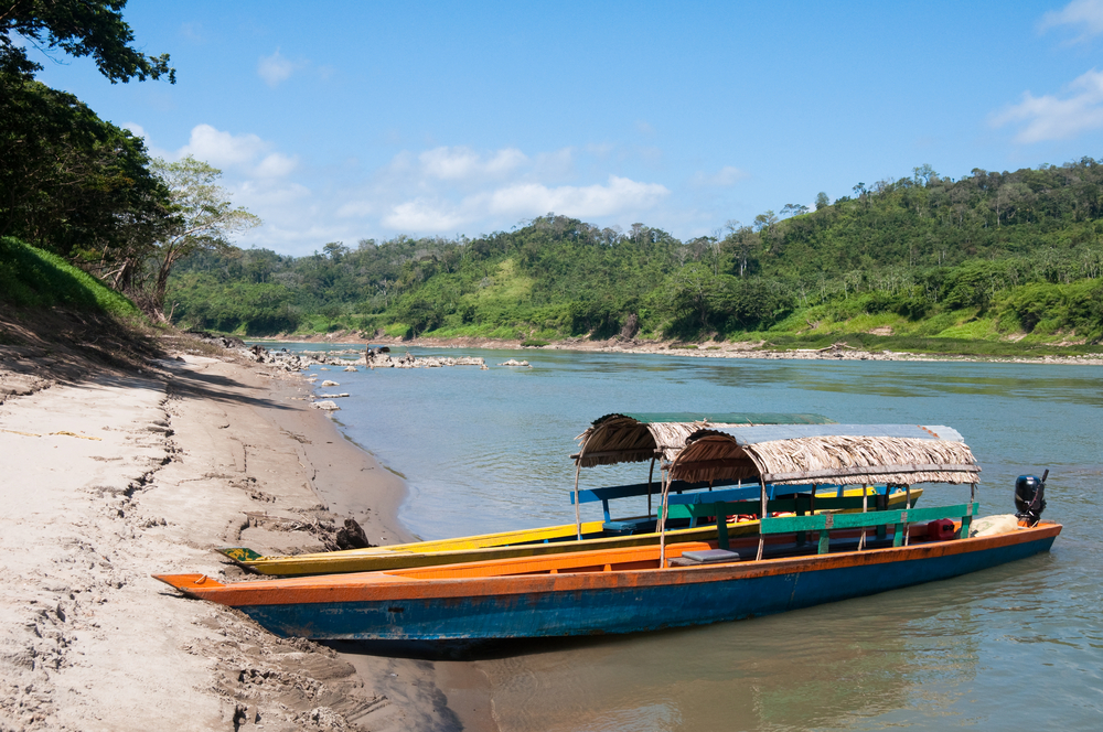
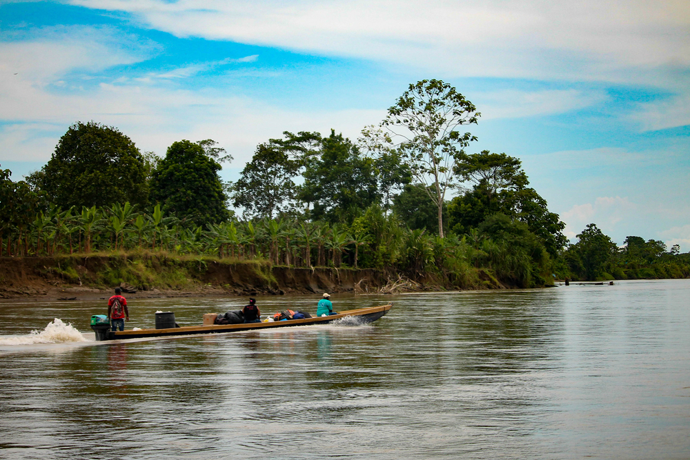
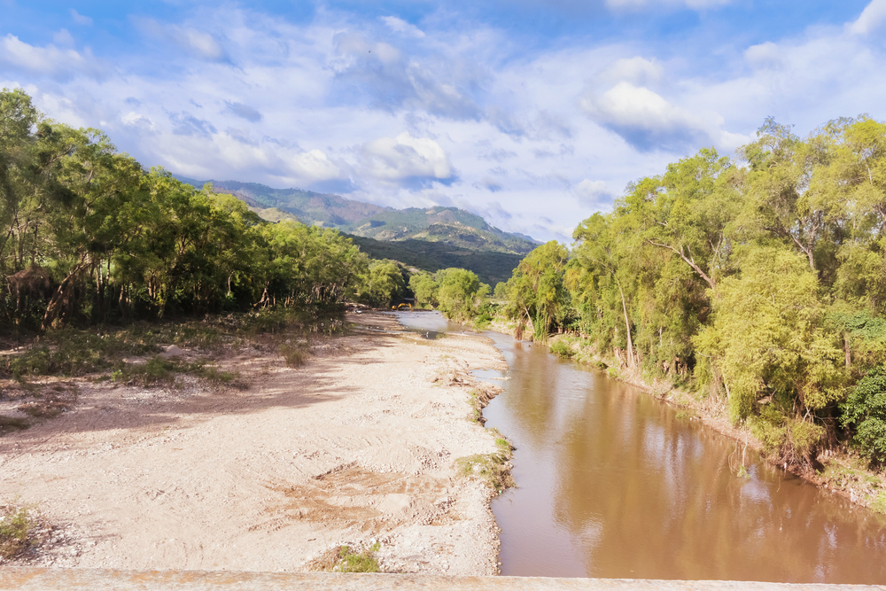
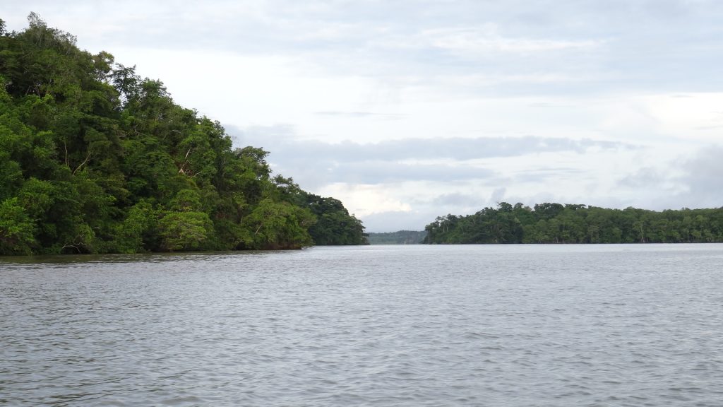
5. Patuca River: 311 miles (501 kilometers)
Image: Wikimedia / Marcio Martínez
The Patuca River, formed by the merging of the Guayape and Guayambre rivers, runs northeastward for about 200 miles, crossing the Mosquito Coast before emptying into the Caribbean Sea.
Rapids throughout much of the upper course make navigation difficult if not impossible. The most famous part of the river’s turbulent upper course is the Portal del Infierno, which means “Gate of Hell.”
Its lower course is much more navigable, often used to float logs from the tropical rainforests. It also functions as a source of transportation and communication for the isolated areas surrounding its lower course.
6. Motagua River: 302 miles (486 kilometers)
Known for being Guatemala’s longest river, the Motagua River is a 302-mile-long river that flows that runs generally east-northeastward before emptying into the Omoa Bay, which is off the Gulf of Honduras.
Close to the river’s source, it’s known as the Silbapec River. But further downstream, it’s referred to as the Río Grande.
From the left bank of the Motagua, one can see the Chuacús, Minas, and San Isidro mountain ranges. Its important tributaries, such as Chiquimula, flow from the south.
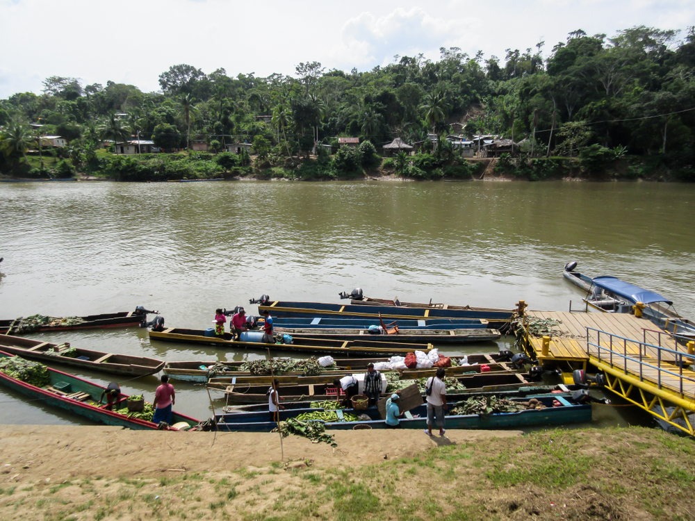
Navigable for about 125 miles from its mouth, the Motagua is often used to transport coffee, bananas, and other fruits grown in the valleys of the river’s eastern portion.
One large company that operates in the region is the United Fruit Company, which has been raising and harvesting bananas commercially in the region since 1904.
7. Río Grande de Matagalpa: 267 miles (430 kilometers)
Located in central and eastern Nicaragua, Río Grande de Matagalpa begins in the highlands southwest of the city of Matagalpa, alternating between flowing northeastward and southeastward.
It flows between the Darién and Huapí mountains before meandering through eastern Nicaragua’s lowlands. There it meets its major tributary, the Tuma River.
The Matagalpa empties into the Caribbean Sea at Río Grande (town).
Despite the river’s considerable length, only its lower course is navigable. However, the river is home to Nicaragua’s first major hydroelectric plant, and the river also has a man-made river at its headwaters.
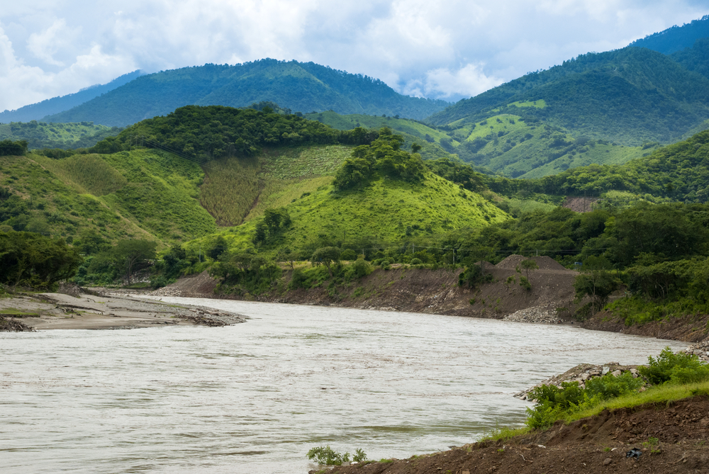
8. Lempa River: 262 miles (422 kilometers)
The Lempa River begins in Guatemala near the town of Esquipulas, crosses a small portion of Honduras, and enters El Salvador at the municipality of Citalá.
After flowing through El Salvador’s northern mountains, the Lempa flows eastward and then southward through the southern mountains.
After a course of more than 200 miles, the Lempta empties into the Pacific Ocean.
As El Salvador’s largest and only navigable river, the Lempa has hydroelectric projects up north and an agriculturally developed basin (with sisal, which is a cordage fiber) being the major crop) down south.
9. Choluteca River: 217 miles (349 kilometers)
The Choluteca River is located in southern Honduras. It begins in Lepaterique, a municipality in the Honduran department of Francisco Morazán, flowing north through Tegucigalpa city and then south through the department of El Paraíso.
Lastly, it runs through the department (and city) of Choluteca – hence the river’s name.
The Choluteca’s mouth, which can be found among wetlands, is close to the coastal town of Cedeño.
According to the Food and Agriculture Organization of the United Nations (FAO), the Choluteca River is 217 miles long. The rainy season makes the river’s volume increase between the months of May and October each year.
Its basin, which often sees serious bush fires due to severe drought as well as the El Niño phenomenon, covers 2,966 square miles of land.
Unlike most other rivers, the Choluteca has no man-made dams, allowing the river to maintain its natural health.
However, there have been instances of severe flooding in the region, the most notable being the 1998 flooding of the Choluteca during Hurricane Mitch. The river grew to six times its normal size, ravaging entire neighborhoods in Tegucigalpa.
In addition to destroying communities, the hurricane rerouted the Choluteca, and the river was no longer flowing underneath the New Choluteca Bridge.
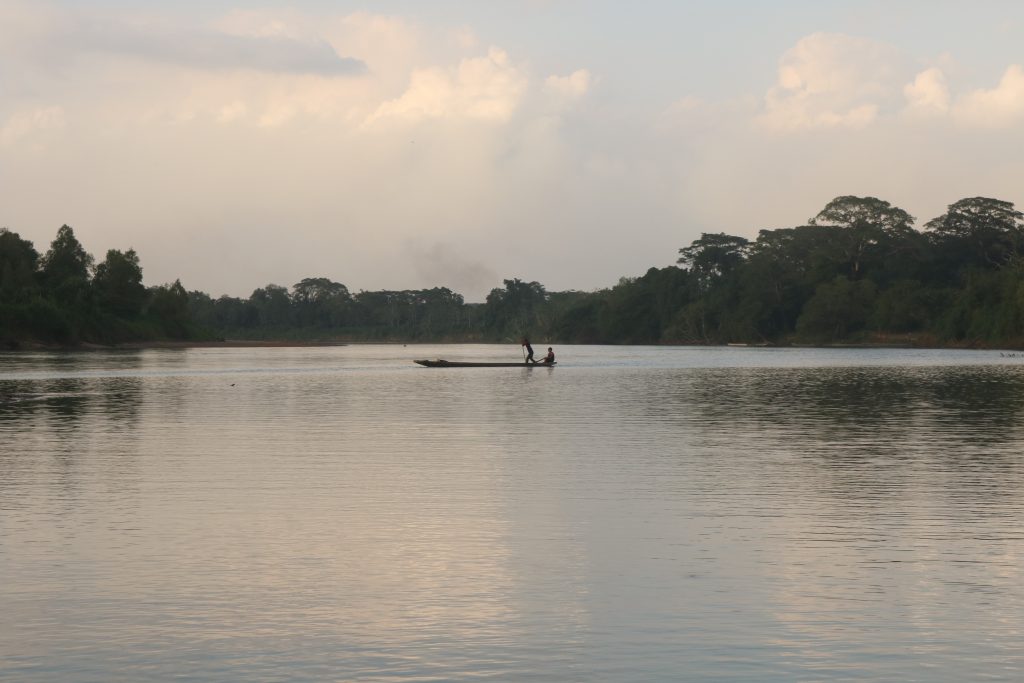
10. Aguán River: 149 miles (240 kilometers)
Image: Wikimedia / Dumale sivad
The Aguán River, which is 149 miles in length, rises in Honduras’ central highlands before descending into the area between the Cerros de Cangreja and the Sierra de la Esperanza.
It then flows to the coastal lowlands. There it empties into the Caribbean Sea close to the towns of Santa Rosa de Aguán and Limón.
The land surrounding the river has been marked by periods of devastation and restoration. Before being restored to banana cultivation with disease-proof varieties of banana in the 1970s, it was fraught with floods, banana diseases, and hurricanes.
In the valley along the lower course, agricultural developments transitioned to raising corn, citrus fruits, rice, and African palm.
Also in the 1970s, the railway running alongside the lower and middle valley of the Aguán was not only restored but also extended to reach Puerto Castilla.
Another development was the construction of a highway to connect the river valley with the Tela, La Ceiba, Puerto Cortés, and Trujillo ports.
11. Ulúa River: 149 miles (240 kilometers)
With its headstreams rising in the central highlands of Honduras, the Ulúa River drains a large chunk of the northwestern part of the country.
Its main course, which is 149 miles long, is formed by the confluence of the Jicatuyo and Otoro rivers.
Flowing in a northeastward direction, the Ulúa enters the Sula Valley, which is well known for its banana plantations. After this, it becomes navigable.
The Ulúa empties into the Gulf of Honduras of the Atlantic Ocean.
12. Chucunaque River: 144 miles (232 kilometers)
A tributary of the Tuira River in Panama’s Darién Province, the Chucunaque River is Panama’s longest river.
The ecoregion formed by the Chucunaque and Tuira rivers is home to the Tuira-Chucunaque hydroelectric watershed, which supports the communities along the river by providing electricity.
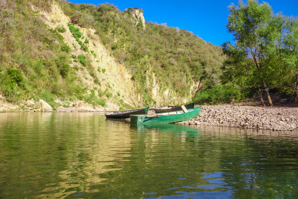
13. Tuira River: 143 miles (230 kilometers)
Image: Wikimedia / Chihuihui
Located in eastern Panama, the Tuira River begins in the Darién highlands, flowing in many directions before passing El Real de Santa María.
There it receives the Chucunaque River and then continues northwest to La Palma (on the Gulf of San Miguel).
About half of the river is navigable (from its mouth).
Its basin, which is made up of a tropical rainforest that sees over 80 inches of rainfall each year, is inhabited by the Chocó Native Americans.
14. Chepo River: 128 miles (206 kilometers)
As Panama’s third-largest river, the Chepo River flows through the Chepo District of Panama Province before emptying into the Pacific Ocean.
The northernmost portion of the river is known as the Bayano River, named after the Bayano Dam, whose construction resulted in the development of a 140-square-mile lake reservoir.
The Chepo’s headwaters consist of watercourses flowing south from the San Blas Mountains close to the Caribbean Sea.
It meets with its major tributary, the Mamoni River, farther downstream.
The Chepo River is an artery of riverine commerce, with Coquira being its main port.
15. Chamelecón River: 124 miles (200 kilometers)
Image: Flickr / Fellowship of the Rich
The Chamelecón River, located in Honduras, is a high-risk river when it comes to heavy rain and hurricanes.
Because it flows through the Sula Valley, Honduras’ largest alluvial valley, the region is vulnerable to flooding, especially during the rainy season.
However, the valley’s fertile soils, thanks to the Chamelecón and Ulúa rivers, have been rich in agricultural development.
Roughly 65% of Honduras’ GDP is generated in this valley, accounting for more than half of the country’s total exports.
Also, about one-third of Honduras’ population lives in the Sula Valley, largely relying on the Chamelecón River for sustenance.