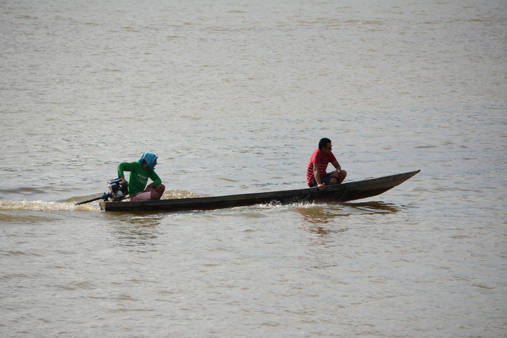
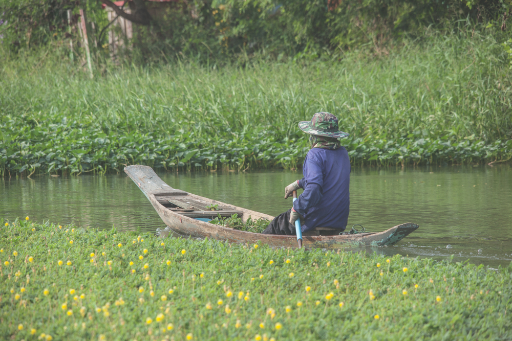
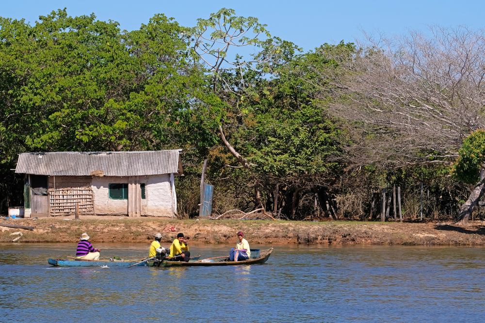
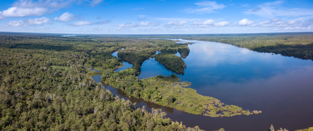
What comes to mind when you hear “South America”? You probably think of the Amazon River, the Amazon Rainforest, remote indigenous tribes, Latin American cultures, the Andes Mountains, Rio de Janeiro’s Carnival, and soccer.
The Amazon River may be the world’s longest river, but it isn’t the only river flowing through the continent.
There are many, many more, and they each play an important role in keeping their ecosystems and surrounding communities healthy.
You’ve probably never heard of the Paraná River, the São Francisco River, and the many other rivers that form the lifeblood of South American people and animals.
So, without further ado, here are South America’s 30 longest rivers – which also happen to be some of the continent’s most important life-giving bodies of water.
Table of Contents
The Longest Rivers in South America
Number
River
Length (miles)
Length (kilometers)
1
Amazon River
4,345
6,993
2
Paraná River
3,030
4,880
3
Juruá River
2,040
3,350
4
Madeira River
2,019
3,250
5
Purus River
1,995
3,211
6
São Francisco River
1,811
2,830
7
Paraguay River
1,675
2,695
8
Araguaia River
1,631
2,625
9
Tocantins River
1,520
2,450
10
Orinoco River
1,400
2,250
11
Negro River
1,400
2,250
12
Xingu River
1,305
2,100
13
Japurá-Caquetá River
1,265
2,036
14
Tapajos River
1,238
1,992
15
Mamoré River
1,200
1,930
16
Uruguay River
1,142
1,838
17
Pilcomayo River
1,118
1,800
18
Guaporé (Itenez) River
1,087
1,749
19
Beni River
994
1,599
20
Putumayo (Içá) River
979
1,575
21
Magdalena River
963
1,550
22
Guaviare River
930
1,497
23
Río Grande (Guapay)
894
1,438
24
Marañón River
879
1,415
25
Grande River
845
1,360
26
Iguaçu River
820
1,320
27
Iriri River
808
1,300
28
Juruena River
771
1,240
29
Salado River
715
1,150
30
Tiete River
702
1,130
1. Amazon River: 4,345 miles (6,993 kilometers)
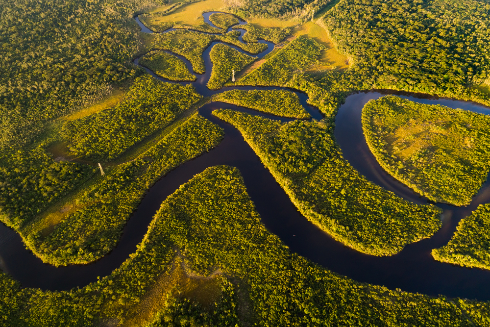
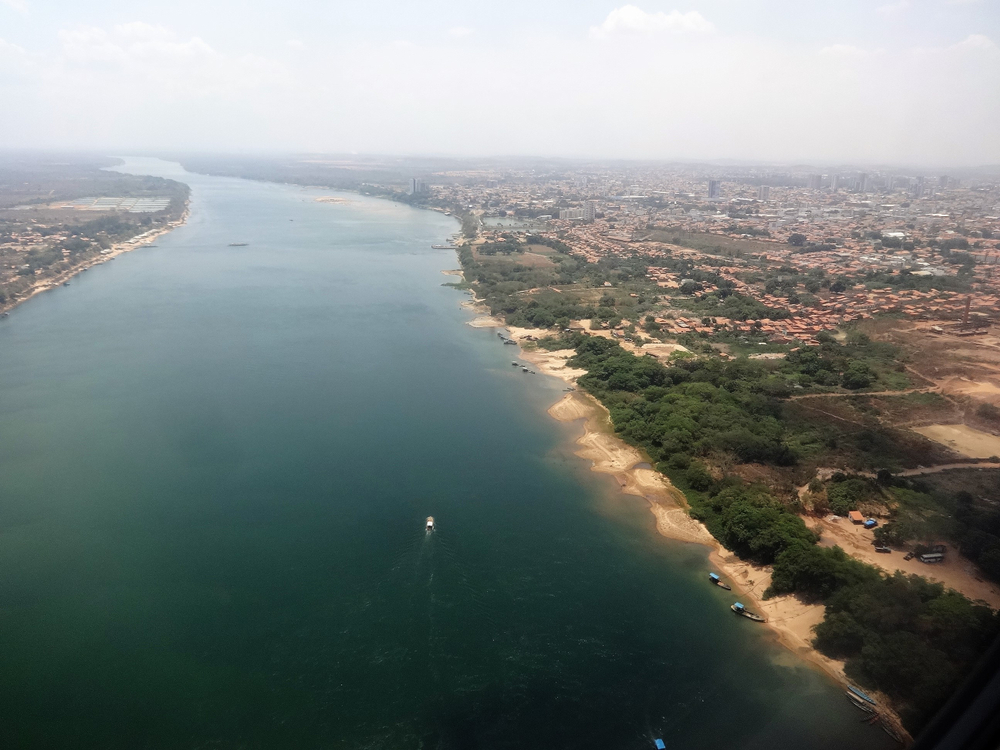
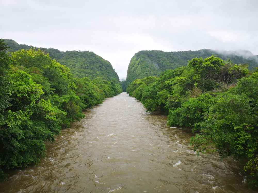
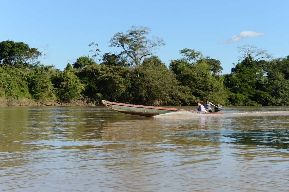
Although widely disputed, the Amazon River now officially holds the title of the world’s longest river. The river, which held the title of the world’s second-longest river, after the Nile River, during the 20th century, is believed by some scholars to begin further into Peru than originally thought, making “The River Sea” the world’s longest river.
What’s not a disputed fact, however, is that the Amazon River has the world’s highest volume of water discharge, draining roughly two-fifths of the South American continent.
The Amazon, which receives at least 400 inches of rain each year, expands to a width of 25 miles during the rainy season, also making it the world’s widest river.
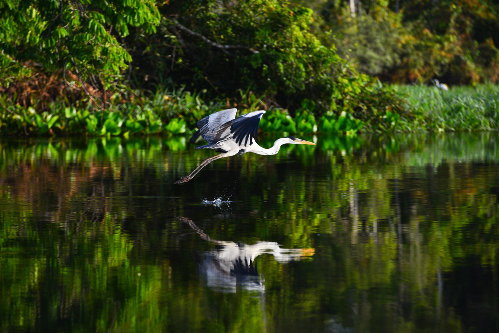
Besides its length, the Amazon is famous for its abundant wildlife and broadleaf tropical rainforest. Included among the Amazon’s 3 million species are bull sharks, which can be found as far inland as 2,000 miles, and giant catfish, which can weigh over 200 pounds.
2. Paraná River: 3,030 miles (4,880 kilometers)
Not a lot of people outside of South America know that the Paraná River is the second-longest river on the continent.
Formed by the confluence of the Grande and Paranaiba rivers in southeastern Brazil, the Paraná River flows for over 3,000 miles in a southwest direction into La Plata River.
Throughout its course, the Paraná joins many other rivers, creating some of the continent’s most breathtaking places.
Together, the Paraná and Paraguay rivers create the Pantanal, the largest wetland in the world. They also form Iguazu Falls, known for being the second-largest waterfall on the planet.
With the Paranaíba River, the Paraná forms some of the continent’s largest semi-deciduous forests, which are home to an array of rare South American species, including the golden-rumped lion tamarin.
3. Juruá River: 2,040 miles (3,350 kilometers)
One of the most important rivers in Brazil and Peru, the Juruá River flows for more than 1,000 miles without any natural obstruction, making it a very navigable river up until it reaches the Amazon River.
Located to the west of the Purus River, the Juruá River joins the southern part of the Amazon River.
Similar in many ways to the Purus, the Juruá is characterized by its slow water flow, meandering through the flooded, forested land until it meets with the Solimoes River.
Today, the Juruá, 90% of which is located in Brazil, is a source of livelihood for the many indigenous communities that live around the river. Serving as one of the Amazon’s tributaries, the Juruá also indirectly provides electricity (via the Amazon’s many hydroelectric dams) to the communities living in and around the Amazon’s vicinity.
Many unique animal species, such as parrots, kingfishers, and pink and gray river dolphins can be found in or near the Juruá River.
4. Madeira River: 2,019 miles (3,250 kilometers)
The Amazon River’s largest and most important tributary, the Madeira River covers roughly a quarter of the Brazilian Amazon.
The Madeira Basin has extremely high biodiversity, with animals such as the spotted jaguar, pink dolphin, giant otter, and countless others calling the basin home.
Approximately 750 fish species swim about 3,000 miles every year to spawn in the muddy, rich waters of the Madeira.
The construction of two major hydroelectric dams on the Madeira is underway. The Brazilian government’s plan is to turn the Madeira into a shipping canal, which would allow for the transportation of resources out of the Amazon.
While some have lauded the efforts of the government and the Initiative for the Integration of Regional Infrastructure in South America (IIRSA) to grow and develop the economy, others have marked the efforts as environmentally destructive.
5. Purus River: 1,995 miles (3,211 kilometers)
The Purus River, a highly meandering river known for having five “furos” (or river channels), runs through the lush Amazon Forest before draining into the Amazon River.
Its headwaters, which form part of the Brazil-Peru boundary, begin in Peru’s Ucayali region. It discharges almost 390,000 cubic feet of water per second into the Amazon.
Draining about 140,000 square miles of land, 90% of which is located in the Brazilian states of Acre and Amazonas, the Purus River boasts rich biodiversity. Bird and reptile species that call the Purus River and the Purus Basin home include blue herons, egrets, macaws, green parrots, water lizards, and Boa constrictors, to mention a few.
6. São Francisco River: 1,811 miles (2,830 kilometers)
With a length of 1,811 miles, the São Francisco River is the longest river that completely runs within Brazil’s boundaries.
It used to be referred to as the Opara by the local indigenous people before European colonization. Now it’s commonly known as Velho Chico (“Old Frank”).
The São Francisco, which drains around 240,000 square miles of land, is a major river for Brazil. Because it unites different regions of the country, including the Northeast with the Southeast, it’s called “The River of National Integration.”
7. Paraguay River: 1,675 miles (2,695 kilometers)
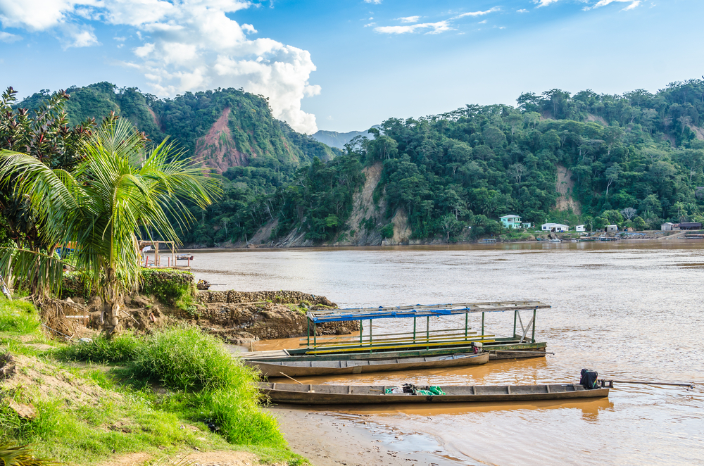
Located in the south-central part of South America, the Paraguay River runs through Brazil, Bolivia, Paraguay, and Argentina.
The 1,675-mile-long river begins in the Brazilian state of Mato Grosso, ending when it combines with the Paraná River.
Asunción, the capital city of Paraguay, happens to be the largest city on the river.
The Parahuary River Basin teems with wildlife. Fish species include the brycon hilarii and golden dorado.
8. Araguaia River: 1,631 miles (2,625 kilometers)
The Araguaia River begins in the Brazilian Highlands near the town of Alto Araguaia in the state of Mato Grosso. It then flows in a northeast direction before joining the Tocantins River at São João do Araguaia.
The upper part of the river creates the boundary between Mato Grosso state to the west and Goiás and southern Tocantins states to the east.
While the river’s western arm is characterized by its many falls and rapids, the eastern channel is much calmer and is navigable for small boats.
However, the Araguaia isn’t really conducive to transportation.
The river, though, has an abundance of minerals (e.g., uranium, copper, zinc) and has been providing electricity to its local communities since the late 20th century.
9. Tocantins River: 1,520 miles (2,450 kilometers)
The Tocantins River begins in the central plateau in Goiás, flowing northward through Brazil’s Goiás and Tocantins states before receiving the Manuel Alves Grande River.
Up to its junction with the Araguaia River, it forms the boundary between Tocantins and Maranhão states.
It then flows into the Pará River, an arm of the Amazon River delta, ultimately emptying into the Atlantic Ocean.
The Tocantins and Araguaia rivers are collectively considered an Amazon tributary. However, they’re actually a separate system, draining over 300,000 square miles.
Like the Araguaia, the Tocantans is of little use for navigation due to its rapids and waterfalls. It houses a major hydroelectric facility at Tucuruí.
10. Orinoco River: 1,400 miles (2,250 kilometers)
One of the world’s largest river systems, the Orinoco River drains about 340,000 square miles (76.3% of which is in Venezuela with the rest being in Brazil and Colombia).
The name Oronico, which comes from the language of the Warao people, an indigenous people in eastern Venezuela and western Guyana, means “A Place to Paddle.”
In fact, Warao means “Boat People,” referring to the indigenous people’s intimate, longstanding relationship with water that has lasted for generations.
The Orinoco region sees an abundance of wildlife, including over 1,000 bird species (such as the scarlet ibis and the umbrella bird) and an impressive variety of fish (such as the electric eel, the catfish, and the piranha). The Amazon River Dolphin and the Orinoco crocodile, who both live here, can grow up to 9 feet and 20 feet in length, respectively.
11. Negro River: 1,400 miles (2,250 kilometers)
A major tributary of the Amazon, the Negro River begins in the rainforest of eastern Colombia. Part of the river forms the Colombian–Venezuelan border.
After it enters Brazil, it meanders in a general east-southeast direction before picking up the Branco River in addition to other tributaries.
When it reaches Manuas in northwestern Brazil, it combines with the Solimões River, forming the Amazon River.
About 450 miles of the river is navigable and used for transportation. However, very few human communities exist around the river.
The Negro River derives its name from its water’s jet-black color, which comes from the decomposition of organic matter as well as its low content of silt.
12. Xingu River: 1,305 miles (2,100 kilometers)
The Xingu River is formed by many headstreams, including the Curiseu, Batovi, and Romuro rivers.
It flows in a generally northward direction for about 1,300 miles before emptying into the Amazon River south of an island known as Ilha (island) Grande de Gurupá.
The river is only navigable for about 125 miles, from its mouth to Sousel and Vitória.
It has many rapids throughout its upper course, making navigation almost if not completely impossible.
Since the late 1970s, local communities have been making use of the river through the Xingu–Araguaia Hydroelectric Project.
The 1950s saw the designation of Xingu National Park as a preserve for the region’s local indigenous groups, including the Tchikao, whose existence was being threatened.
13. Japurá-Caquetá River: 1,265 miles (2,036 kilometers)
The Japurá River, rising as the Caquetá River east of the city of Pasto in Colombia, runs in an east-southeast direction through southeastern Colombia’s tropical rainforest.
It’s after the Caquetá receives the Apaporis River at the Brazilian border that its name changes to Japurá, as it’s known in Brazil. After that, it flows eastward, eventually joining the Solimões River, a stretch of the Amazon.
The river’s mouth is characterized by an expansive network of channels, as well as large islands.
Due to its strong current, the river is only navigable for small boats.
14. Tapajos River: 1,238 miles (1,992 kilometers)
One of the Amazon’s largest tributaries, the Tapajos River flows through 65 municipalities in 3 Brazilian states: Mato Grasso, Para, and Amazonas.
Its basin covers 193,000 square miles and teems with wildlife. There are more than 300 fish species here, and the region is recognized as one of the most important places in the world (top 25%) for rare land and water animal species.
Currently, 1.4 million people, including 10 indigenous groups, inhabit the Tapajos River Basin. They all depend on the Tapajos for water, food, energy, and jobs.
Like the Madeira, the Tapajos has been one of the Brazilian government’s targets for its energy plans. A total of 124 dams have been scheduled for construction on the river.
The Nature Conservancy, concerned about the projects’ detrimental effects on the environment, has been advocating for environmental sustainability and looking for ways the development can benefit the local indigenous people as well as the environment.
15. Mamoré River: 1,200 miles (1,930 kilometers)
Formed by headwaters, mostly the Grande River, the Mamoré begins in the Andean cordilleras, flowing northward toward the Brazilian border.
At the border, it joins the Iténez River.
It forms part of the Bolivia-Brazil frontier until it joins the Beni River.
The Mamoré’s rapids make navigation difficult, but it’s navigable through the Moxos plain and tropical forest up until it ends in Guajará-Mirim, Brazil.
16. Uruguay River: 1,142 miles (1,838 kilometers)
Flowing from north to south, the Uruguay River forms parts of the boundaries of the countries of Argentina, Brazil, and Uruguay.
Its main headstream, the Pelotas River, originates at Alto do Bispo in Brazil’s Santa Catarina state, taking the name Uruguay after joining the Canoas River.
When combined with the Paraná River, it forms the estuary of the Río de la Plata.
Navigation is limited due to the river’s wild rapids. However, ships can reach Paysandú, Uruguay, via the river, and smaller ships can reach Salto.
17. Pilcomayo River: 1,118 miles (1,800 kilometers)
A major tributary of the Paraguay River, the Pilcomayo River rises in Bolivia’s eastern Andes Mountains, flowing in a southward direction through Paraguay’s Gran Chaco plains. It’s there that it ends and joins the Paraguay River.
Its lower course, which flows through small channels that are separated by bars, is navigable by small ships and boats.
The Pilcomayo River forms part of the international boundary between Argentina’s Formosa province and Paraguay.
Since the latter part of the 20th century, one of the region’s biggest concerns has been the high amount of pollution resulting from mining industry waste.
18. Guaporé (Itenez) River: 1,087 miles (1,749 kilometers)
Rising in the Serra (mountains) dos Parecis in Brazil’s Mato Grosso state, the Guaporé River flows in multiple directions before receiving the Rio Verde.
After that, it continues in a northwest direction, forming the Bolivia–Brazil border and emptying into the Mamoré River.
Unlike many other rivers in South America, the Guaporé River is navigable throughout the entirety of its course.
It runs through a tropical rainforest, supporting the indigenous and non-indigenous inhabitants in the region.
19. Beni River: 994 miles (1,599 kilometers)
The Beni River, formed by the confluence of many rivers in the north part of the Cordillera Real above La Paz, Bolivia’s administrative capital, flows in a northeast direction through the dense Yungas forest and plains.
It joins the Madre de Dios River at Riberalta, flowing to its junction with the Mamoré at Villa Bella, which is on the Brazilian border.
Together, the Beni and the Mamoré form the Madeira River, which makes up Bolivia’s northeastern border.
Navigation is possible on the Beni River during high water season (December to May) between Rurrenabaque and the rapids at Esperanza, which is near the river’s junction with the Mamoré River.
20. Putumayo (Içá) River: 979 miles (1,575 kilometers)
Originating as the Guamués River, the Putumayo River runs in a southeast direction through densely forested plains.
After it passes Puerto Asís, Colombia, it takes its name Putumayo.
In Colombia, the river continues its course through tropical rainforests, forming most of the Colombia–Ecuador and Colombia–Peru borders.
The Putumayo enters Brazil at Santa Clara, becoming known as the Içá.
Later, it joins the Amazon River at Santo Antônio do Içá in Brazil.
21. Magdalena River: 963 miles (1,550 kilometers)
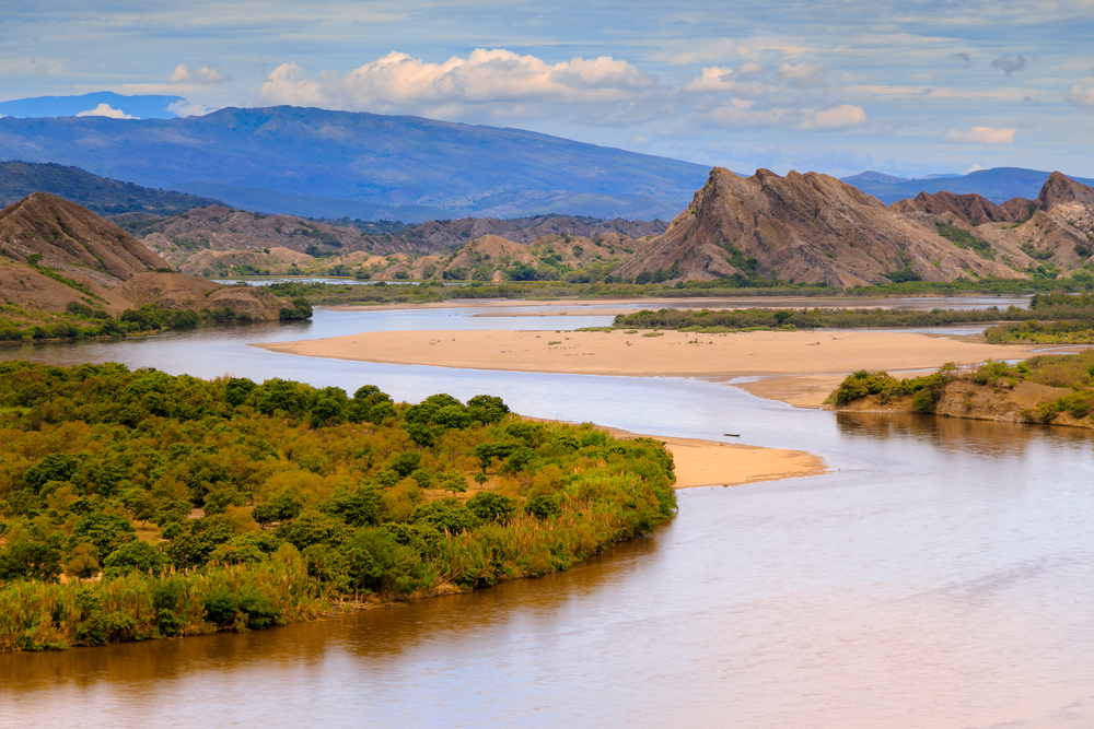
The Magdalena River rises where the Andean Cordilleras Central and Oriental separate, flowing northward for 963 miles into the Caribbean Sea.
Along its course, it receives the César, San Jorge, and Cauca rivers in its swampy northern lowlands.
Between Neiva, Colombia, and the sea, the Magdelena is navigable by steamboats, although watercraft are likely to encounter rapids at Honda.
Despite its fast current and sharply varying depths, the Magdalena sees more commerce than any other river in Colombia and is also a hub for freshwater fishing.
22. Guaviare River: 930 miles (1,497 kilometers)
One of the Orinoco River’s major tributaries, the Guaviare, known from its origination as the Guayabero River, is formed by the junction of the Duda and Tagua Rivers.
As it flows in an eastward direction between Meta departamento up north and Guaviare departamento down south, the river takes the name Guaviare.
It meanders on until it meets the Orinoco River in Venezuela.
Despite its 930-mile length, the river’s rapids make navigation impossible.
23. Río Grande (Guapay): 894 miles (1,438 kilometers)
Not to be confused with the Rio Grande in the US and Mexico, the Río Grande (Guapay), also known as the Rio Grande of Bolivia, forms at the headwaters of the Ichilo River, which is a tributary of the Mamoré River.
Initially called the Rocha River, it flows in a westward direction through the Cochabamba Valley. After that, it changes direction, flowing southeast before joining the Arque River.
From this point, the Rocha is known as the Caine River, flowing further before receiving the name of the Rio Grande (or Guapay River).
24. Marañón River: 879 miles (1,415 kilometers)
The Marañón River rises in the portion of the snow-covered Andes Mountains overlooking Lake Lauricocha in Peru.
It flows in a northwest direction across 12,000-feet-high plateaus, forming a deep canyon between the Andes ranges.
Where the Marañón flows through dense jungle, the river is totally unnavigable due to its innumerable rapids and falls.
Further down, it meanders through a sparsely populated rainforest, eventually receiving the Huallaga River.
It later combines with the Ucayali River, where together they form the Amazon.
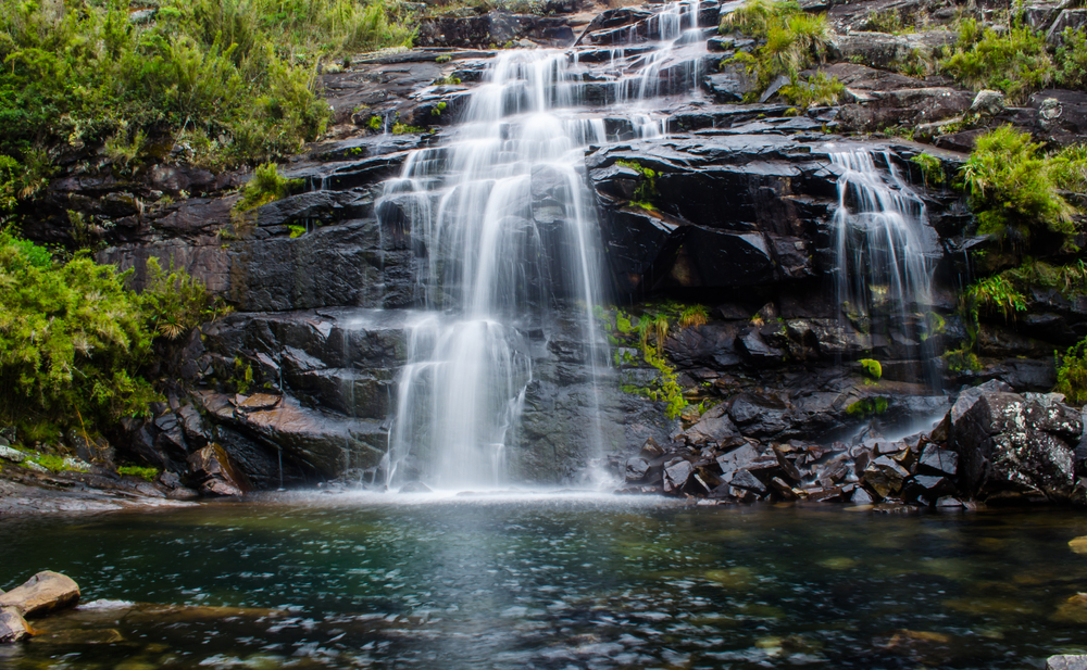
25. Grande River: 845 miles (1,360 kilometers)
Waterfall in the Mantiqueira Mountains
Also not to be confused with the Rio Grande in North America, the Grande River rises in the Mantiqueira Mountains, where Rio de Janeiro, Brazil is almost visible.
As it descends inland, the river is marked by falls and rapids, making it largely unnavigable for watercraft. However, the river is navigable for roughly 130 miles above the Márimbondo Waterfalls.
The Grande’s lower course forms part of the Minas Gerais–São Paulo border.
It ends when it joins the Paranaíba River, forming the Alto (Upper) Paraná River.
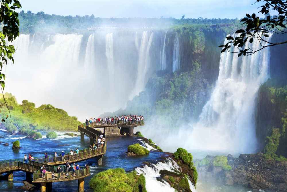
26. Iguaçu River: 820 miles (1,320 kilometers)
Best known for the impressive Iguaçu Falls, the Iguaçu River runs through southern Brazil’s Santa Catarina and Paraná states.
Formed by headstreams rising in the Serra do Mar, the Iguaçu flows in a generally westward direction through the uplands throughout the entirety of its course.
The Iguaçu, which forms part of the Brazilian-Argentine border, ends when it joins the Paraná River where Brazil, Argentina, and Paraguay meet.
Parts of the river are navigable, and hydroelectric plants have been built at the Osorio, Segredo, and Santiago falls to provide the local communities with electricity.
27. Iriri River: 808 miles (1,300 kilometers)
Xingu River
A large tributary of the Xingu River, the Iriri River is the 15th longest river in the Amazon Basin.
Along its headwaters live the Panará people, an indigenous people that farm and are hunter-gatherers.
The Iriri rises in Brazil’s Nascentes da Serra do Cachimbo Biological Reserve, flowing for hundreds of miles before joining the Xingu.
Wildlife abounds in the river, with many fish species living exclusively in the Iriri. Because of its remote location surrounded by the Amazon rainforest, large sections of the Iriri River remain to be explored.
28. Juruena River: 771 miles (1,240 kilometers)
Originating in the Parecis plateau, the Juruena River forms the eastern boundary of the Igarapés do Juruena State Park.
Part of its lower course defines the boundary between Brazil’s Mato Grosso and Amazonas states. It’s also here that the river forms the boundary between the Sucunduri State (west) and Juruena National (east) parks.
Up north, it creates the boundary between two reserves: the Bararati Sustainable Development Reserve and the Apiacás Ecological Reserve.
Finally, the Juruena River joins the Teles Pires River, forming the Tapajós River, one of the Amazon’s largest tributaries.
The river, which isn’t navigable due to its rapids and waterfalls, is best known for the Salto Augusto Falls.
29. Salado River: 715 miles (1,150 kilometers)
Paraná River
Beginning in Argentina’s Salta Province and ending in the Paraná River, the Salado River crosses several Argentinian provinces.
Its flow changes greatly from year to year, sometimes drying out at some parts of its course during the winter months.
Its only major tributary is the Horcones River, which meets the Salado in the Santiago del Estero Province of Argentina.
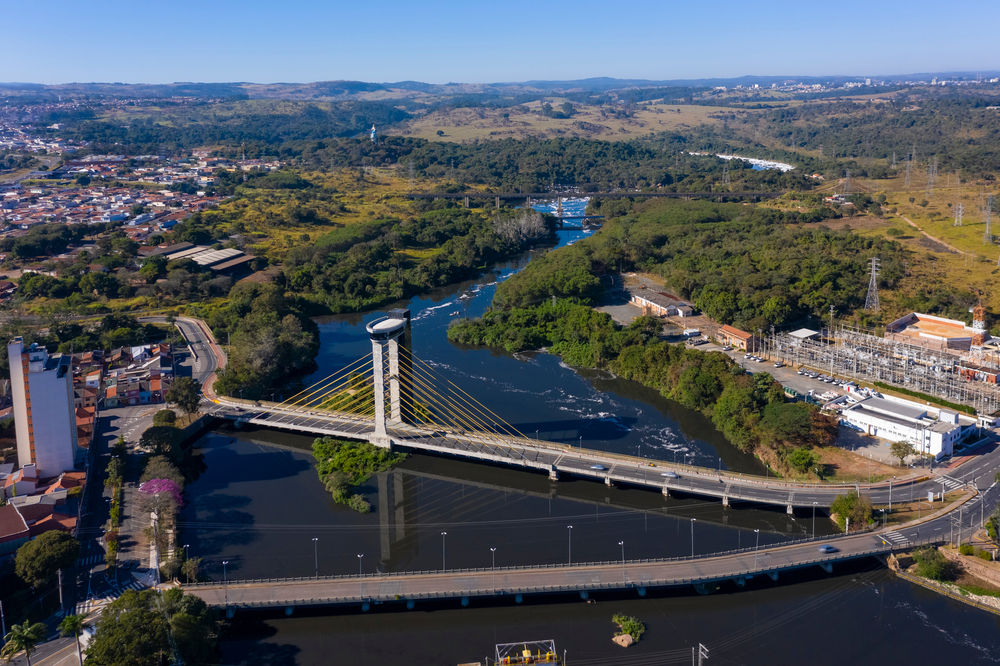
30. Tiete River: 702 miles (1,130 kilometers)
Rising in the Serra do Mar east of Brazil’s São Paulo state, the Tiete River flows for approximately 700 miles in a northwesterly direction.
It joins the Paraná River at Ilha Grande just north of Urubupungá Falls.
The Piracicaba, Jacaré, and Sorocaba are major tributaries of the Tiete, which drains about 27,410 square miles of land.
Many of São Paulo’s large cities are situated either on or near the Tiete.
Although the river’s rapids and waterfalls obstruct navigation, its rapids have been utilized for electricity. Also, since the 1990s, efforts have been made to turn the river into an important east-west water route for internal navigation.