Looking at a map of the US, you can see that the Mississippi River and the Missouri River appear to be the same length. But which one is the longest and how can you measure them?
The method you choose to measure a river certainly impacts the results.
Do you include its tributaries in the calculation? Do you measure each tributary separately? How often do you measure? Do you denote differences in natural flow as opposed to a man-made induced change?
Keep in mind as you read this list that there are many variables to consider when measuring a river’s length, and not everyone agrees when it comes to measurement methods.
With that caveat out of the way, here are the 30 longest rivers in the United States.
Table of Contents
The Longest Rivers in the United States
Number
River
Length (miles)
Length (kilometers)
1
Missouri River
2,341
3,768
2
Mississippi River
2,202
3,544
3
Yukon River
1,979
3,190
4
Rio Grande
1,759
2,830
5
Colorado River
1,450
2,330
6
Arkansas River
1,443
2,322
7
Columbia River
1,243
2,000
8
Red River
1,125
1,811
9
Snake River
1,040
1,674
10
Ohio River
979
1,575
11
Colorado River of Texas
970
1,560
12
Tennessee River
935
1,504
13
Canadian River
906
1,458
14
Brazos River
860
1,390
15
Green River
760
1,230
16
Pecos River
730
1,175
17
White River
720
1,159
18
James River
710
1,140
19
Kuskokwim River
702
1,130
20
Cimarron River
698
1,123
21
Cumberland River
696
1,120
22
Yellowstone River
678
1,091
23
North Platte River
665
1,070
24
Milk River
625
1,005
25
Ouachita River
605
974
26
Saint Lawrence River
600
965
27
Gila River
600
960
28
Sheyenne River
591
951
29
Tanana River
584
940
30
Smoky Hill River
576
927
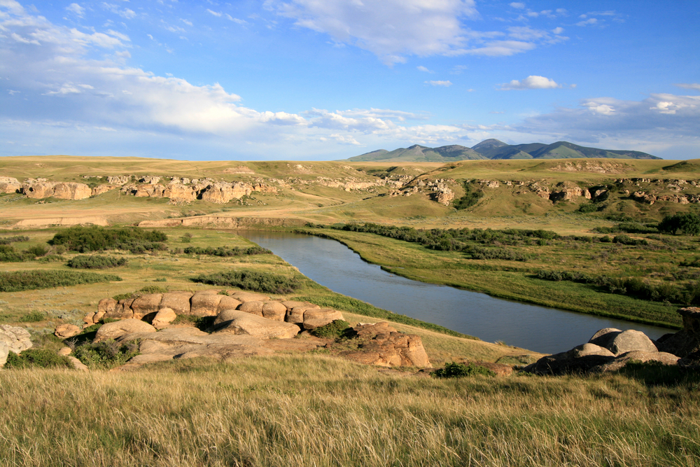
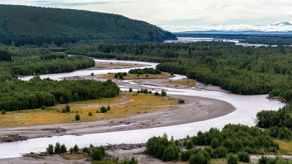
1. Missouri River – 2,341 miles
The Missouri River got its nickname, “Big Muddy,” from its silty, muddy bed. Unlike many of the other rivers in the US, it never runs clear. This lengthy body of water stretches for 2,341 miles, winding through Montana, North Dakota, South Dakota, Iowa, Nebraska, and Missouri. This river contains more than 95 tributaries, including the Platte River, Kansas River, Milk River, Yellowstone River, and James River.
Many Native American nations formed their communities along this river, including the Blackfeet, Crow, and Hidatsa. In the Great Plains, the river is called the “Center of Life.” Along its fertile banks and adjacent lands grow much of the country’s wheat, barley, and oats, and the river provides the main thoroughfare for transporting those crops, too.
2. Mississippi River – 2,202 miles
The mighty Mississippi River also provides a major agricultural production center along its banks and adjacent lands. The 2,202-mile-long Mississippi River basin accounts for more than 78% of the world’s feed grains and soybeans. It also provides about 92% of the US’ agricultural needs.
More than 50 cities and a total of approximately 18 million people rely on this river for drinking water as well as for the discharge of their municipal and industrial waste.
This massive body of water begins in Minnesota and passes through the states of Wisconsin, Iowa, Illinois, Missouri, Kentucky, Arkansas, Tennessee, Mississippi, and Louisiana, and ultimately empties into the Gulf of Mexico.
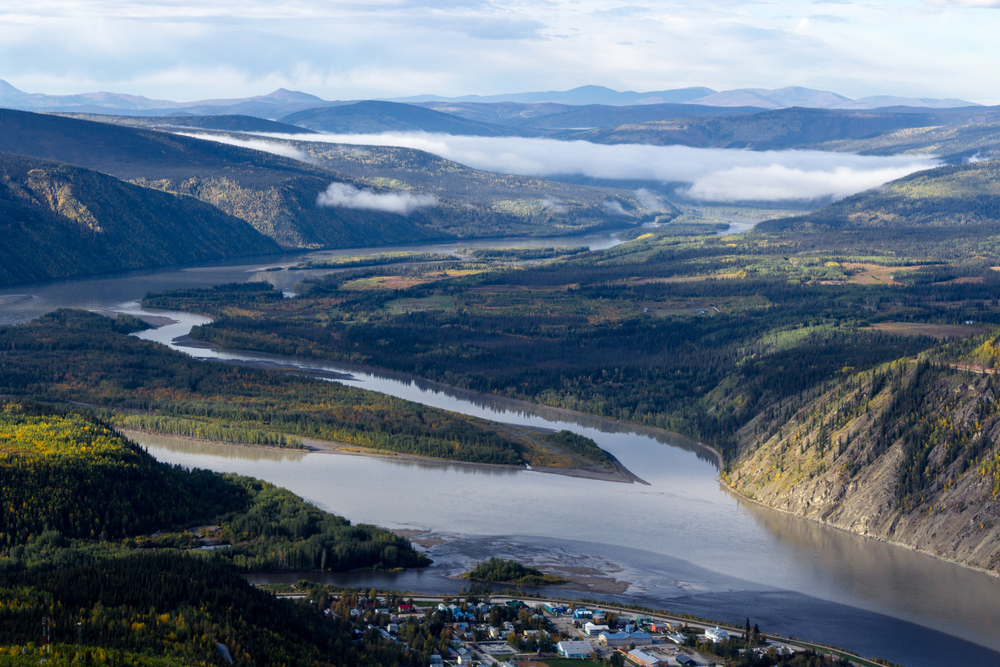
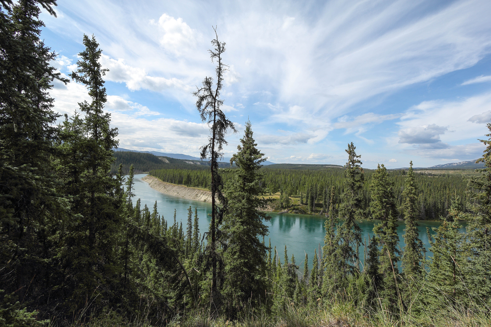
3. Yukon River – 1,979 miles
The US shares one of its longest rivers with its northern neighbor, Canada. The 1,979-mile-long Yukon River calls Canada’s Llewellyn Glacier its source. The river flows north to Alaska, one of the two non-contiguous US states. It forks westerly in Alaska, traveling across that state to the Bering Sea. About 30,000 people live in its watershed and depend on it as a part of the salmon fishery which they use for subsidence fishing.
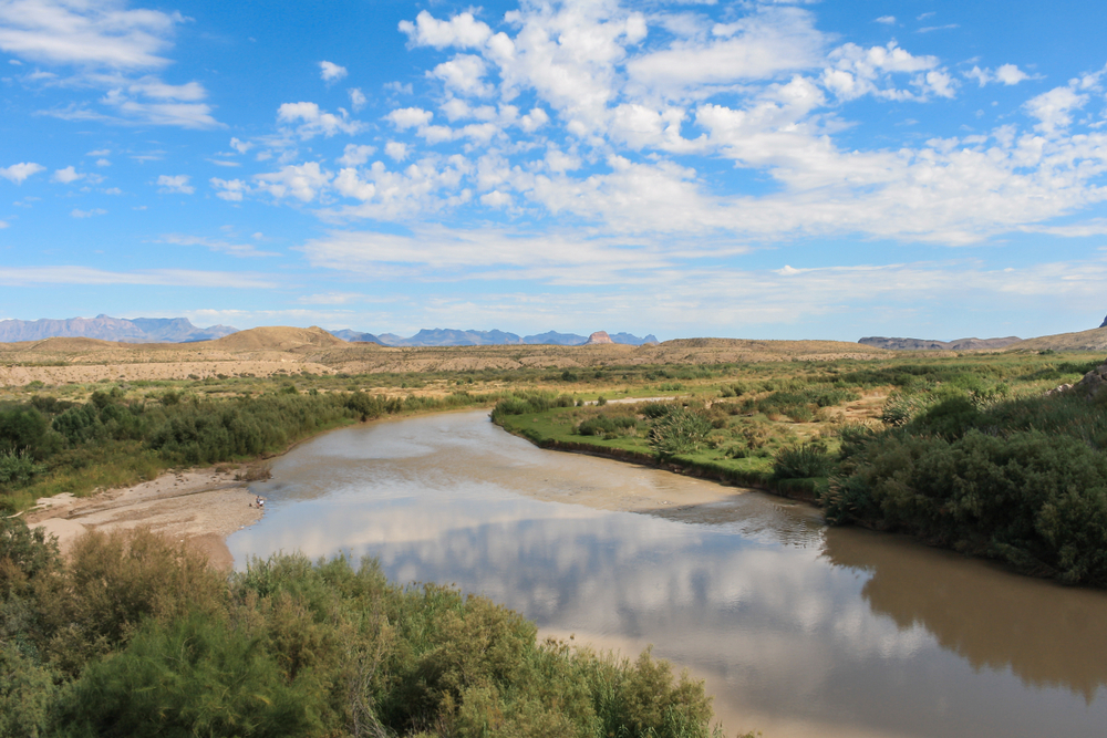
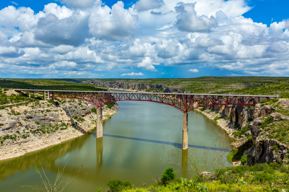
4. Rio Grande River – 1,759 miles
At an even 1,759 miles in length, the Rio Grande River flows from Colorado through New Mexico and along the southern border of Texas into the Gulf of Mexico. The US shares this river with its southern border mate Mexico. This river has three major tributaries – the Rio Conchos, the Rio Chama, and the San Juan River.
In the future, this river may shorten. A combination of reduced rainfall and overuse of its water for agricultural and domestic purposes has depleted its water stores. In fact, some areas of this river already run dry.
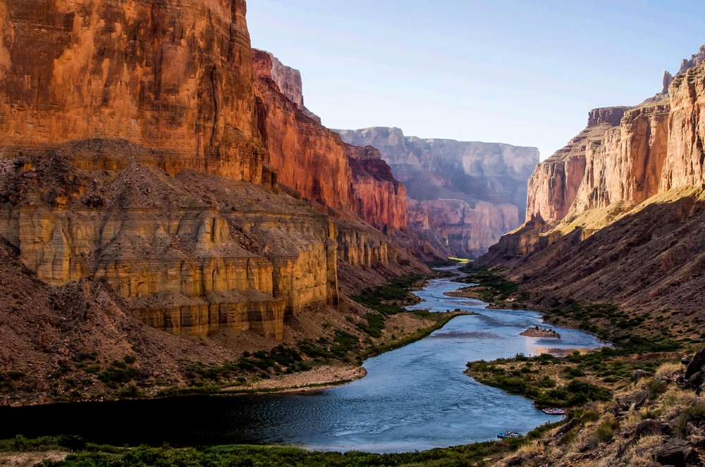
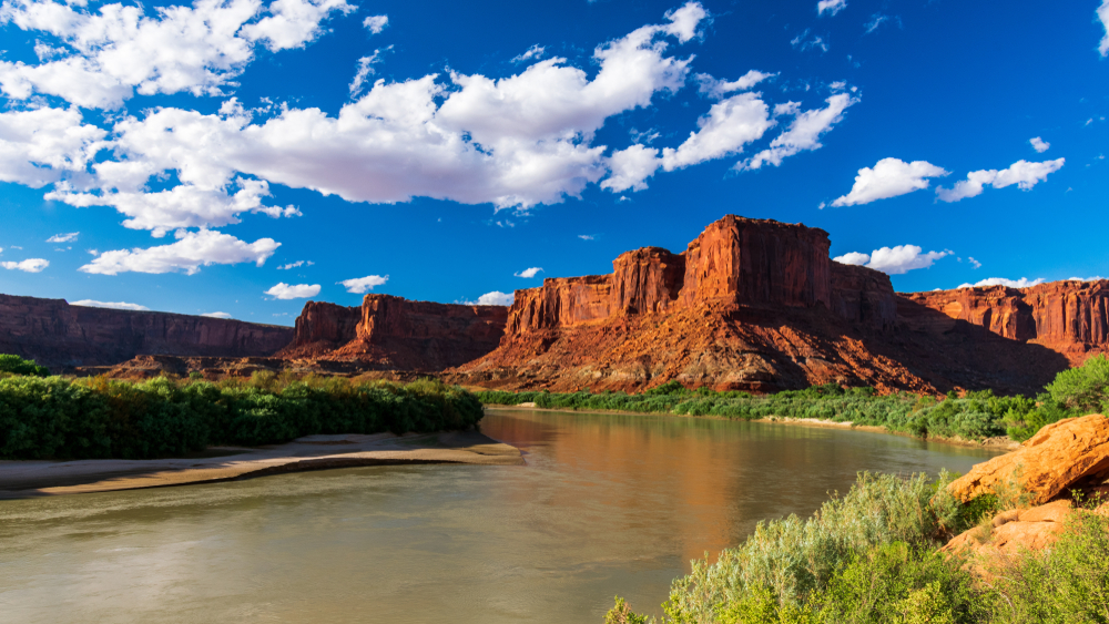
5. Colorado River – 1,450 miles
The Colorado River begins in Colorado and flows for 1,450 miles from the Rocky Mountains to California, ultimately emptying into the Gulf of California. This winding river also traverses the states of Arizona, Utah, and Nevada. Formed millions of years ago, this river carved the Grand Canyon, its mighty flow creating erosion that divided massive rock formations. In 1936, the US built the Hoover Dam on this river, forming Lake Mead, the hydropower source for the city of Las Vegas.
6. Arkansas River – 1,443 miles
The Mississippi River’s tributary, the Arkansas River, flows for 1,443 miles, making it the sixth-longest river in the US. It flows east and southeast through the states of Arkansas, Colorado, Kansas, and Oklahoma.
Originating near the town of Leadville, Colorado, in the Rocky Mountains, this river eventually enters the Mississippi River at Napoleon, Arkansas.
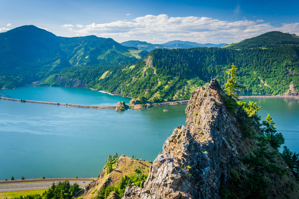
7. Columbia River – 1,243 miles
Known for being an excellent area for outdoor activities, the 1,243 miles of the Columbia River earned its reputation as a hiking, fishing, and camping destination. It passes through Washington and Oregon plus the Canadian province of British Columbia before dumping into the Pacific Ocean.
The largest river in the US’s northwest region, the Columbia River provides hydroelectric power for much of the region. The US constructed the largest power-producing dam, the Grand Coulee Dam, on the Columbia.
8. Red River – 1,125 miles
The 1,125-mile Red River begins its flow in New Mexico, traversing Texas, Oklahoma, Arkansas, and Louisiana. It once discharged into the Mississippi River, but its flow changed and it now empties into the Atchafalaya River, a tributary of the Mississippi River.
This lengthy river forms the border between Texas and Oklahoma, becoming the name of one of the greatest rivalries in American football – the Red River Rivalry, which annually pits The University of Oklahoma against The University of Texas. The lives and industries of the four states through which the river flows have caused many legal arguments over its use. In 1955, the US Congress directed the four states the river traverses to negotiate a compact.
The process took 23 years. In 1978, the federal government approved The Red River Compact and the compact created The Red River Compact Commission, comprised of eight members, two from each state. Since another US river also took the name Red River, you will read references to the Red River of the South and the Red River of the North. The former refers to the water border of Oklahoma and Texas.
9. Snake River – 1,040 miles
How you count tributaries matters a lot when determining a river’s length. Various sources place the Snake River anywhere from ninth to thirteenth on the list, but its most recent measurement of 1,040 miles in length places it at number eleven.
Beginning in Wyoming, the river winds through Idaho and Washington and it comprises the largest tributary of the Columbia River. The river flows through Hells Canyon on the border of Oregon, Washington, and Idaho. Exploring this canyon offers camping, fishing, jet boating, hunting, white water rafting, and hiking as pastimes.
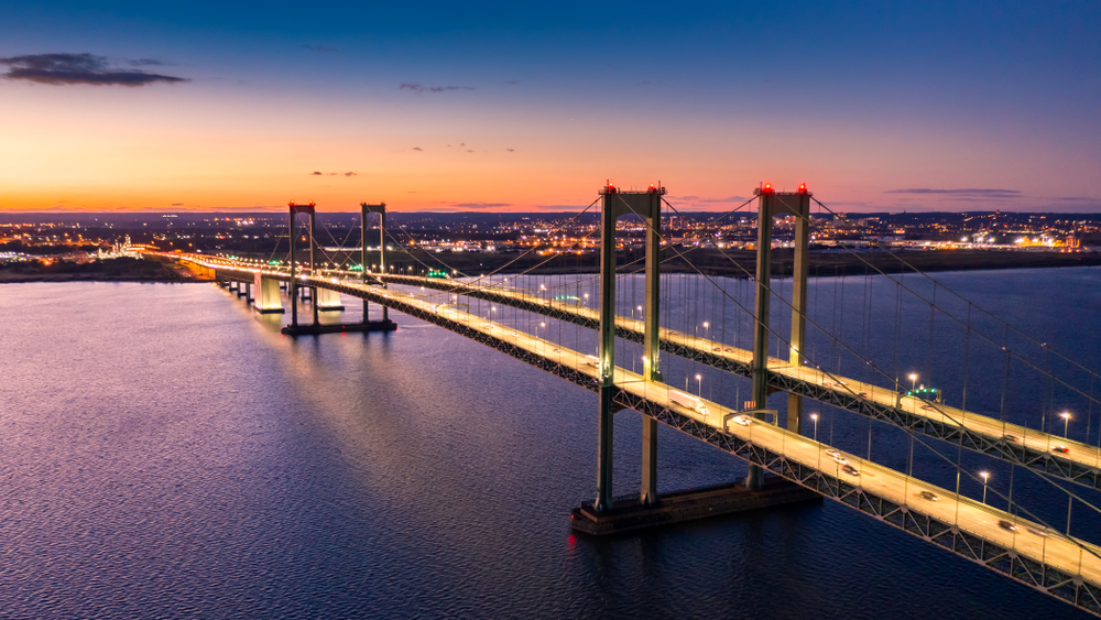
10. Ohio River – 979 miles
Although named the Ohio River, this river neither begins in nor ends in that state. The name comes from the Iroquois word in the Seneca language, oyo, meaning “good river” or “great river.” At 979 miles in length, this river starts its flow in Pittsburgh, PA, at the confluence of the Monongahela and Allegheny rivers. It traverses the states of Ohio, West Virginia, Kentucky, Indiana, and Illinois, emptying into the Mississippi River in Cairo, IL.
It serves as the drinking water source of five million people and about 25 million individuals live in its river basin. Some measurements put this river at 1,310 miles in length, but this depends on the calculation method and whether the measurement includes man-made alterations.
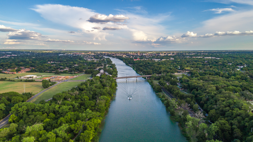
11. Colorado River of Texas – 970 miles
Not to be confused with number five on our list, this Colorado River originates in Lubbock, Texas, flows southeasterly through Austin, and ultimately empties into the Matagorda Bay in the Gulf of Mexico.
Although not associated with the Hoover Dam or with carving the Grand Canyon, Texas’ Colorado River has its own merits to be proud of. This river is crucial to Texans, offering precious water needed for farming, drinking water, and power production.
The Colorado River also has numerous recreation parks along its shores (11,000 acres of them to be precise!) and offers Texans fishing, tubing, and boating, along with many other ways to enjoy its beautiful waters.
12. Tennessee River – 935 miles
A tributary of the Ohio River, the 935-mile-long Tennessee River, once referred to as the Cherokee River, flows through Tennessee, Alabama, and Kentucky.
A small part of this river forms one of the borders of Mississippi but just misses Georgia by 250 feet. While it provides excellent fishing for multiple fish species, this river is best known for its catfish.
13. Canadian River – 906 miles
The 906 miles of the Canadian River form the longest tributary of the Arkansas River. Beginning in Colorado, it flows through the states of New Mexico, Oklahoma, and Texas. In some areas in Oklahoma, it has run dry, in others, it forms puddles.
Explorers have called this river by many different names, including the Magdelena or Rio Buenaventura. In areas that receive a plethora of rainfall, the river still forms a deep enough body of water for fishing.
14. Brazos River – 860 miles
Some sources place the measurements of this river’s length at 860 miles, while others place it at 1,280 miles. The Brazos River starts at the Blackwater Draw stream in New Mexico’s Roosevelt County, flowing through Texas and draining into the Gulf of Mexico. Some sources place it at twelfth on their list of the longest 30 rivers in the US, while others place it at fifteenth.
It divides Texas into its east and west halves. Dammed three times to form Lake Granbury, Possum Kingdom Lake, and Lake Whitney, the lake no longer has its original flow. It created flood problems for the state, so the state built Lake Whitney and Whitney Dam for flood control, as well as to irrigate cotton fields and generate hydroelectric power.
15. Green River – 760 miles
The main tributary of the Colorado River, this 760-mile-long river flows through Wyoming, Utah, and Colorado. It has inspired the song “Green River,” by Credence Clearwater Revival (CCR). Don’t confuse this Green River with the other Green River in the US, which is associated with the serial killer Gary Leon Ridgway.
The longer of the two rivers has a much happier past, home to the Fremont people from the 7th century to the 13th century. The Fremont people painted the canyon walls artwork of Utah and pre-dated the Ute and Navajo peoples who later settled the area.
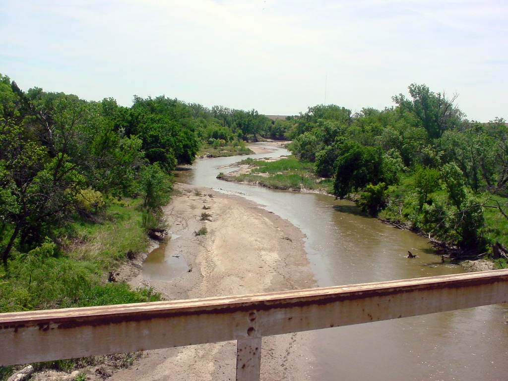
16. Pecos River – 730 miles
If you ever watch a Western film in which a character says he or she will travel to “west of the Pecos,” the line refers to this river! This 730-mile waterway through New Mexico and Texas empties into the Rio Grande River. This mid-south river proved integral to the Spanish’s exploration of Texas.
17. White River – 720 miles
The 720-mile long White River flows through the US states of Arkansas and Missouri. It originates in the Ozark Mountains and provides some of the best trout fishing in the US.
Many people enjoy exploring the Boston Mountains that it flows through, a favored area for hiking and camping. In the Ozarks, the area offers four unique species of trout in the river and makes a popular fishing destination.
18. James River – 710 miles
Another confusing case of two rivers named the same thing in the same country, the larger of the two James Rivers flows in the Dakotas. From North Dakota to South Dakota the James River flows approximately 710 miles.
The James River just edges out Alaska’s second-largest river by those two or three miles. Some maps and articles refer to it as the Dakota River. It is best known as a location for blue catfish fishing.
19. Kuskokwim River – 702 miles
Also referred to as the Kusko River, this Alaskan river flows for 702 miles from the Kuskokwim Mountains to the Bering Strait. It forms the second largest river in Alaska. Located in a remote area of Alaska, few towns exist on its banks, but you can visit it in Bethel, Aniak, and McGrath.
It is possible to access some remote villages along its shores; however, you will need to first fly into a larger town (like Bethel, Aniak, or McGrath) to start your journey. From there, you would need to either float the river or fly, as roadways are rare in this part of the state.
20. Cimmaron River – 698 miles
The Cimmaron River makes a 698-mile trek through four southern Mid-West states – New Mexico, Colorado, Oklahoma, and Kansas. It merges with the Arkansas River and forms Lake Keystone. In Oklahoma, the river contains many minerals and salt, making its water undrinkable. In New Mexico, the Cimmaron provides ideal fishing conditions for brown and rainbow trout.
21. Cumberland River – 696 miles
Both Kentucky and Tennessee claim the Cumberland River, which winds its way through both southern states for 696 miles. The river flows west from the Appalachian Mountains to the Ohio River. You can easily explore this river by visiting General Burnside State Park in Burnside, Kentucky.
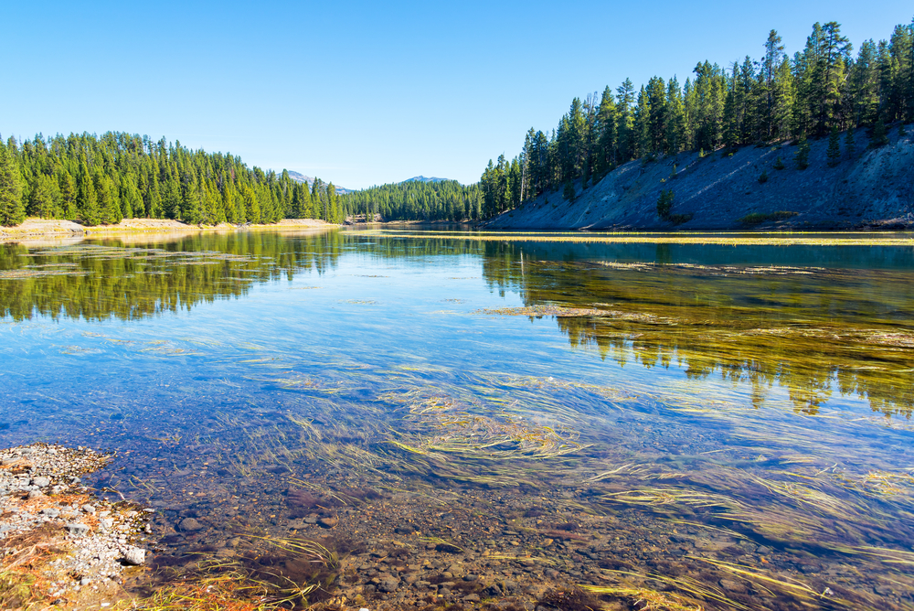
22. Yellowstone River – 678 miles
The Yellowstone River’s 678-mile-long flow traverses Montana and also enters Wyoming and North Dakota. This Missouri River tributary is the last undammed major US river. You can visit it when traveling to Yellowstone National Park. This river provides many famous sights, including Old Faithful, Mammoth Hot Springs, Grand Prismatic Spring, Tower Fall, and the Upper Falls of the Yellowstone River.
23. North Platte River – 665 miles
Central Wyoming’s only floatable waterway, the 665-mile long North Platte River provides fishing, recreation, and scenic views. It also flows through Nebraska and Colorado.
24. Milk River – 625 miles
Not to be confused with the Milk River in Jamaica, this Milk River flows through Montana and enters Canada, but eventually dumps its 625-mile-long waters into the Missouri River. The area by the river in Montana is widely known for its deer hunting.
25. Ouachita River – 605 miles
The Ouachita River flows for 605 miles through Louisiana and Arkansas, traveling south and east. In Louisiana, it joins the Tensas River to form the Black River.
This river provides a major recreational center for residents of Arkansas and provides the source for three of the state’s major lakes – Lake Ouachita, Lake Hamilton, and Lake Catherine.
26. Saint Lawrence River – 600 miles
The US also shares the Saint Lawrence River and Seaway System with Canada. Rather than flowing from Canada to the US, this river system flows from the US state of Minnesota into Canada – a northeast flow. The river provides the Great Lakes Basin with its primary drainage. The total Great Lakes-St. Lawrence Seaway System flows for 2,500 miles, beginning at the US’ North River. Its outflow occurs in the Atlantic Ocean via the Cabot Strait.
Passing through both the Ontario and Quebec provinces of Canada, this river also borders New York state. This river has provided transportation for much of the trade for both countries since the arrival of Europeans to North America. It often gets placed as low as 26th to 28th on the list because only 600 miles of its 2,500 miles traverse through the US.
26. Gila River – 600 miles
This river of 600 miles in length ties with the Saint Lawrence and flows through Arizona and New Mexico as well as into Mexico. For more than 2,000 years, the river has provided a home for indigenous peoples. The river bisects two nationally protected places – the Gila National Forest and the Gila Cliff Dwellings National Monument.
28. Sheyenne River – 591 miles
Also referred to as the Red River of the North, this 591-mile-long river provides the US state of North Dakota with drinking water and leisure pursuits.
29. Tanana River – 584 miles
Another Alaskan river, the Tanana forms one of the tributaries of the Yukon River. This 584-mile-long river hosts one of the most unique contests in the US, the Nenana Ice Classic.
Each year, as a fundraiser for local charities, people place bets on the exact date and minute that the ice in the river will float out into the Nenana River. At $2.50 per guess, the contest raises quite a bit of money, as thousands participate each year.
30. Smoky Hill River – 576 miles
Flowing through Colorado and Kansas, the Kansas River forms the mouth of the 576-mile long Smoky Hill River. In Salina, Kansas, the Friends of the River Foundation works to restore the river’s natural channel.